Relive the Memories of IMCOS 2018

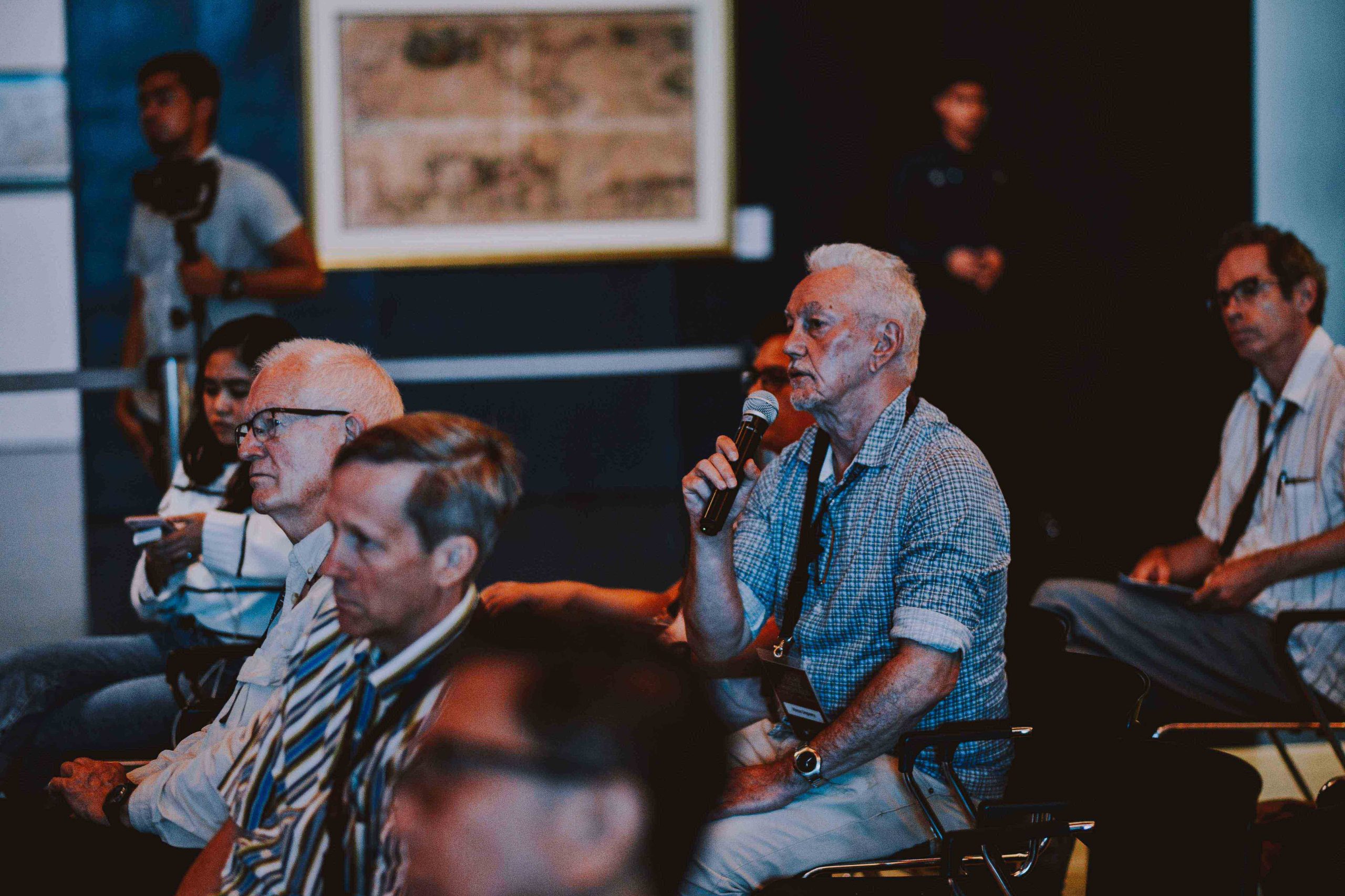
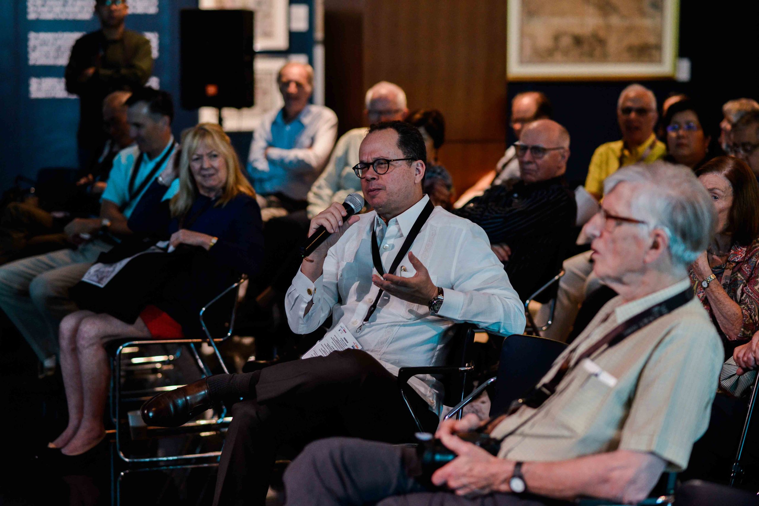
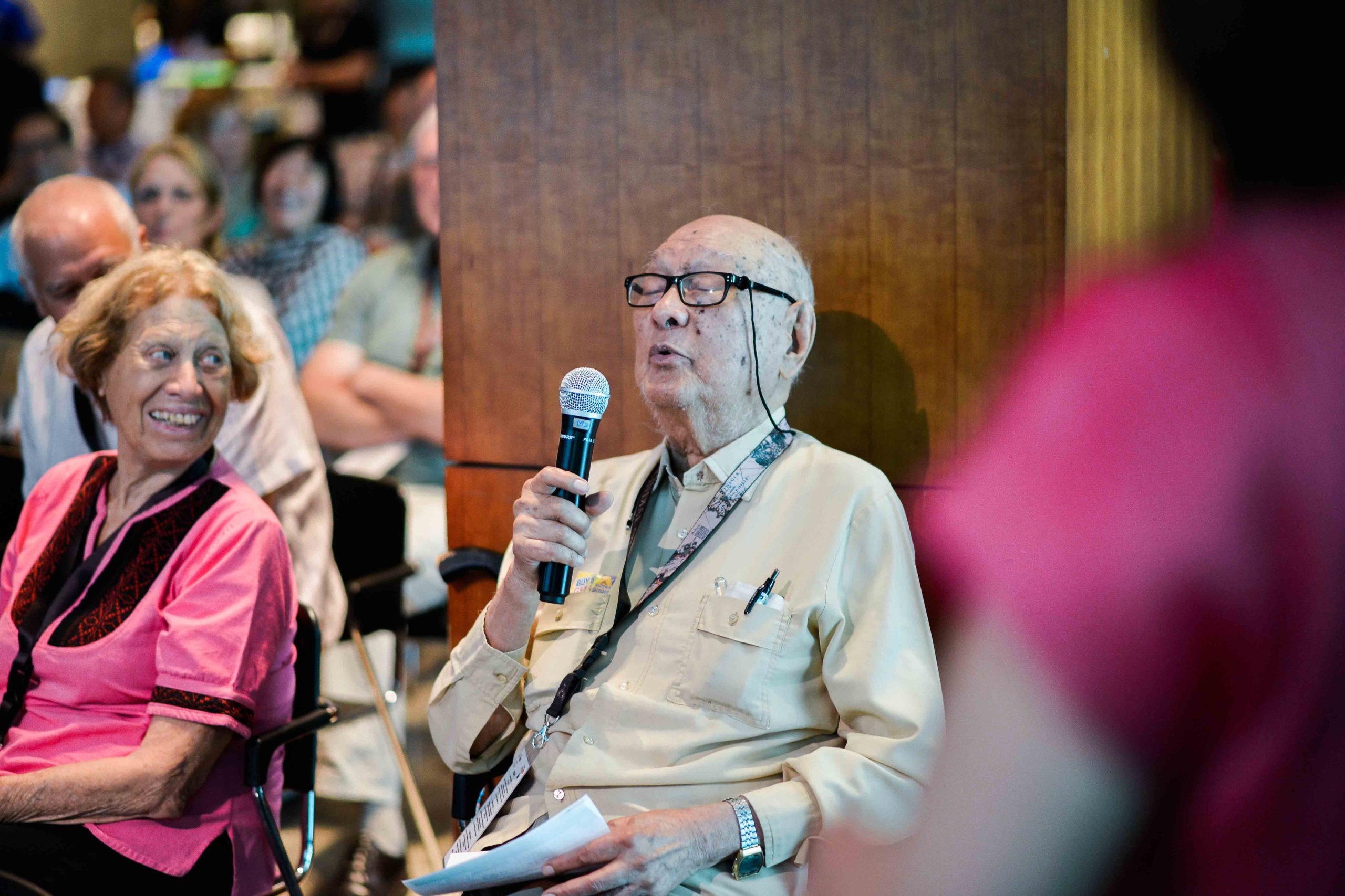
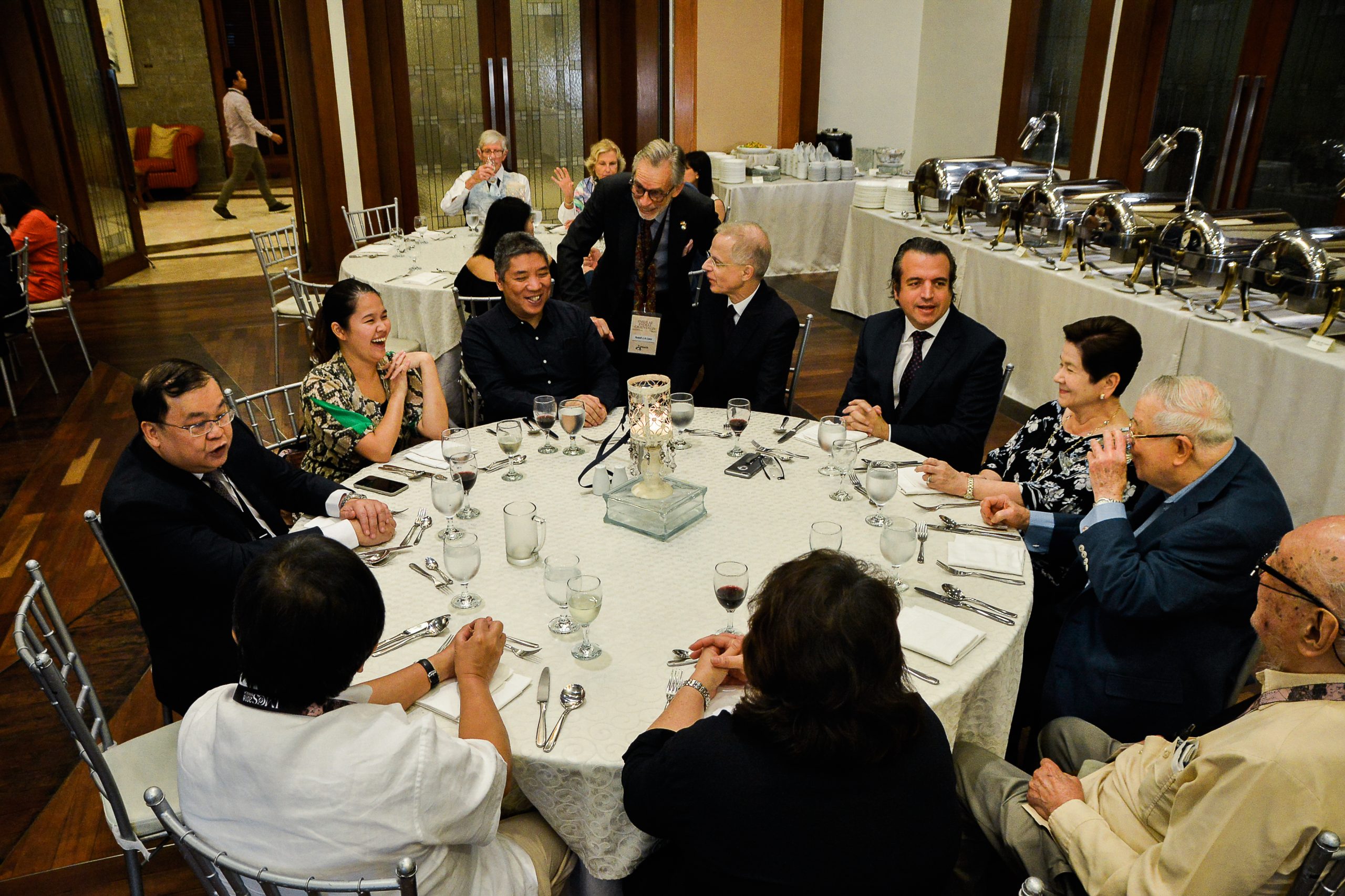
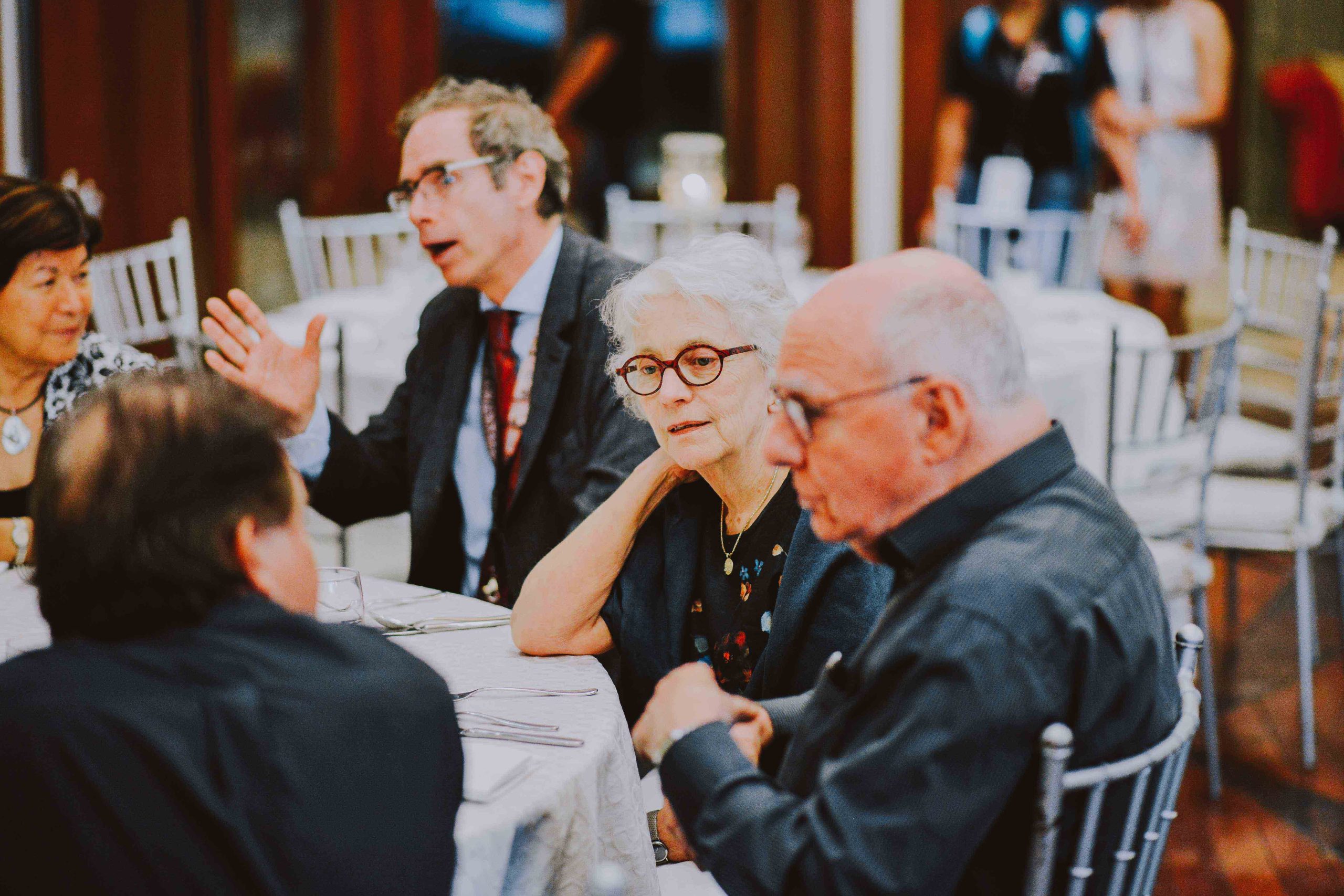
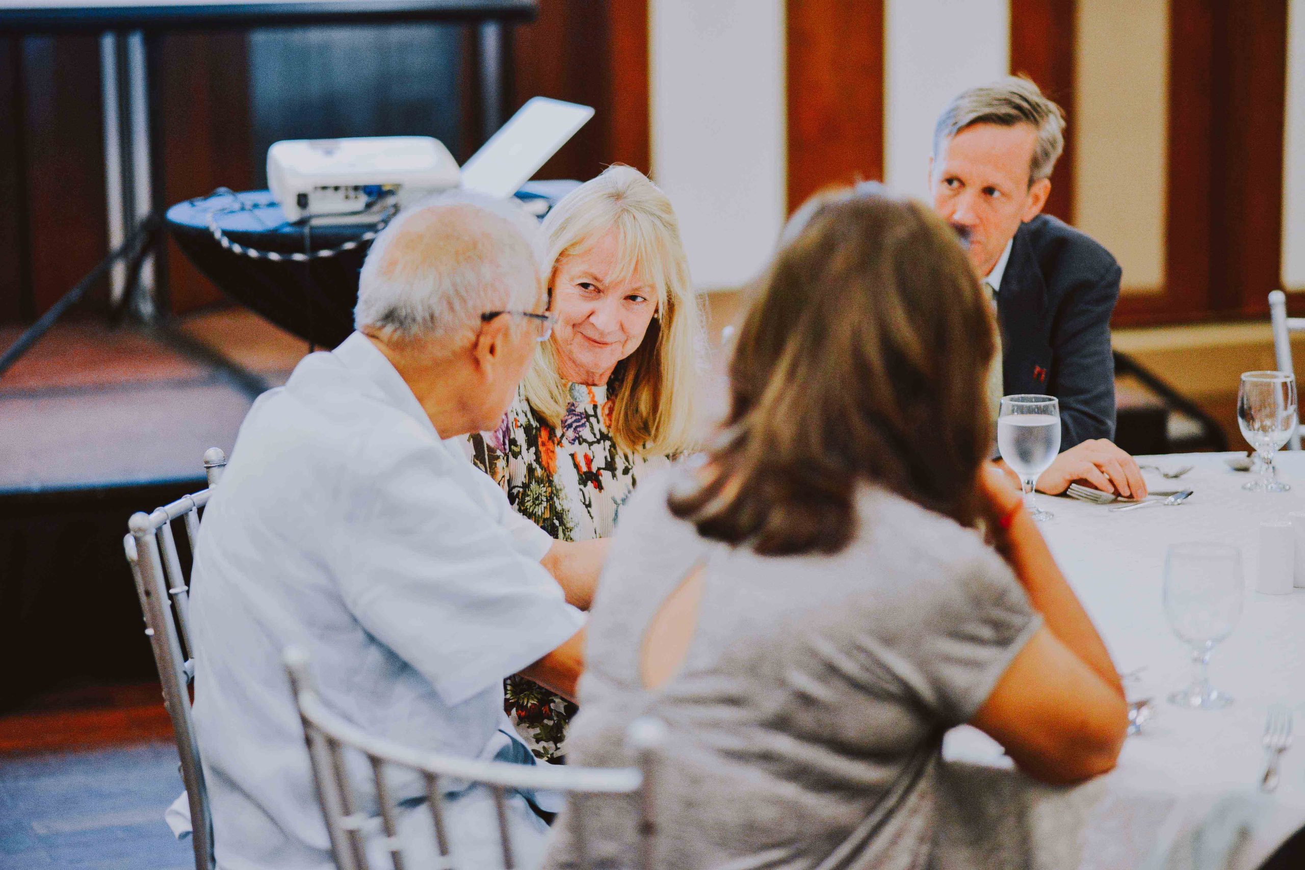
Browse our archive of photographs and post-event videos capturing the lectures, exhibitions, tours, receptions, and memorable moments of the 36th IMCoS Symposium in Manila. We invite you to revisit the experience and reminisce about the friendships, discoveries, and shared passion for maps that made the event truly unforgettable.
Registration
Makati Diamond Residences Hotel
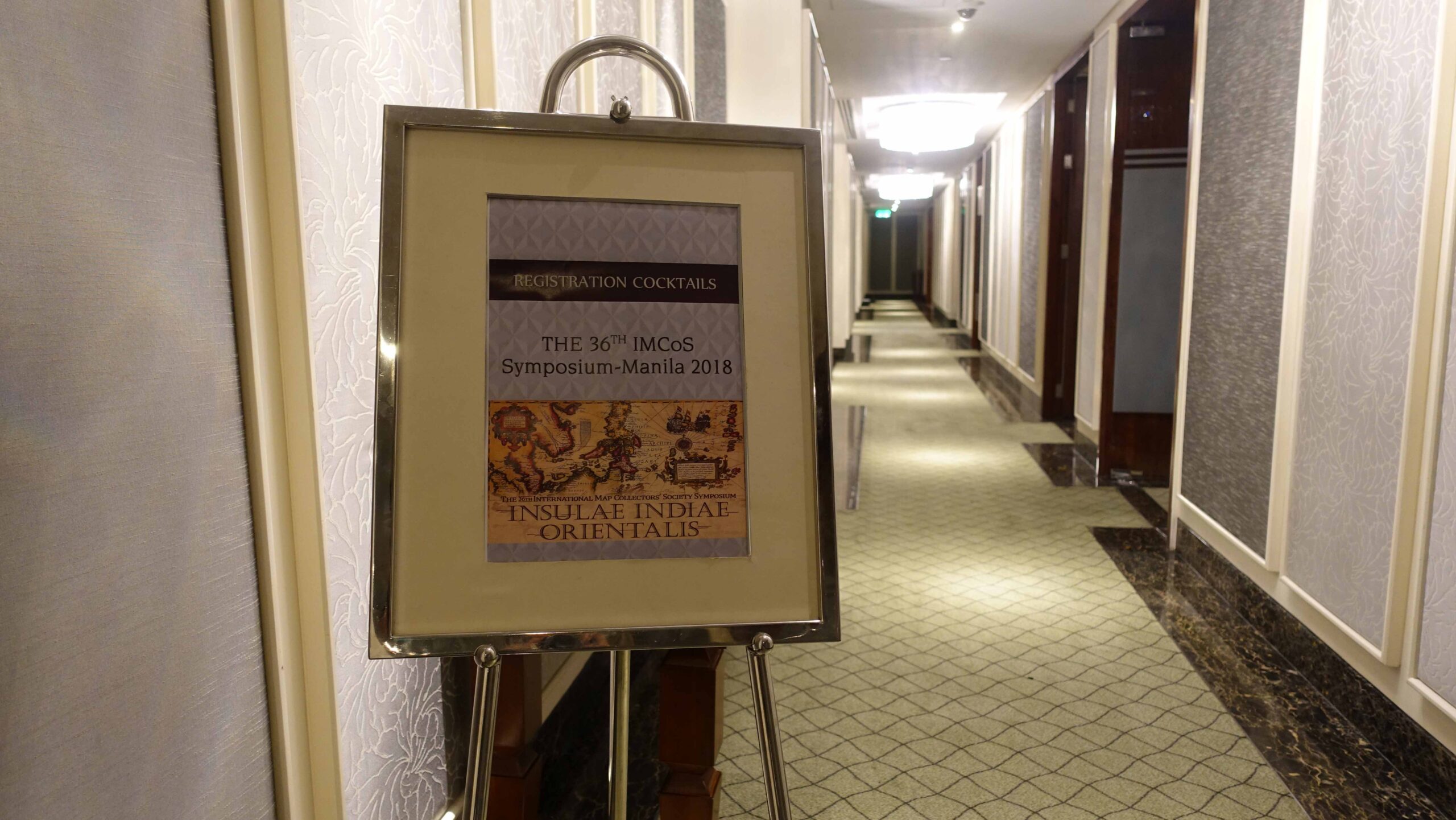
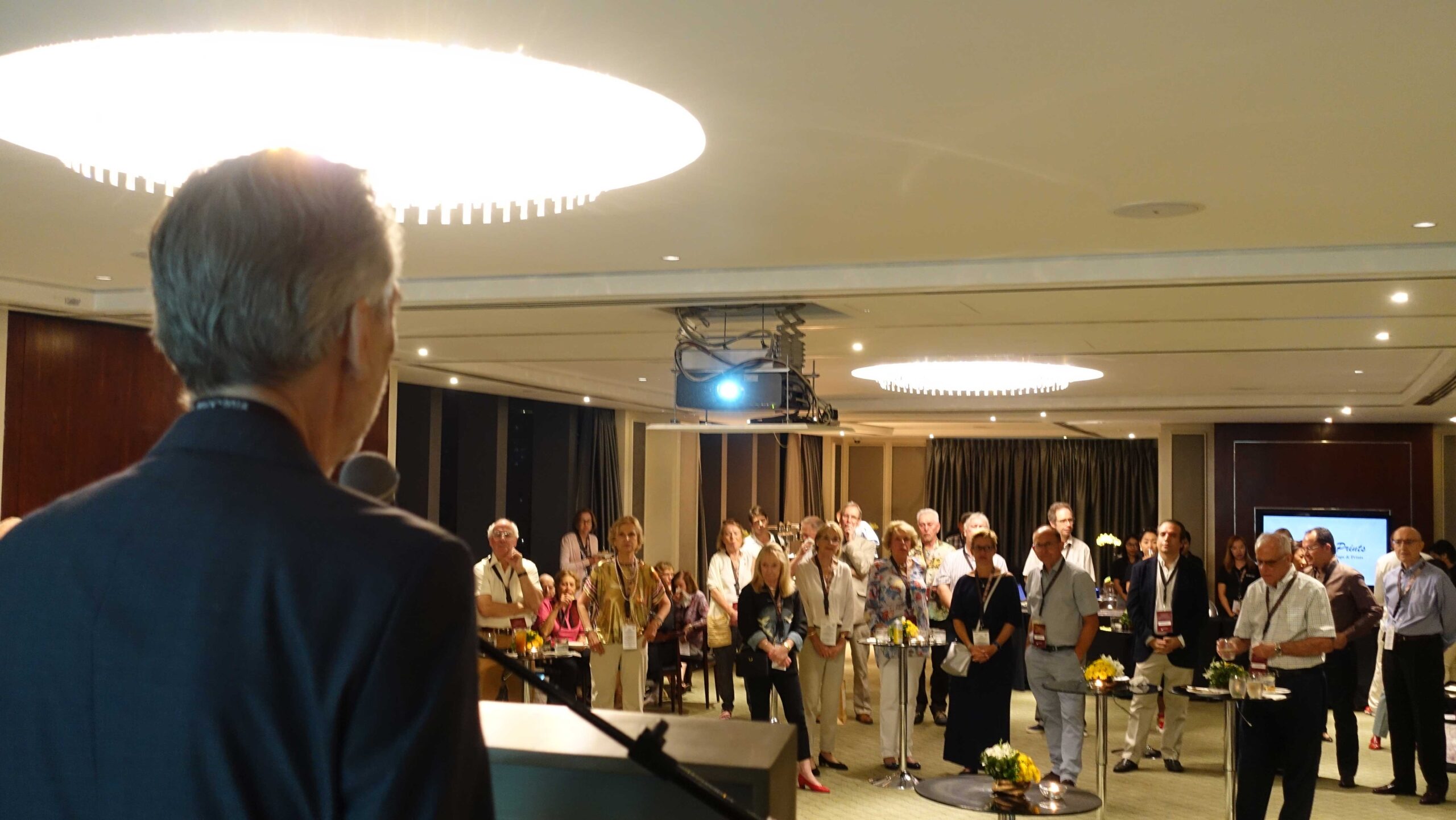
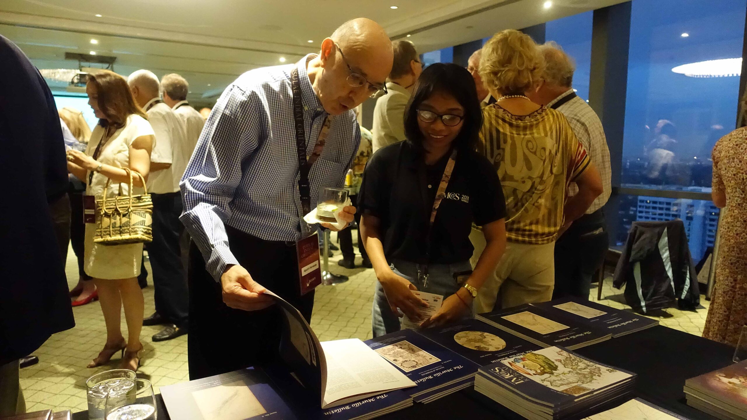
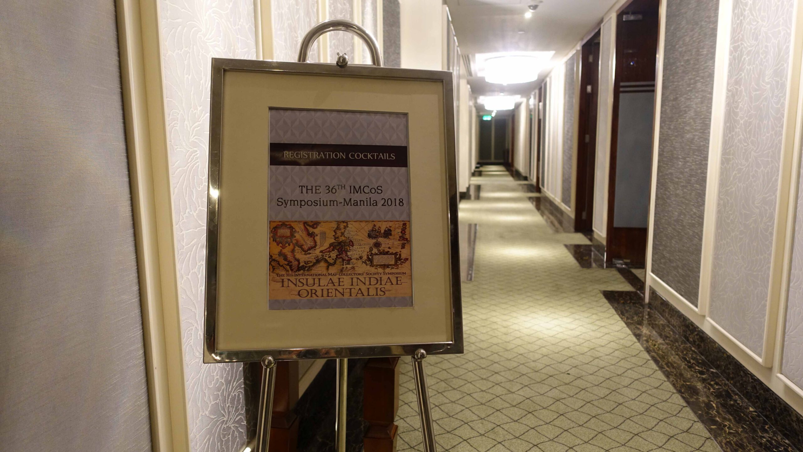
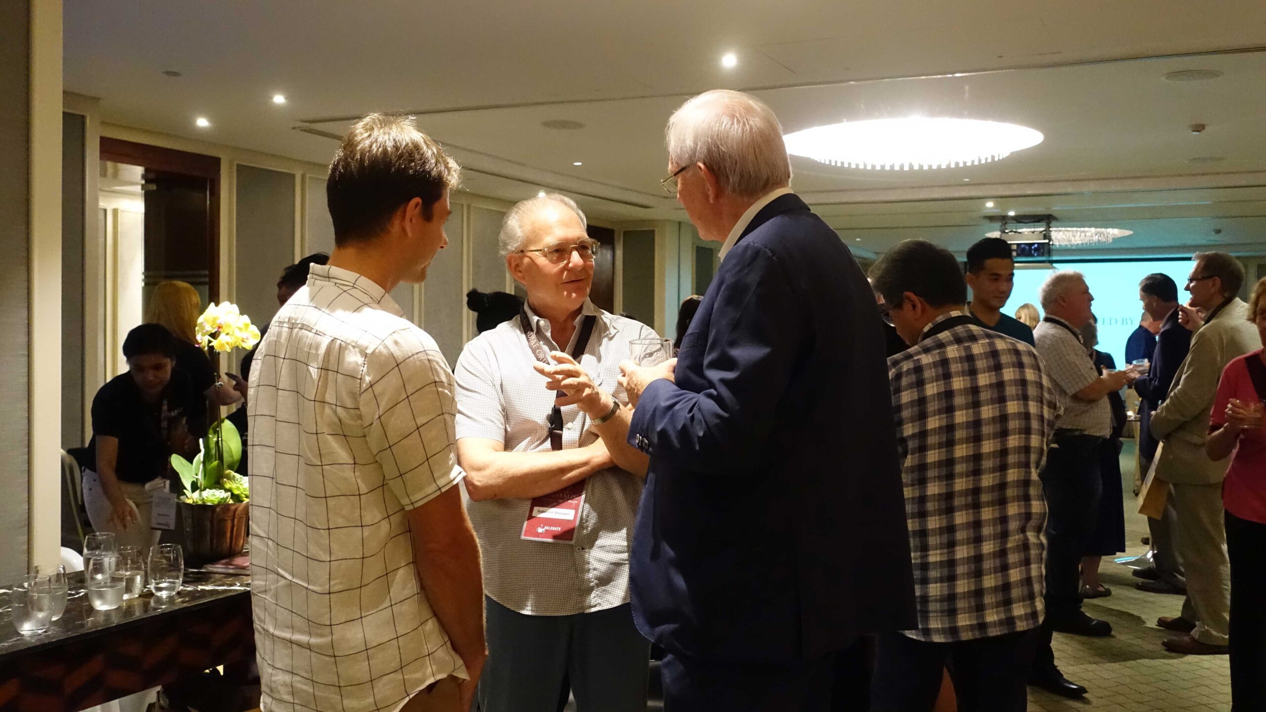
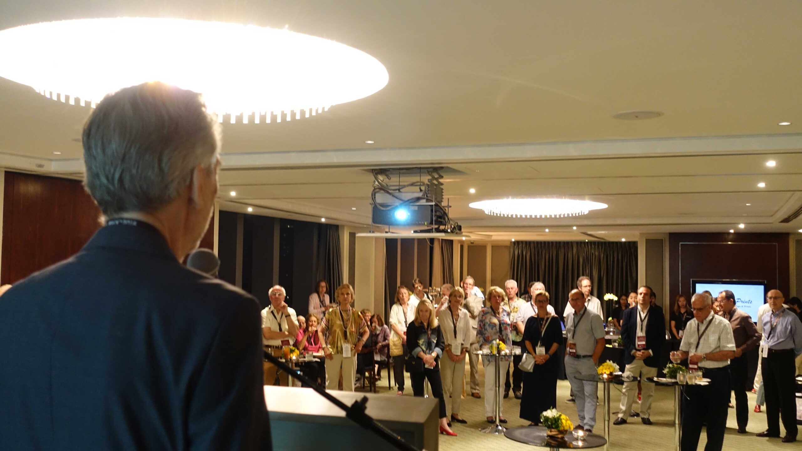
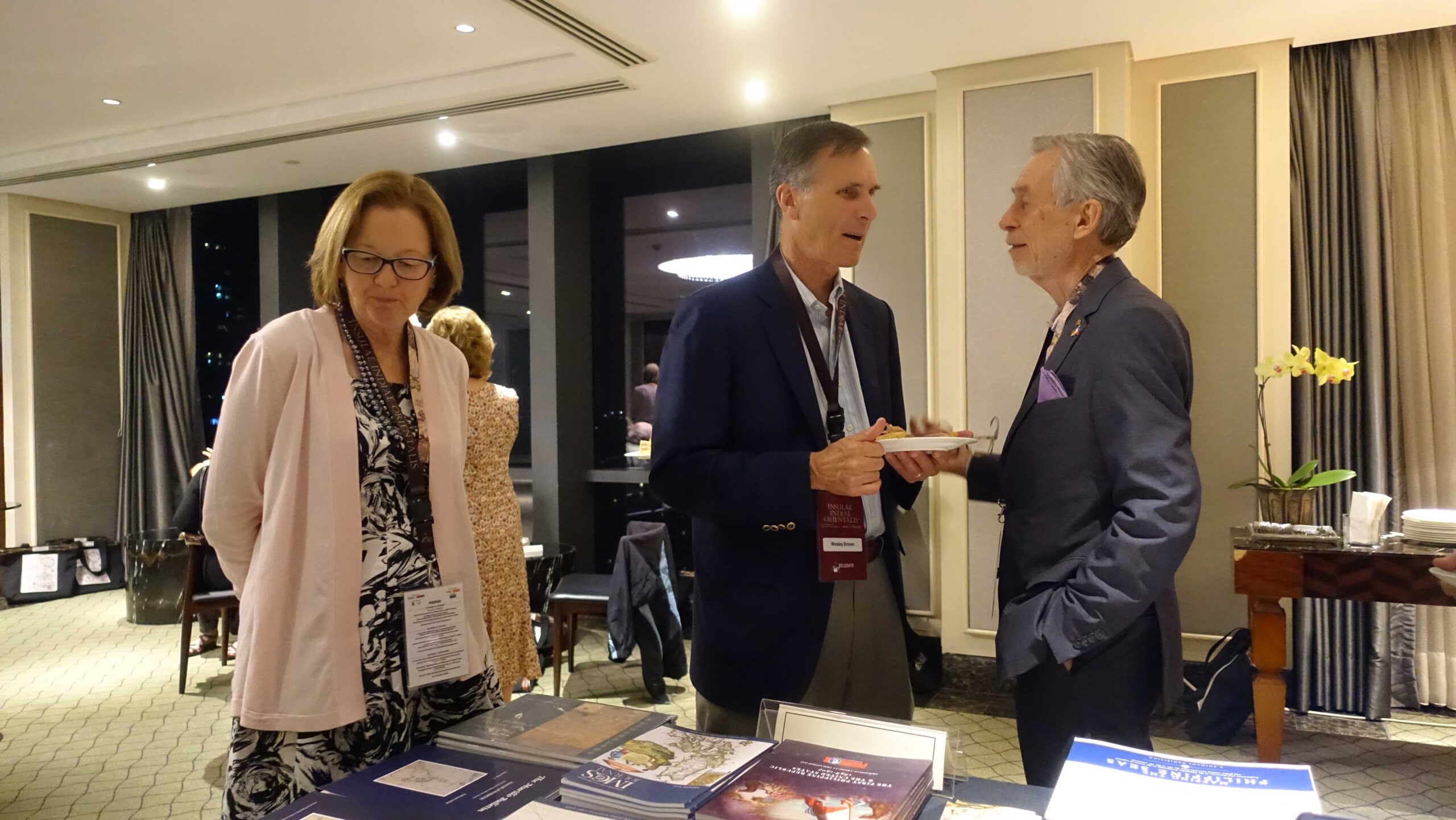
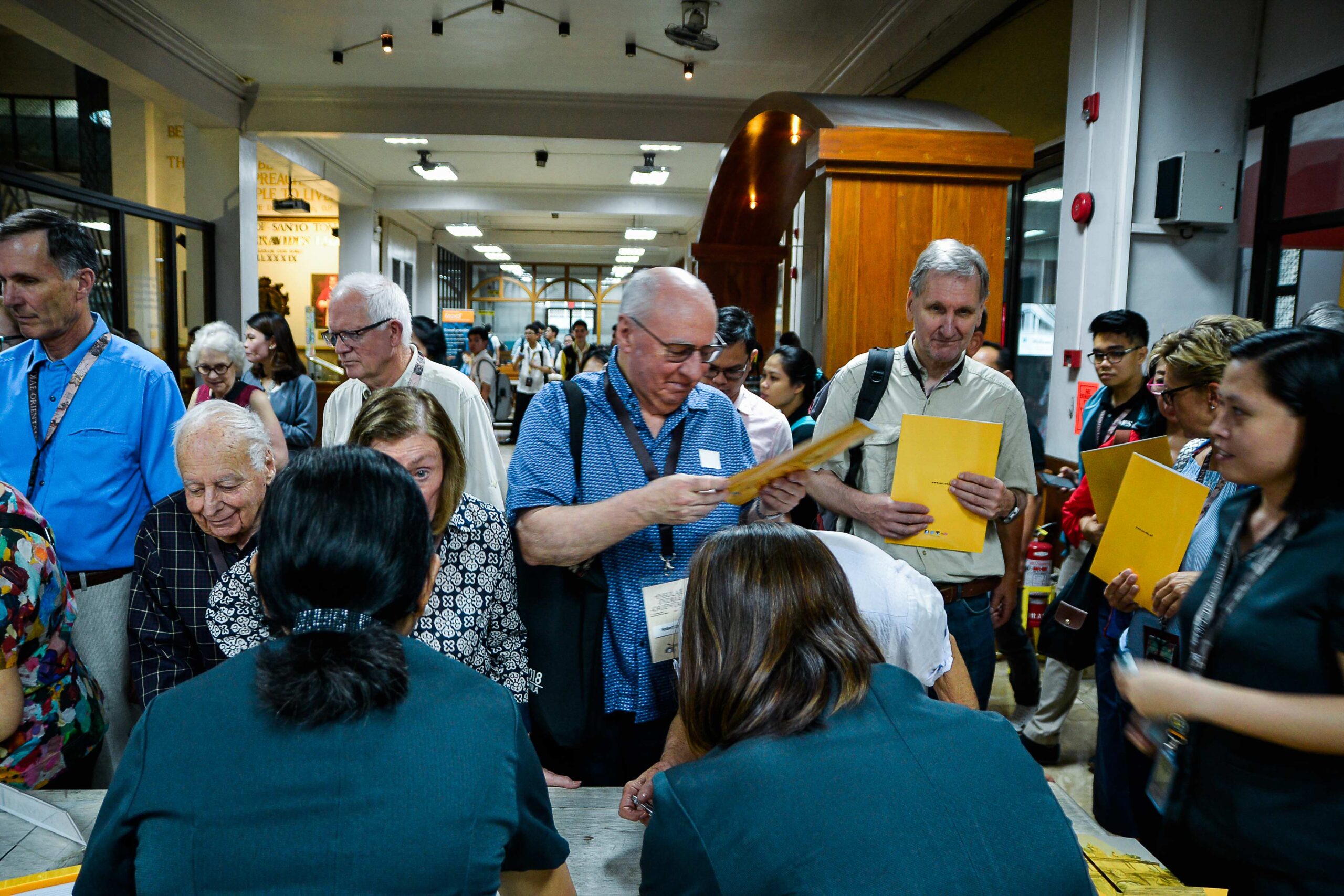
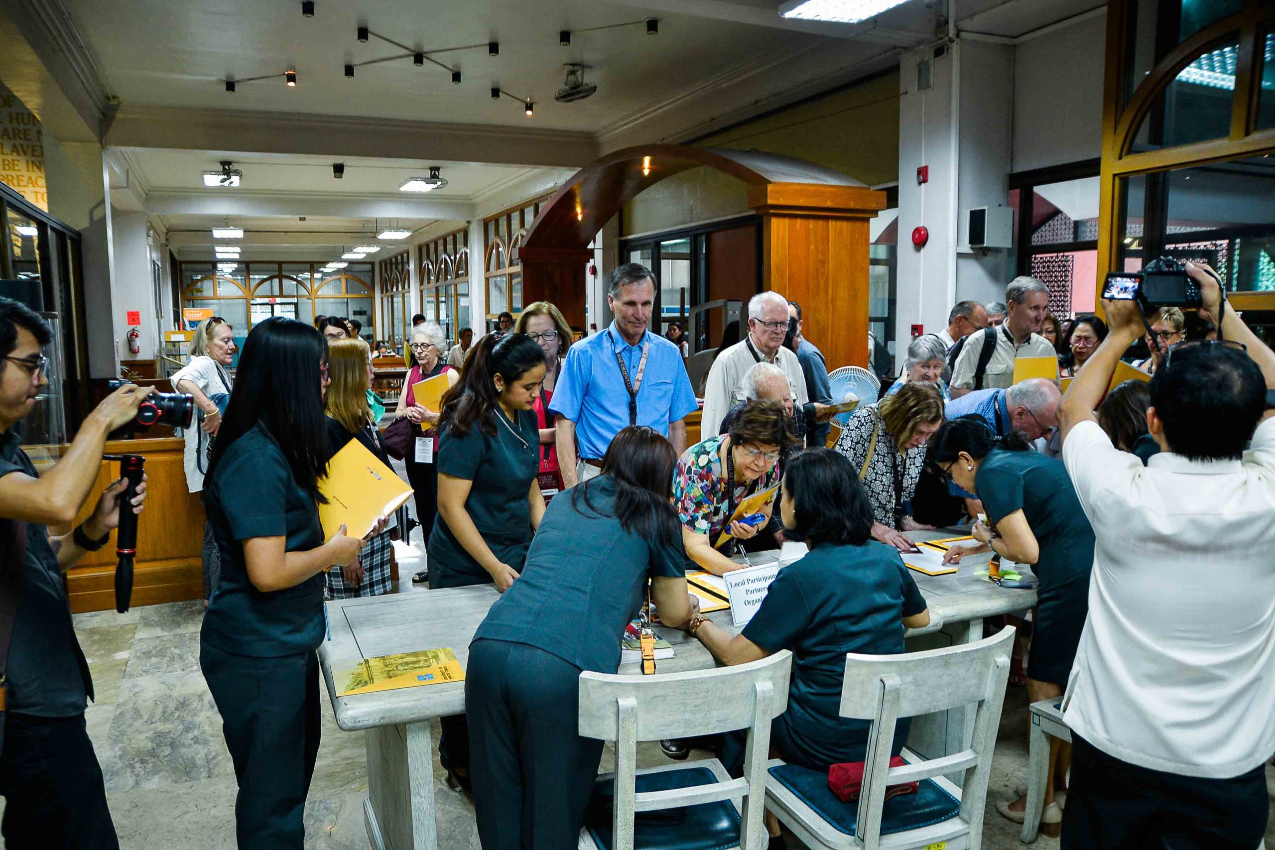
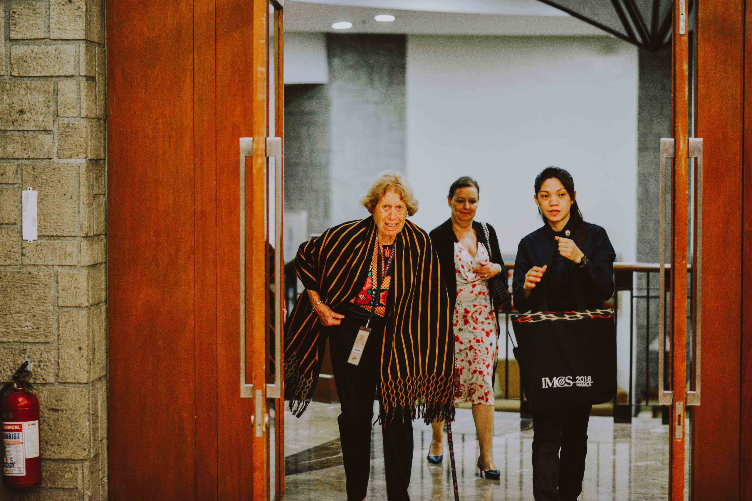
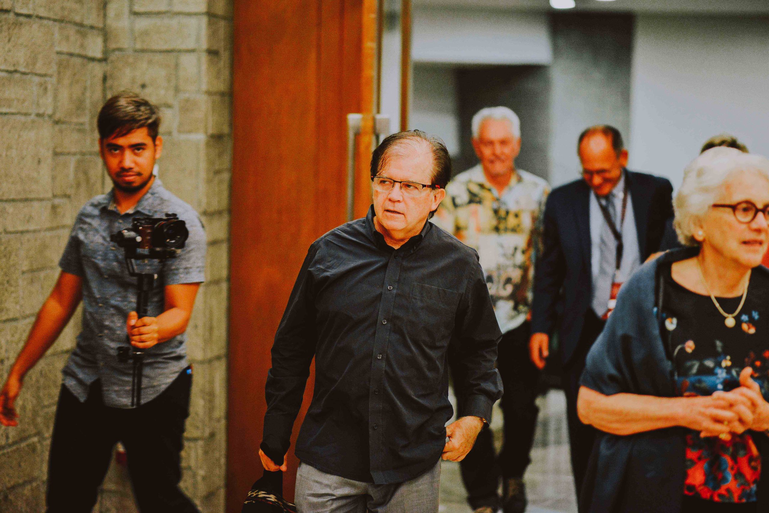
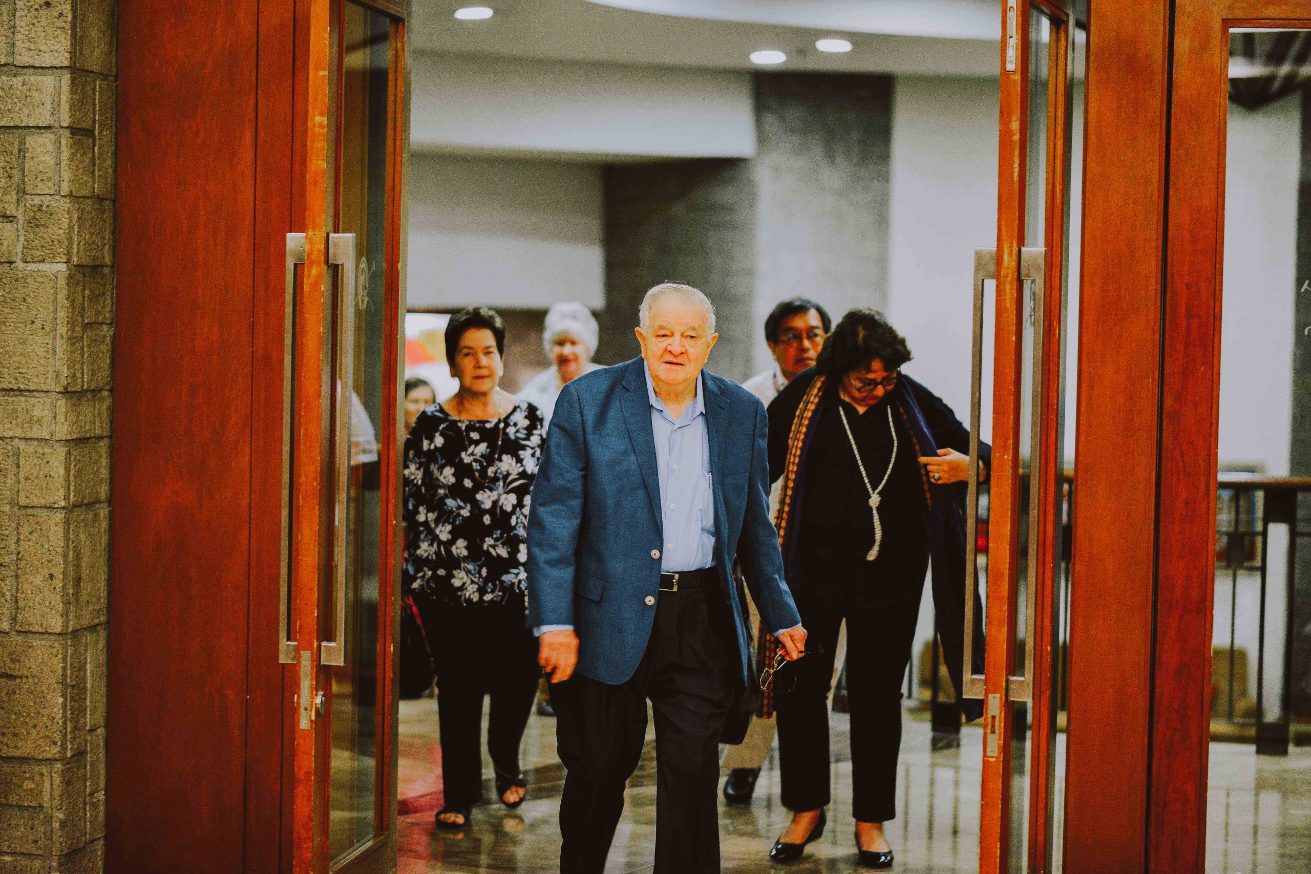
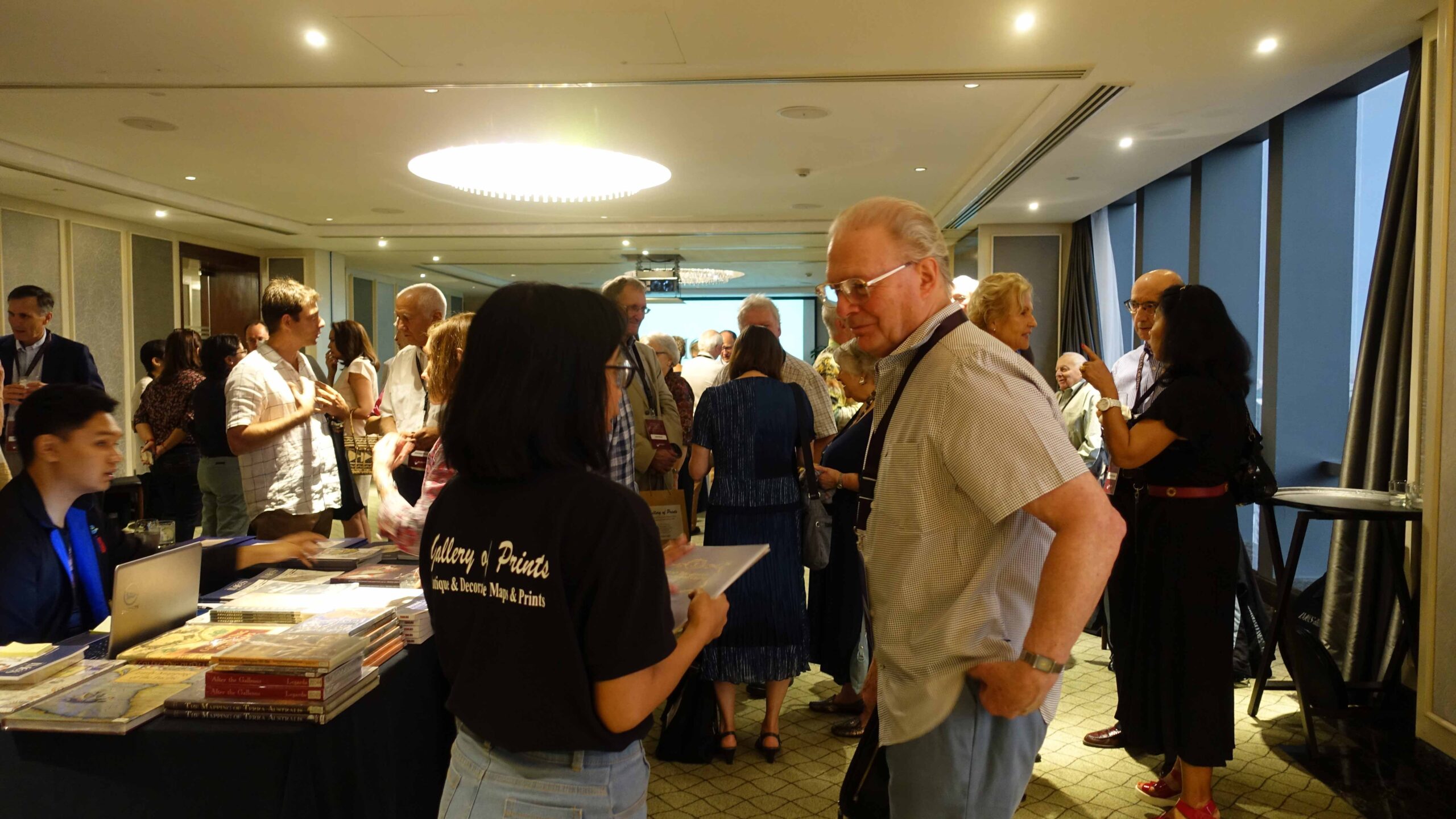
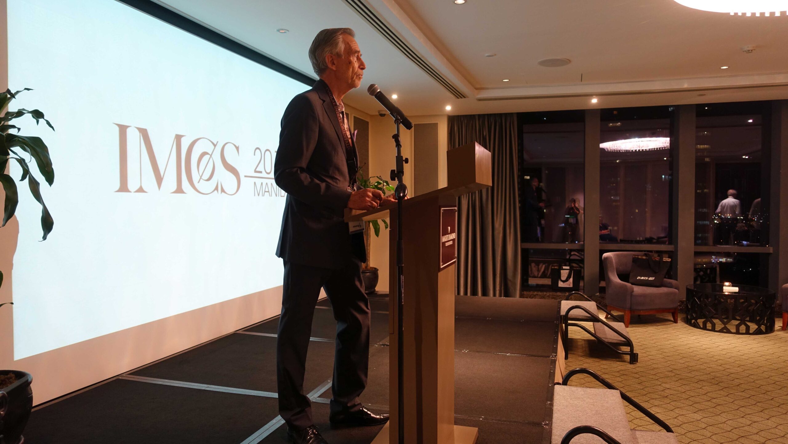
The IMCoS-Manila-Symposium Registration & Welcome Reception Cocktails
Day 1
Opening the Maps of History
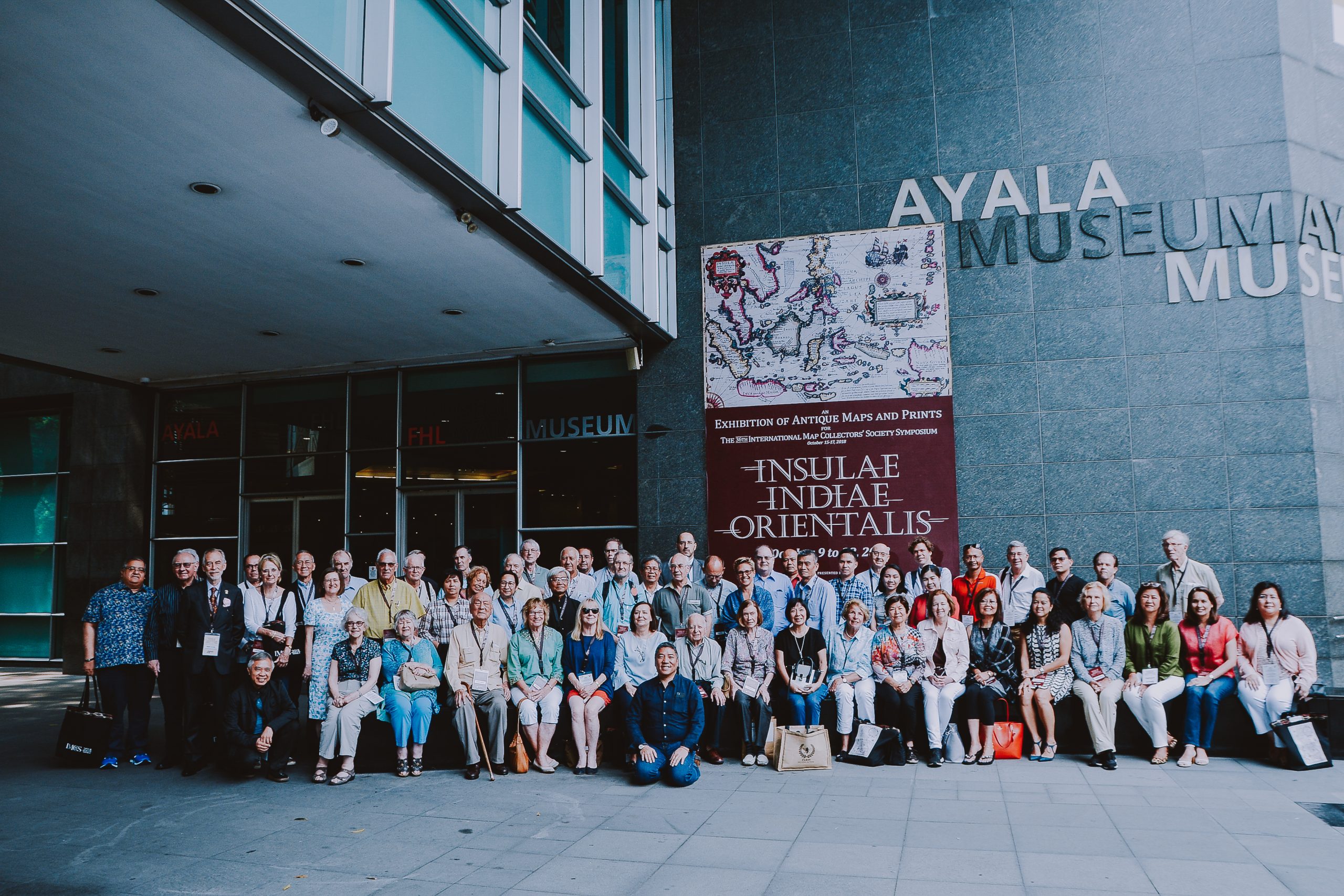
Ayala Museum, Makati City, Metro Manila
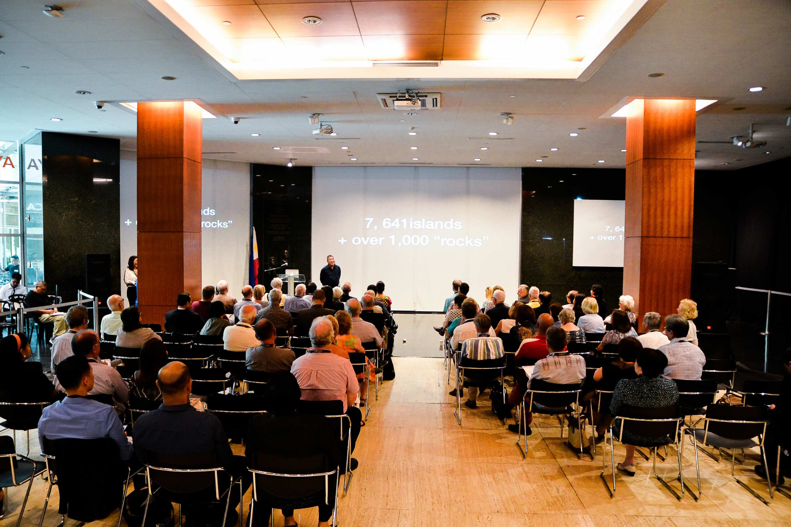
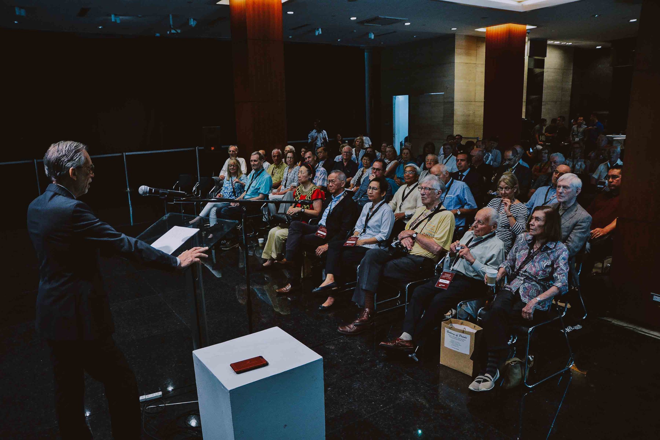
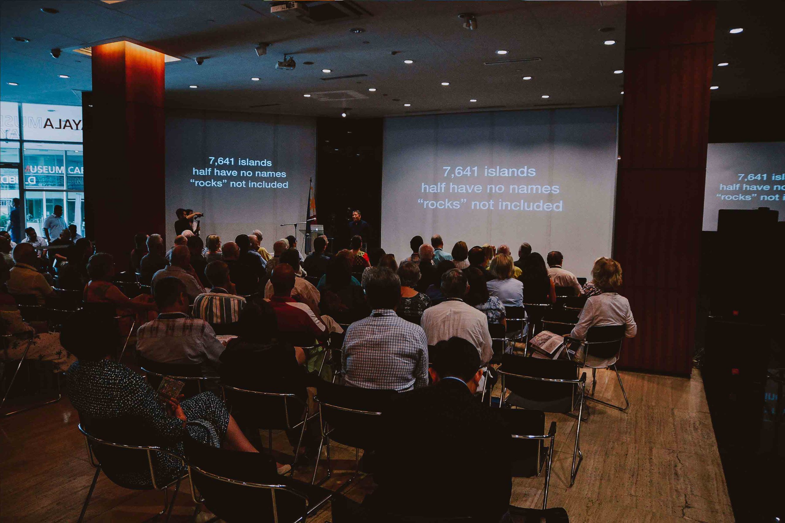
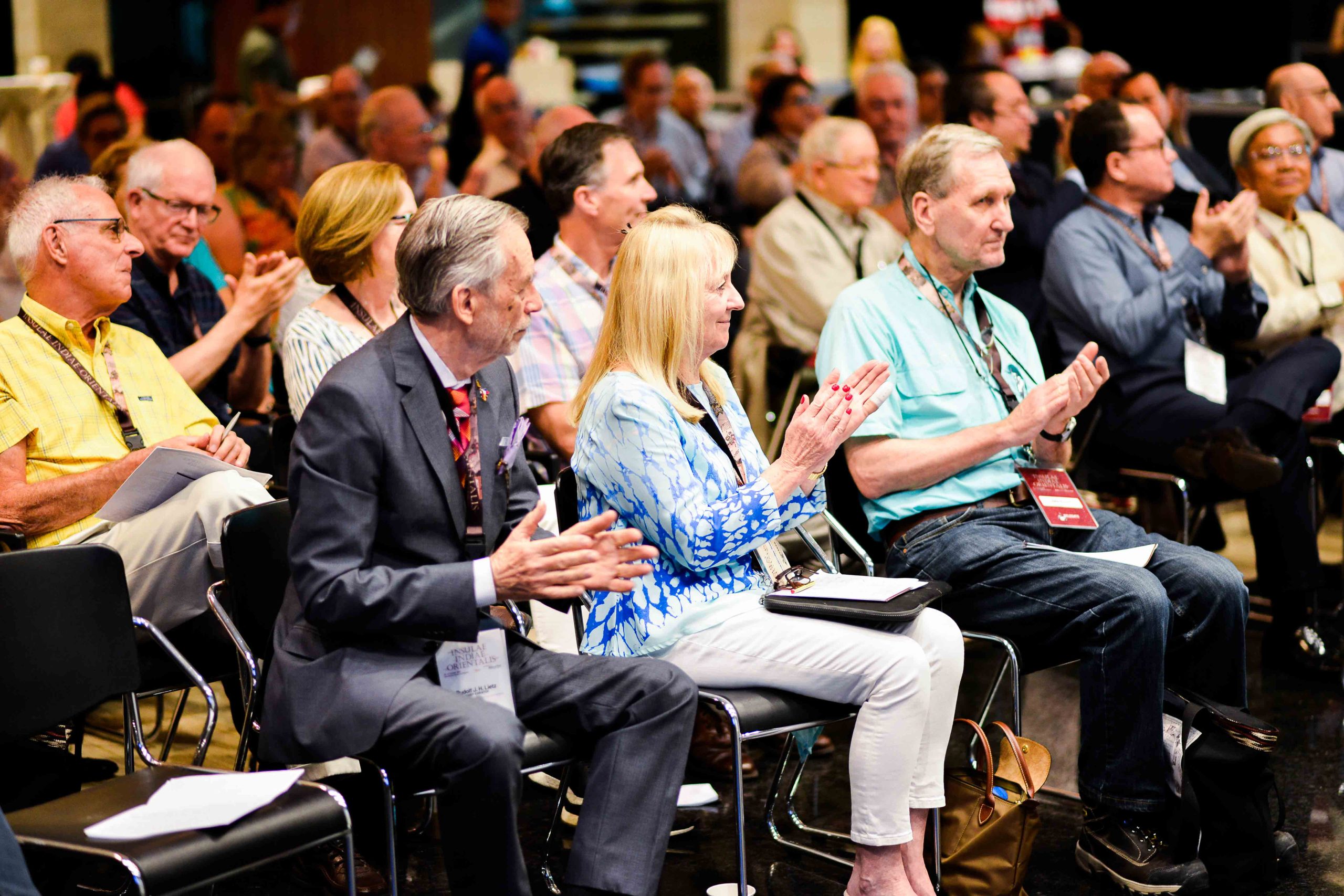
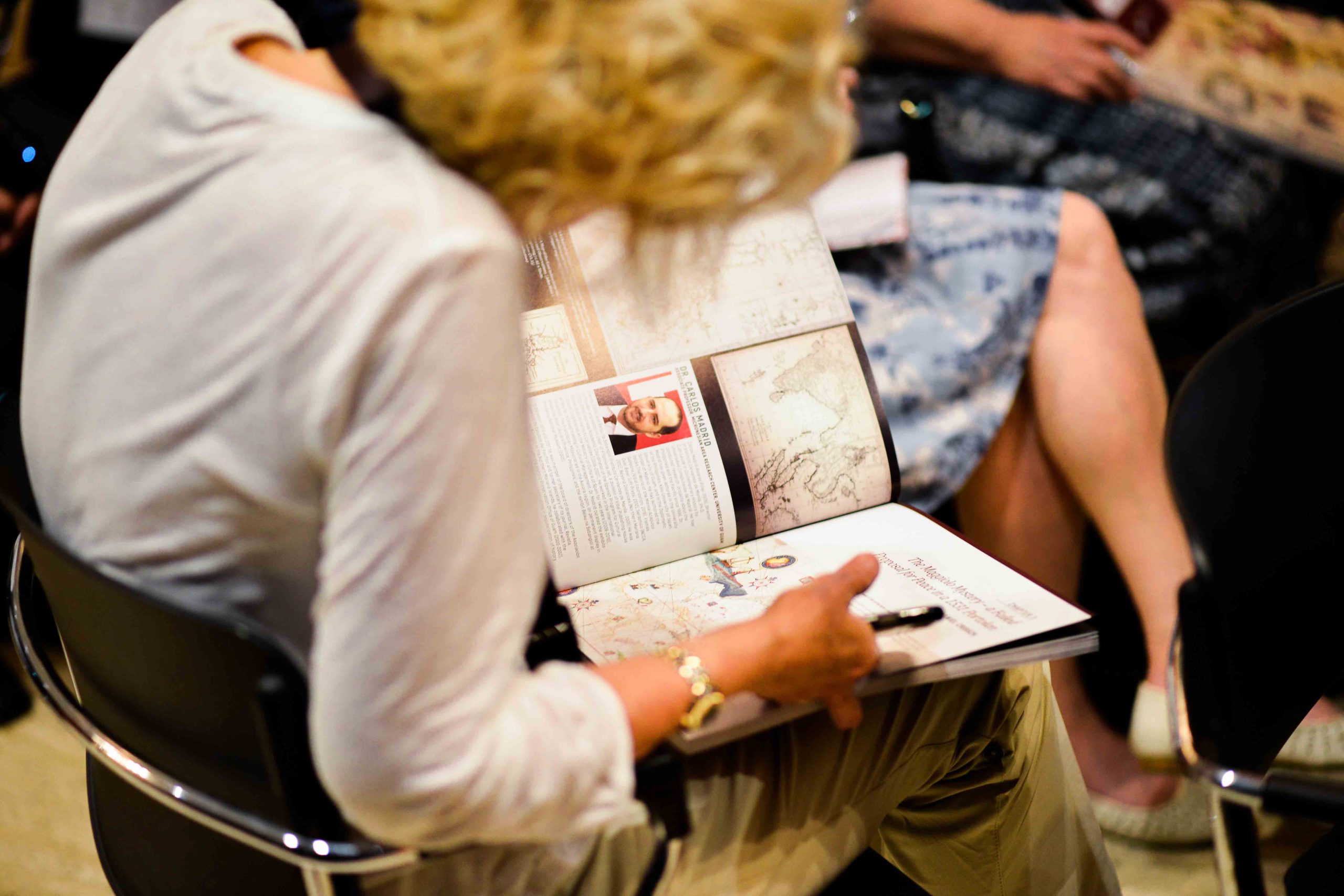
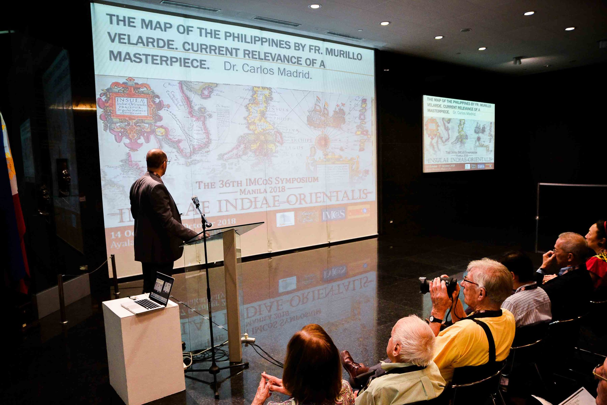
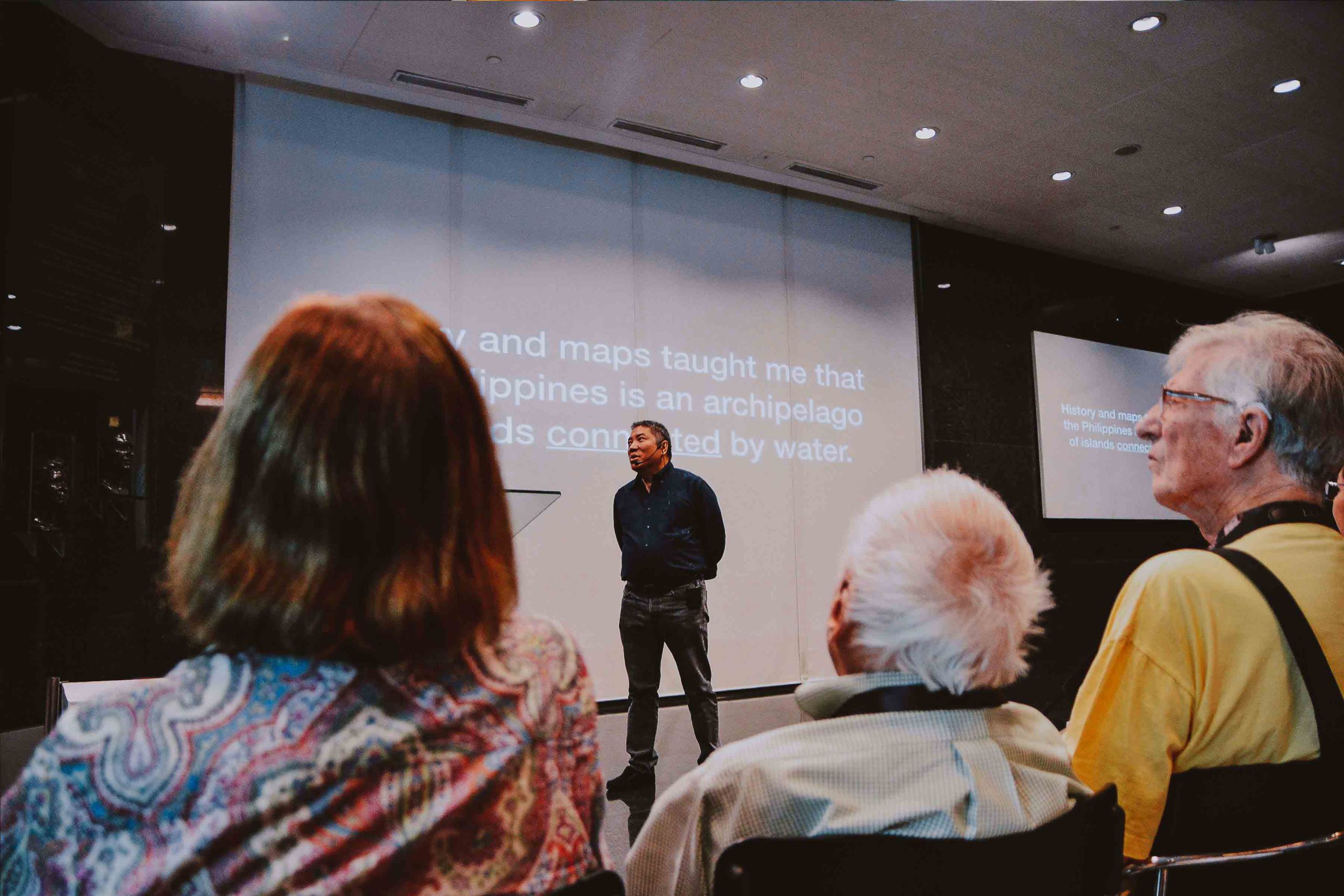
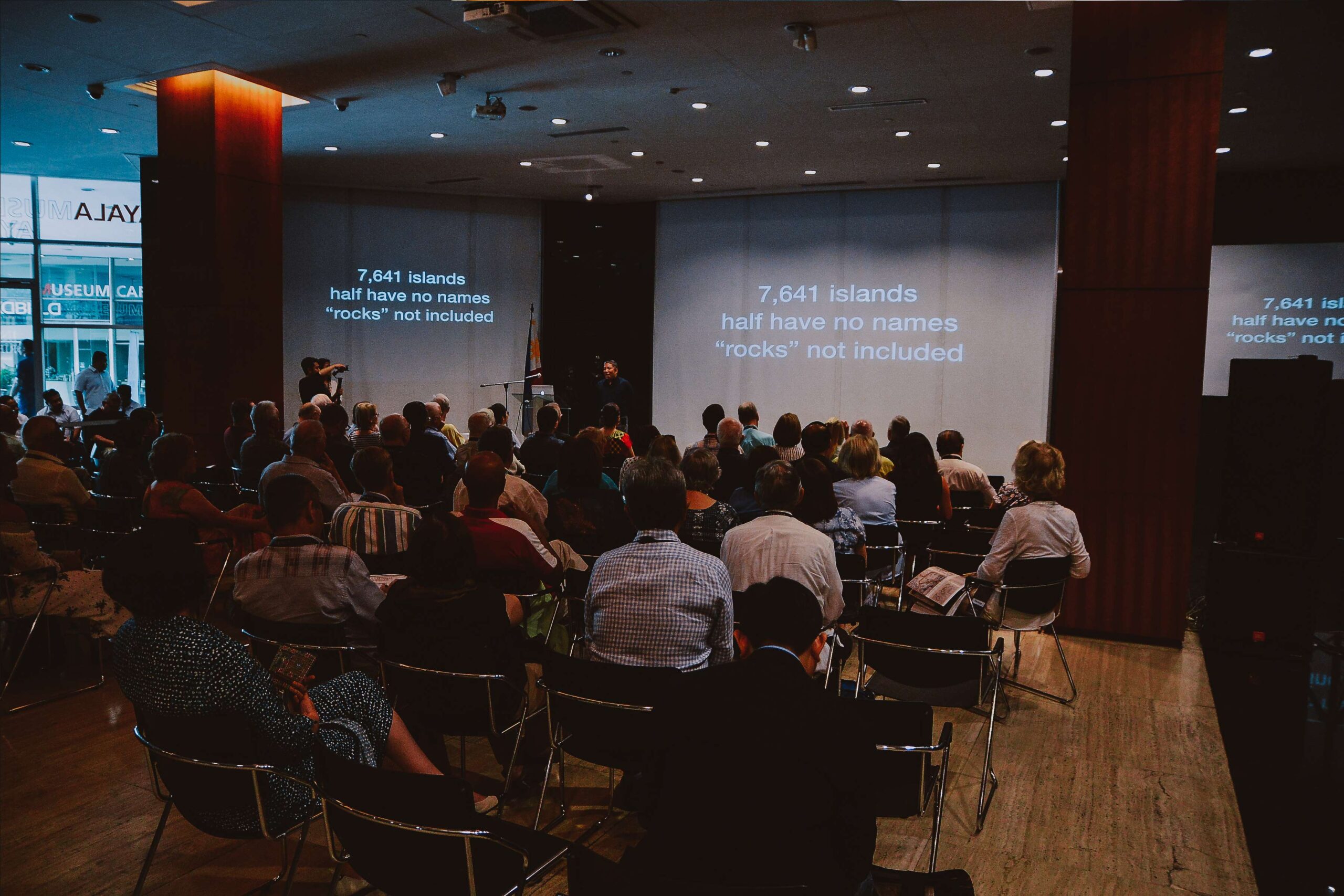
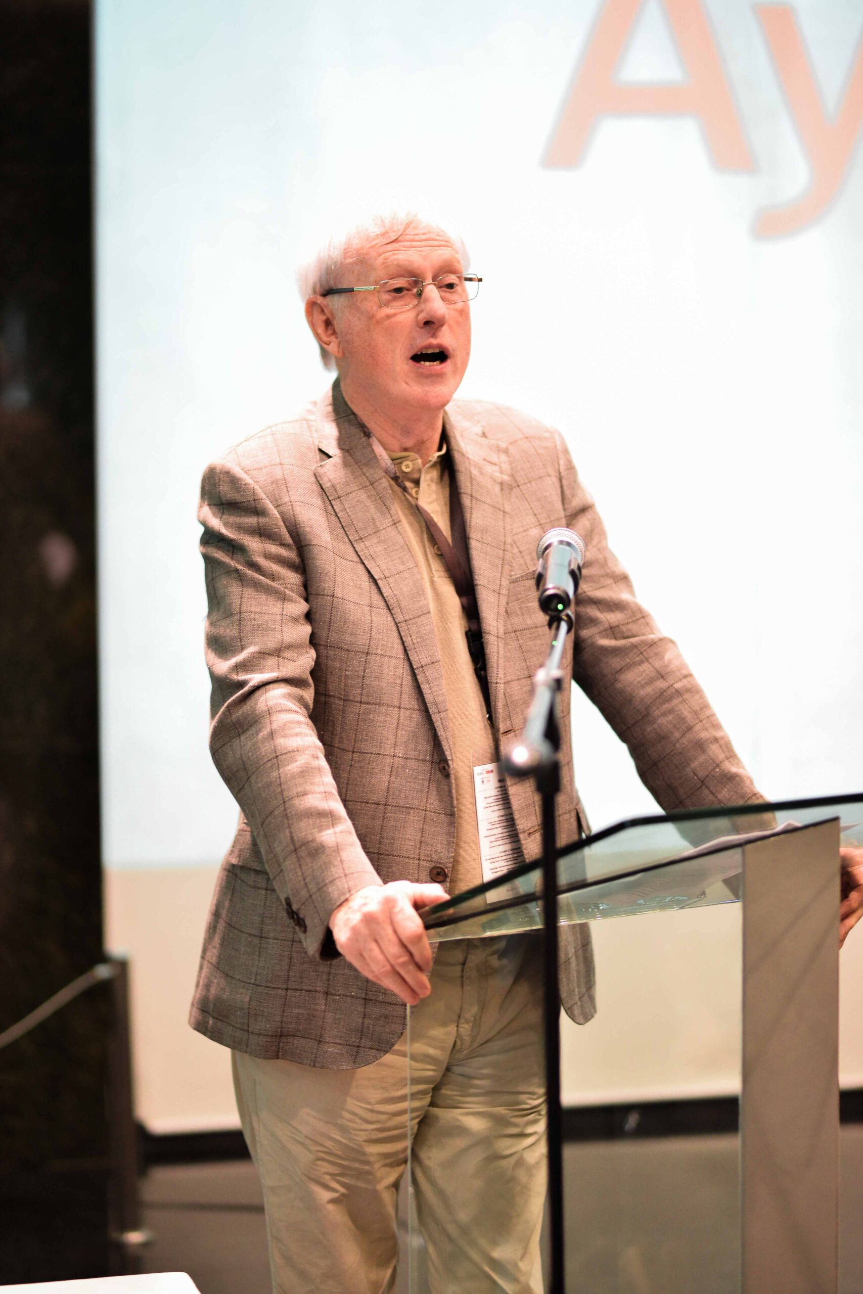
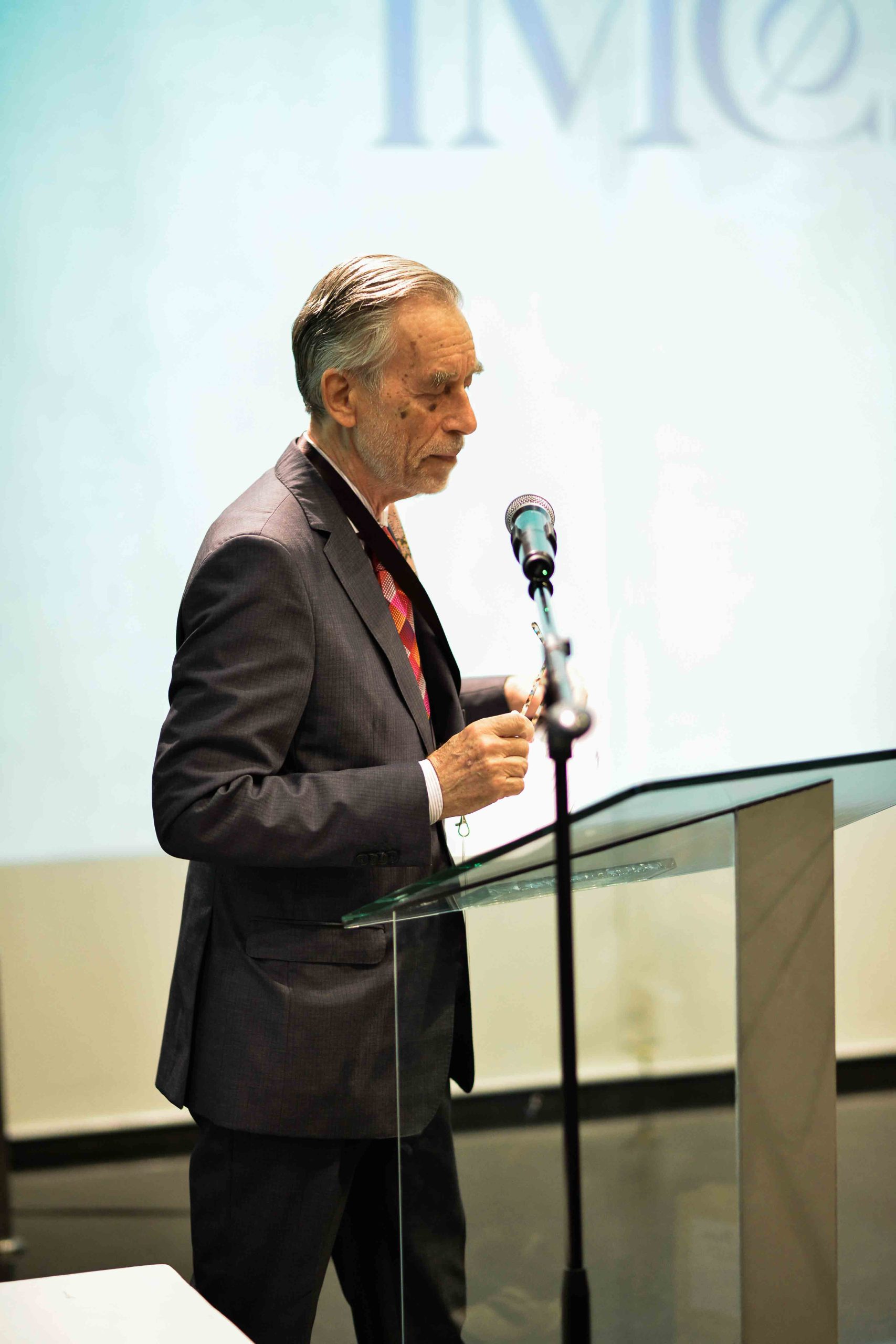
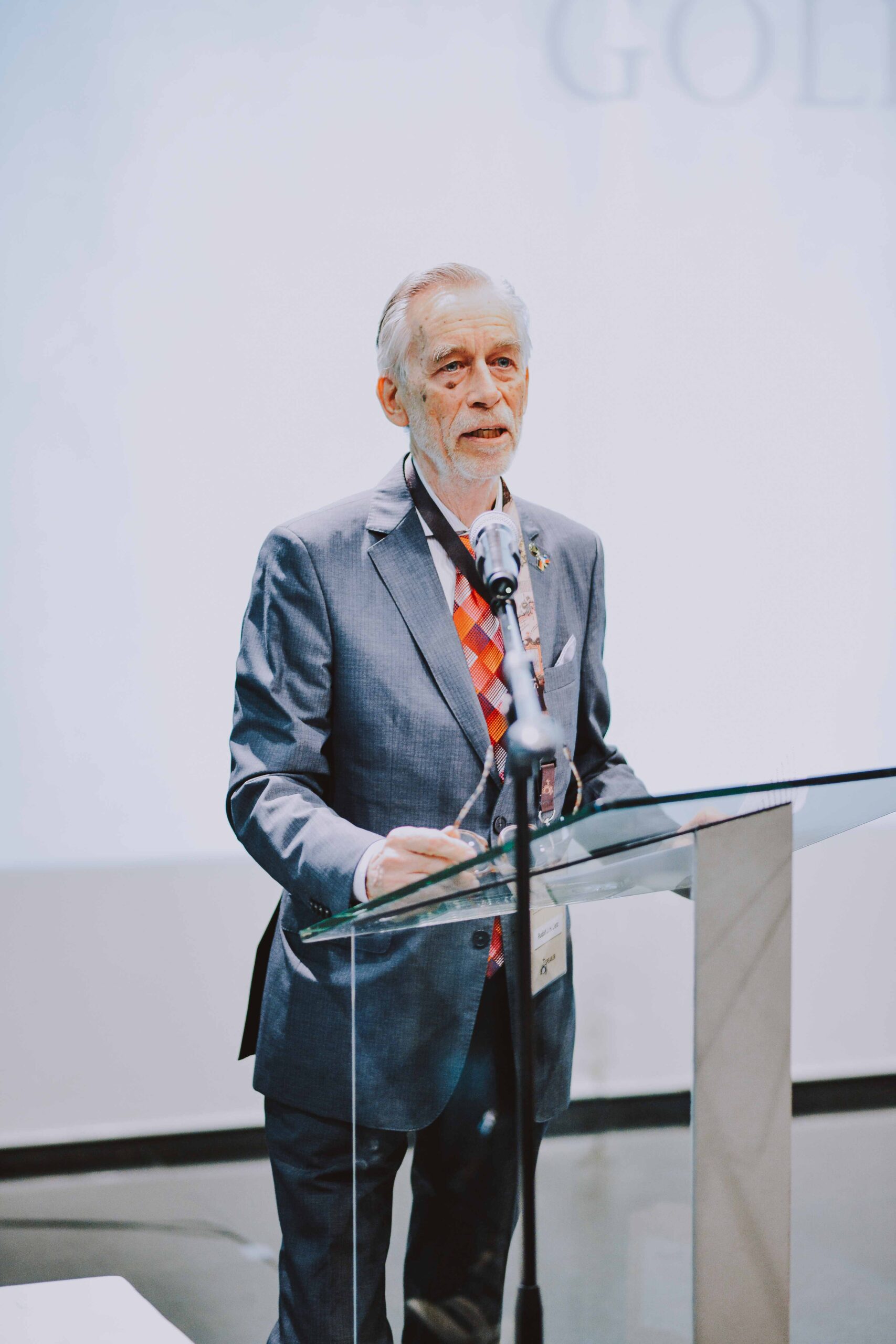
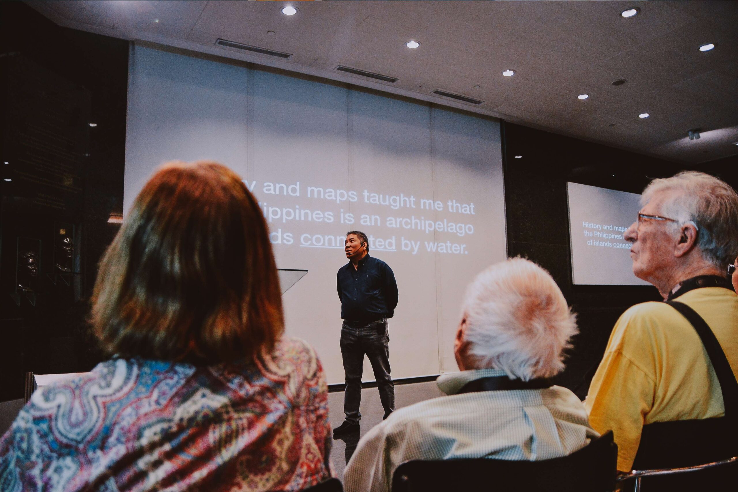
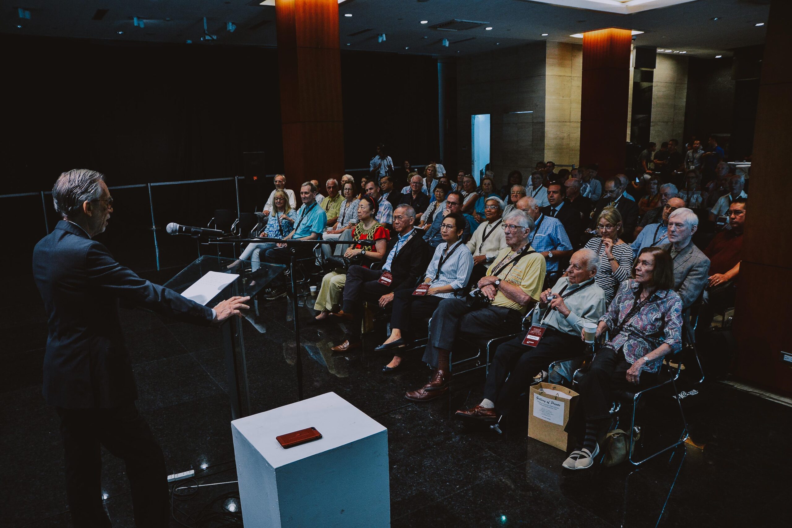
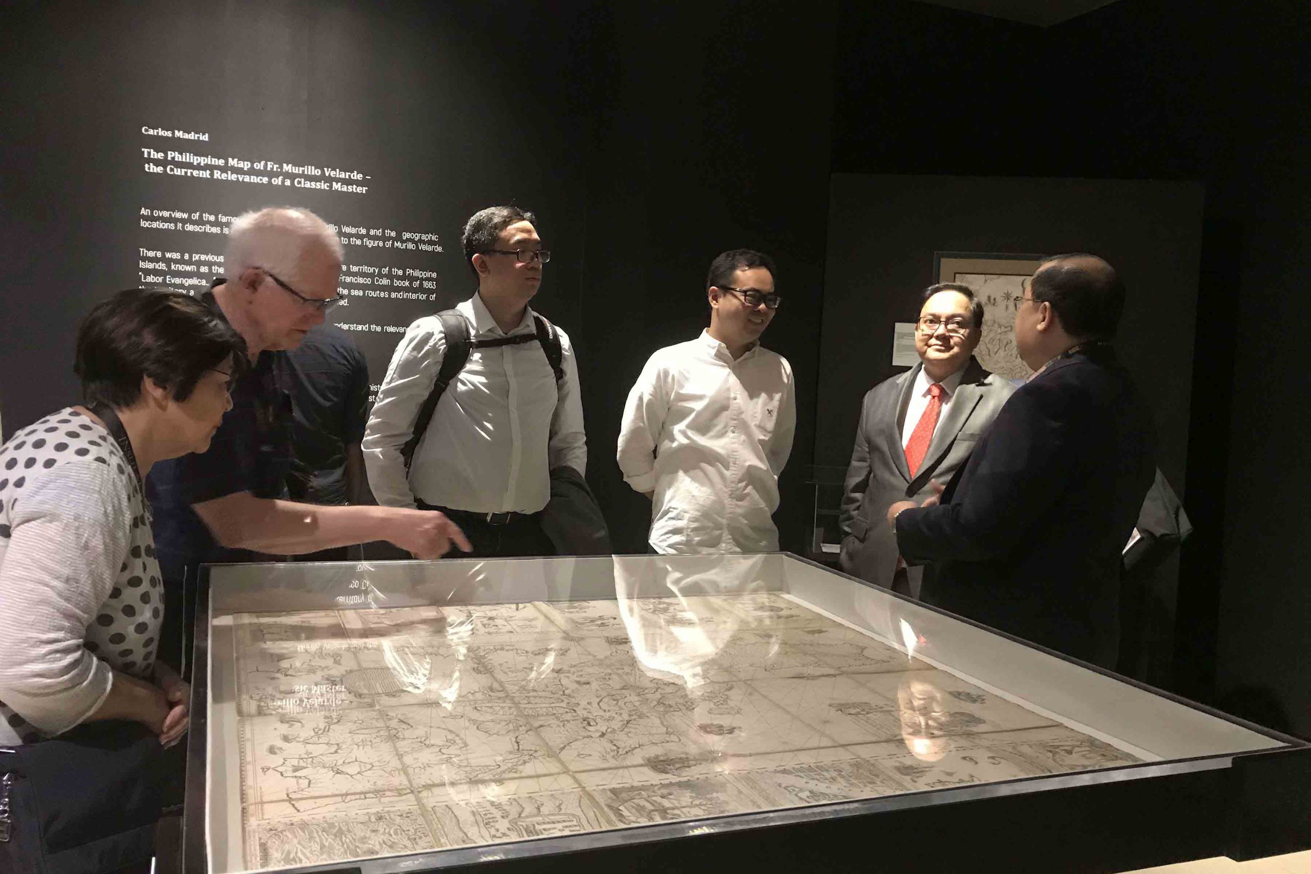
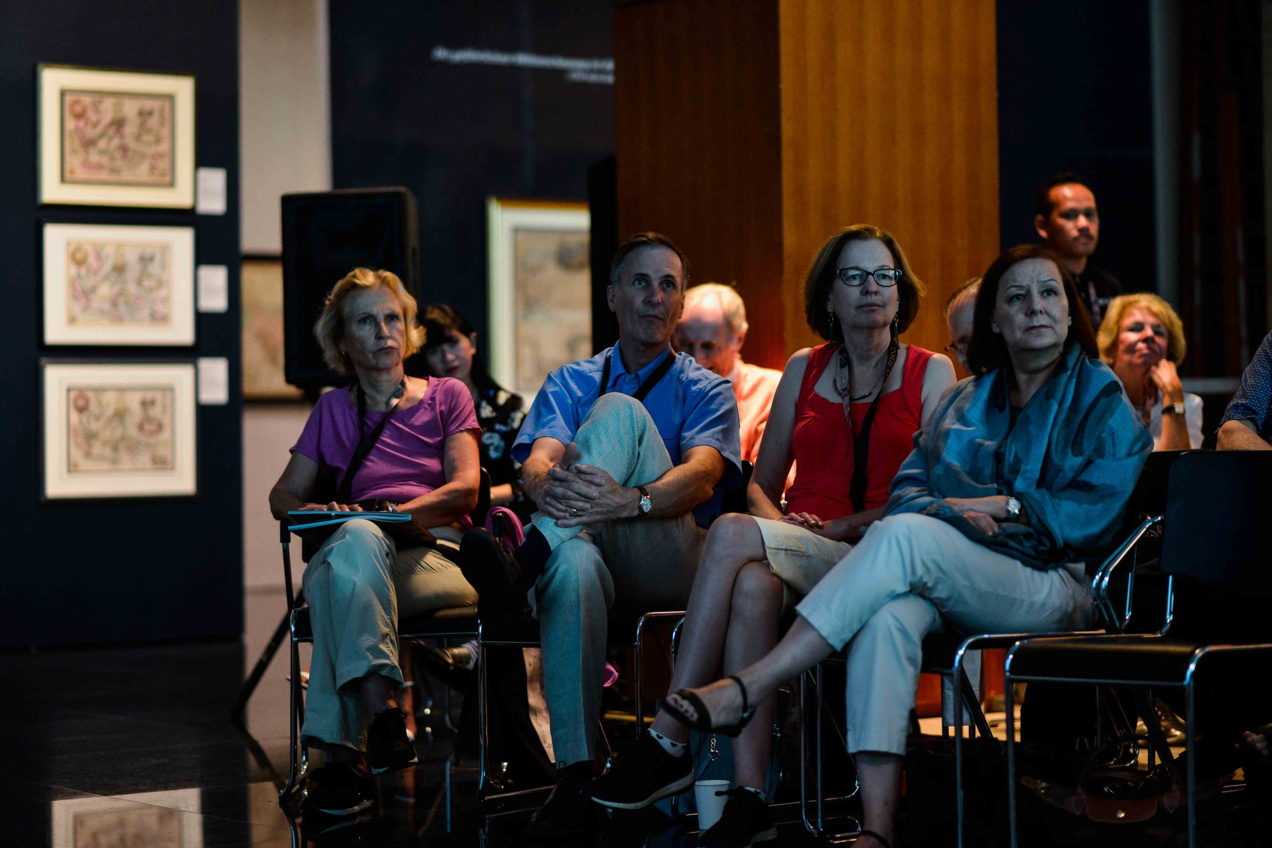
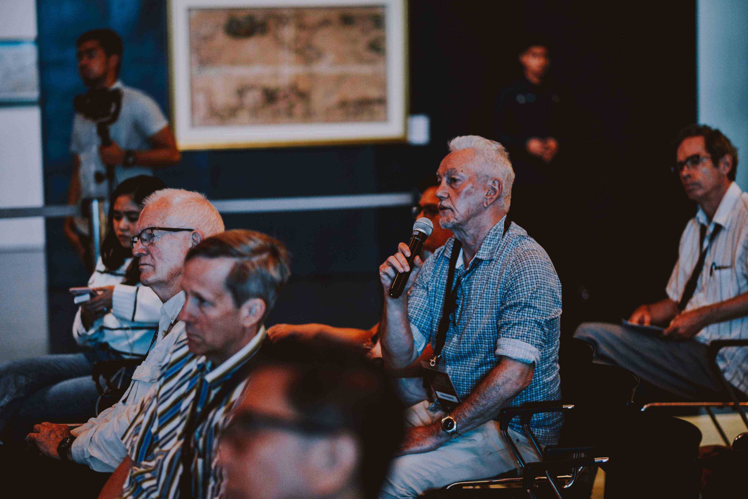
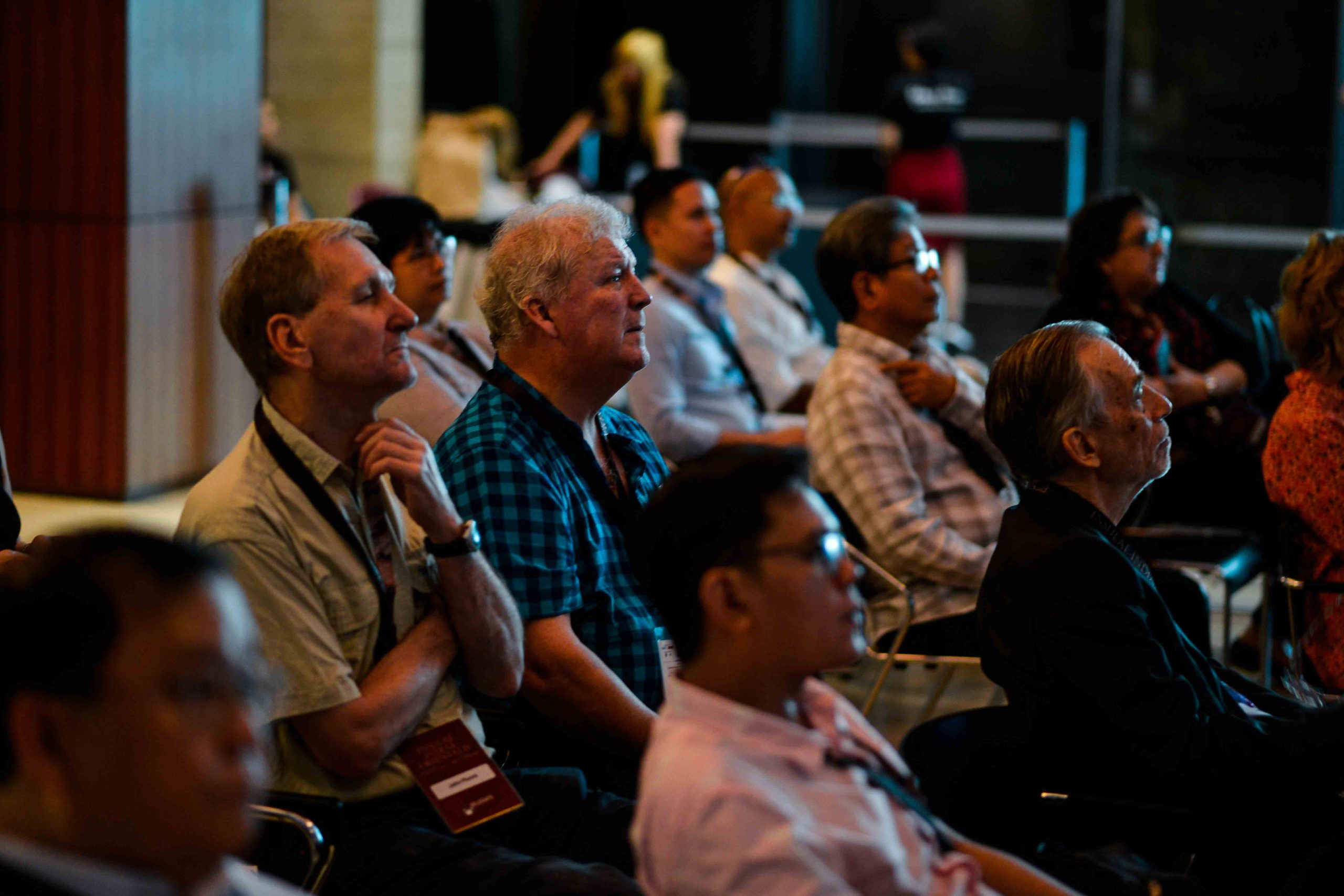
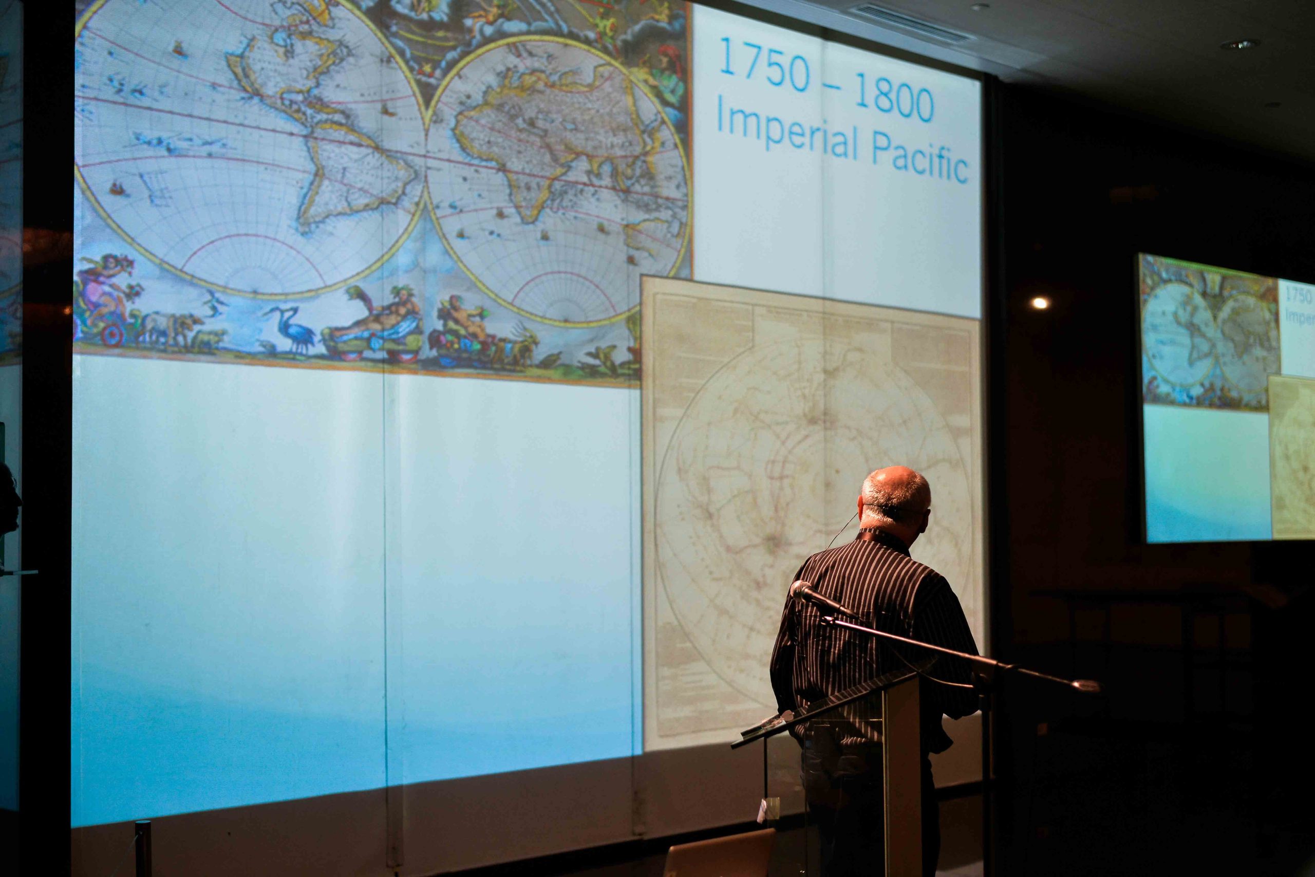
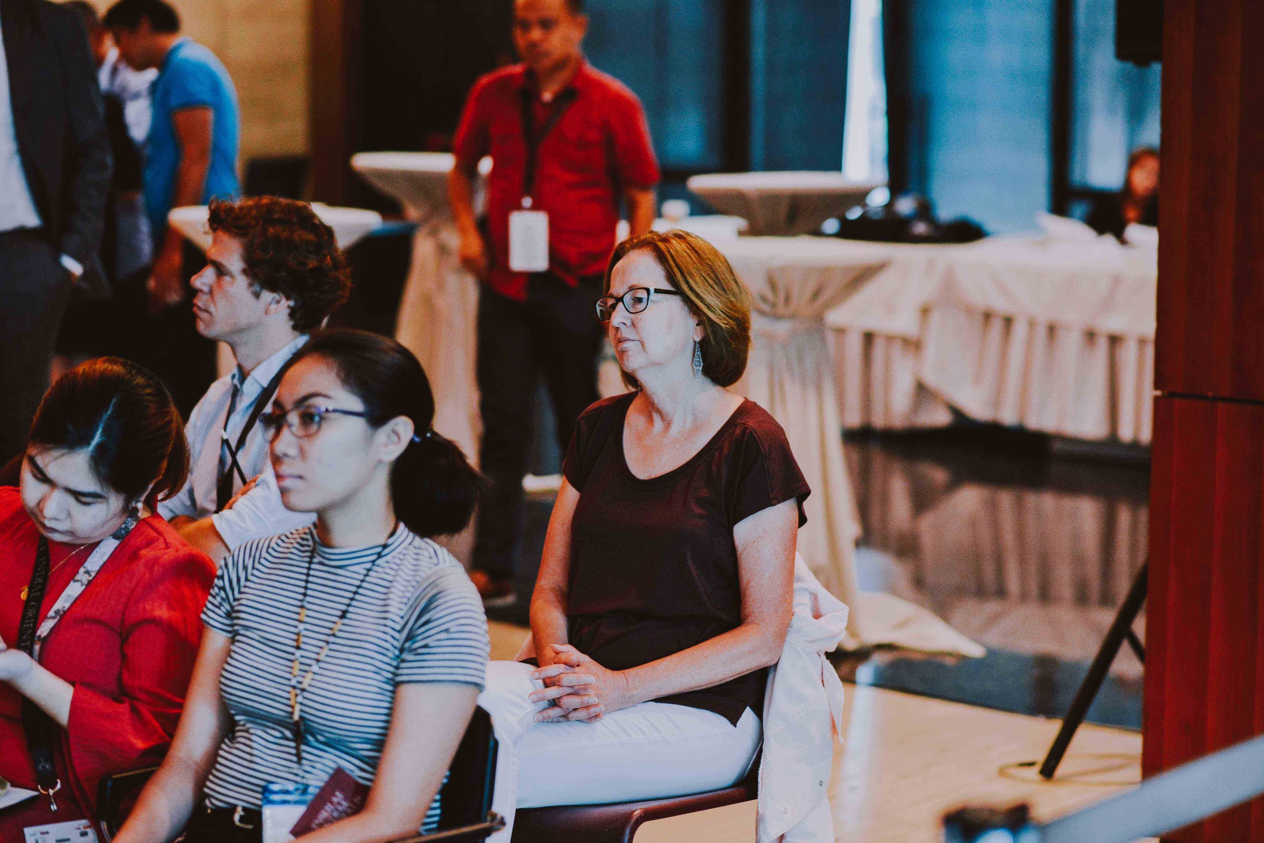
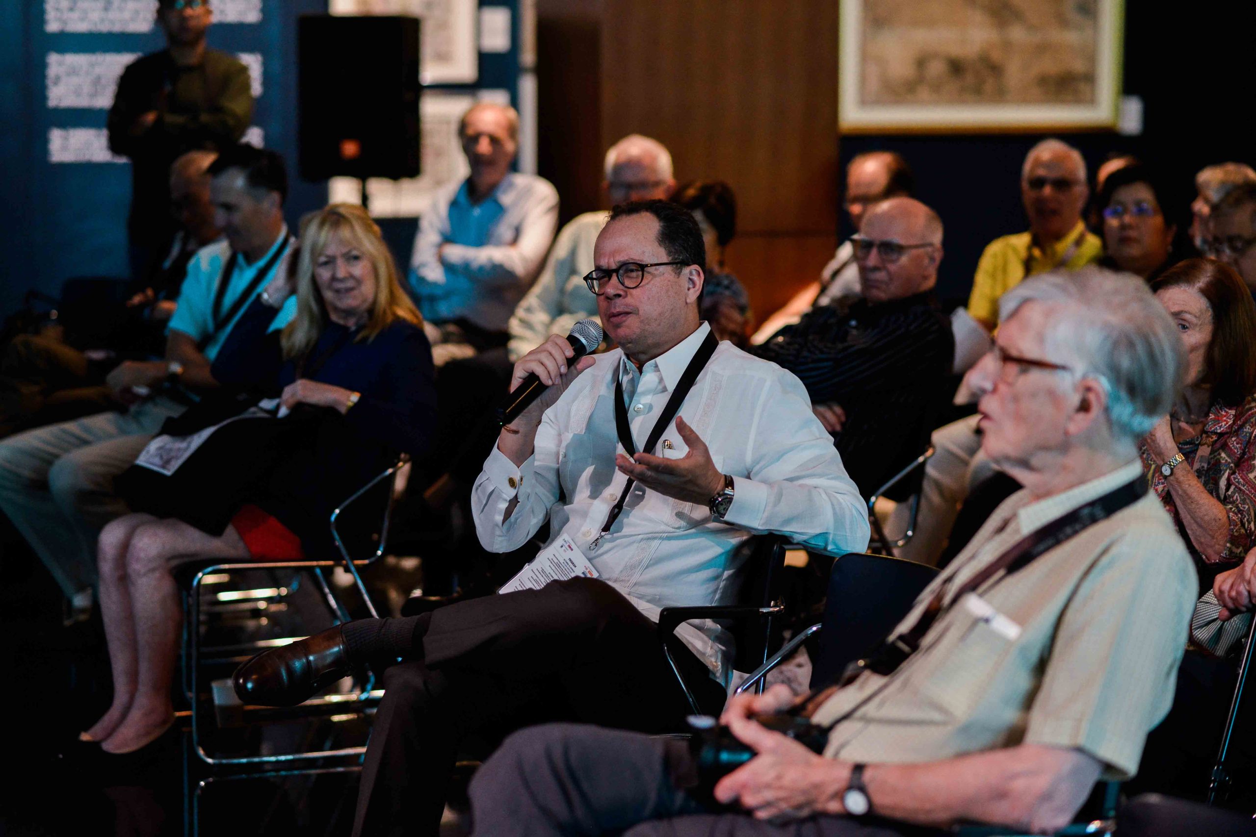
The 36th IMCoS Symposium in Manila officially commenced on the morning of 14 October 2018 at the Ayala Museum, where participants from around the world gathered to celebrate the rich history and enduring significance of cartography. The day began with a series of welcome addresses delivered by representatives of the Ayala Museum, IMCoS, PHIMCOS, and the host organization, Gallery of Prints. Their messages set the tone for the symposium, highlighting the importance of maps as both historical records and cultural treasures, while warmly welcoming delegates to Manila. The academic program opened with a compelling lecture by Dr. Ambeth R. Ocampo, who explored how maps contributed to the emergence of the Filipino nation. Through historical narratives and cartographic evidence, he demonstrated how geographic representations helped shape national identity and collective memory. The morning continued with Dr. Carlos Madrid, who examined the celebrated Philippine map of Fr. Pedro Murillo Velarde, discussing its historical significance and its continuing relevance in understanding the country's heritage and territorial history. Participants gained fresh insights into one of the most iconic maps ever produced of the Philippine archipelago. Following a coffee and tea break, the audience reconvened for a thought-provoking presentation by Justice Antonio T. Carpio. Drawing upon ancient maps and historical records, he discussed their role in the contemporary South China Sea dispute, illustrating how centuries-old cartographic evidence continues to influence modern geopolitical discussions.
Special exhibition “INSULAE INDIAE ORIENTALIS”
Ayala Museum, Makati City
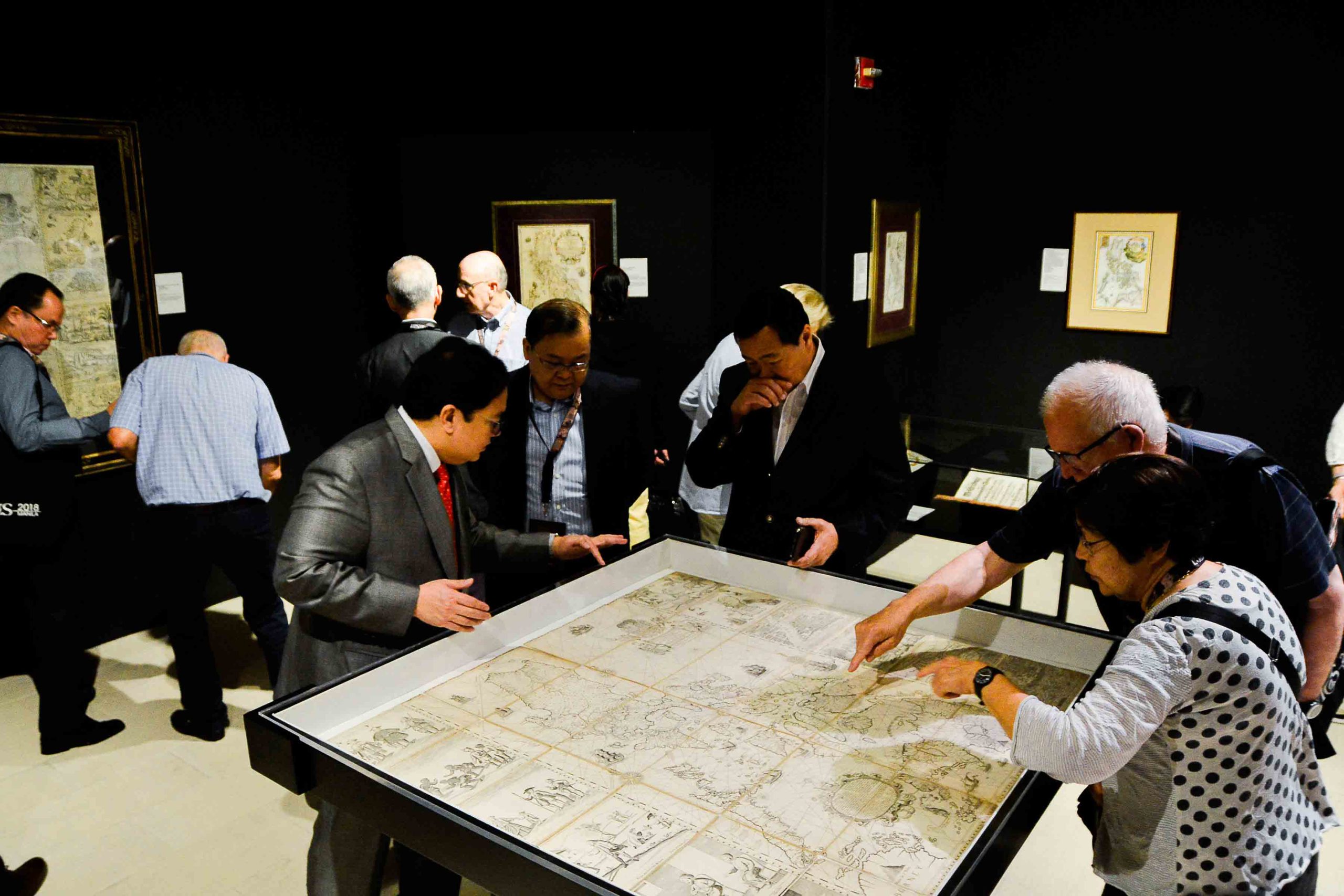
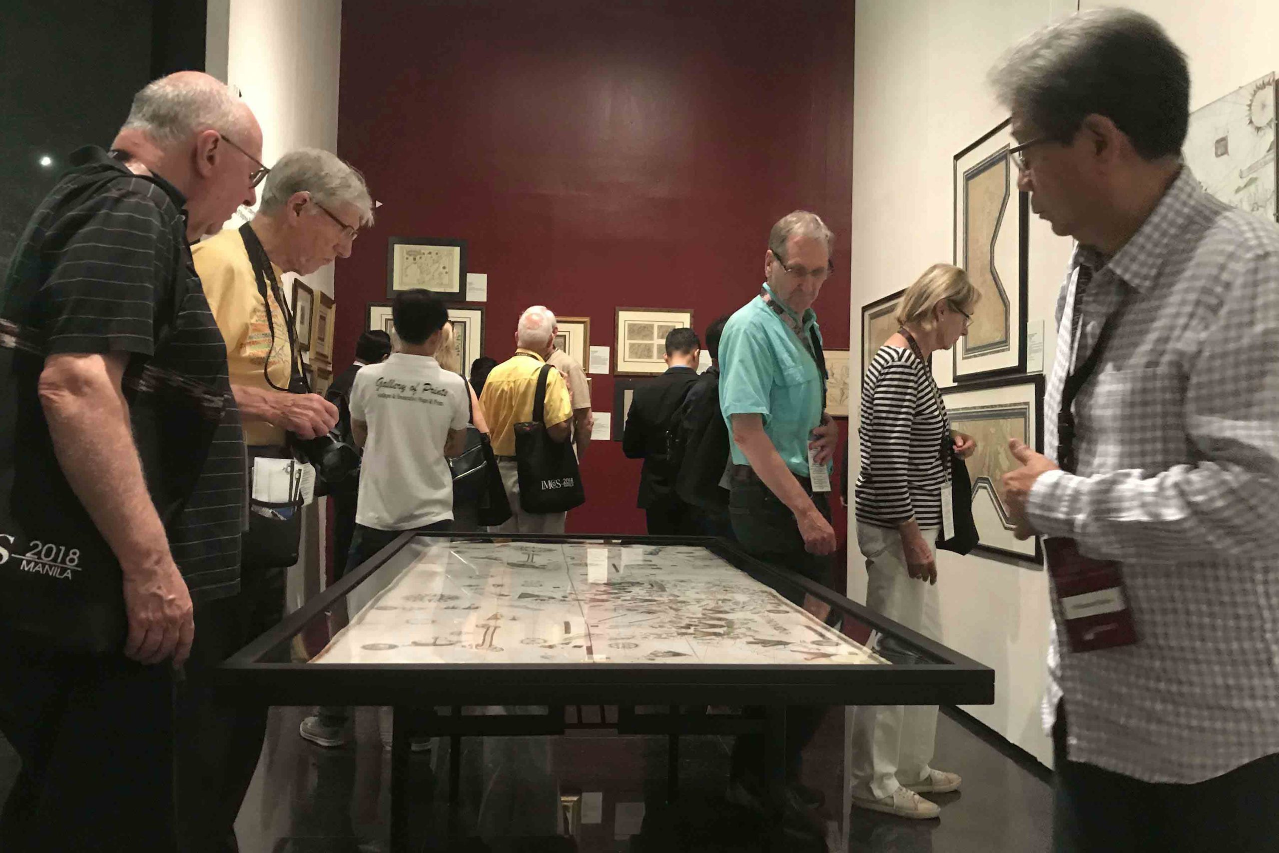
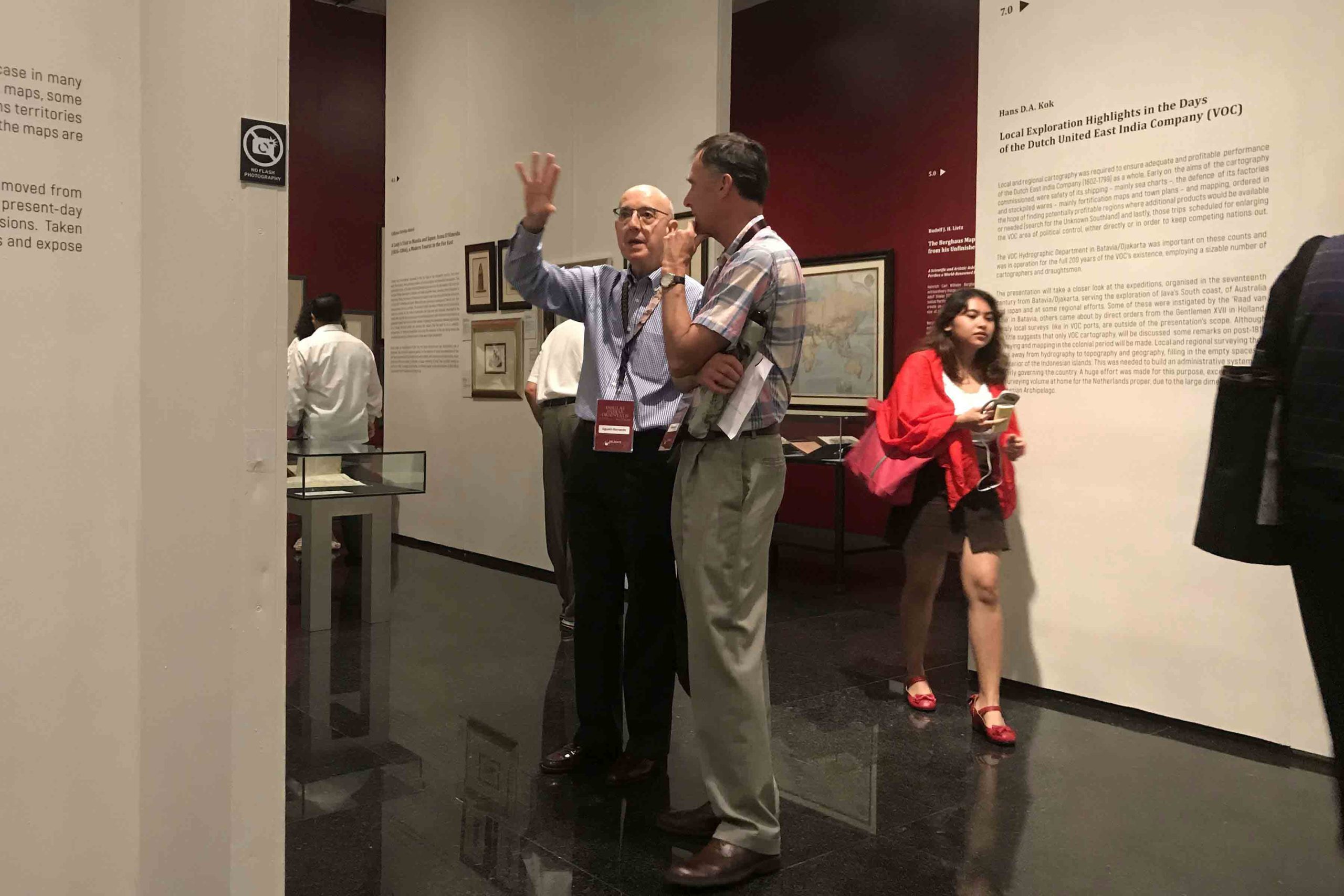
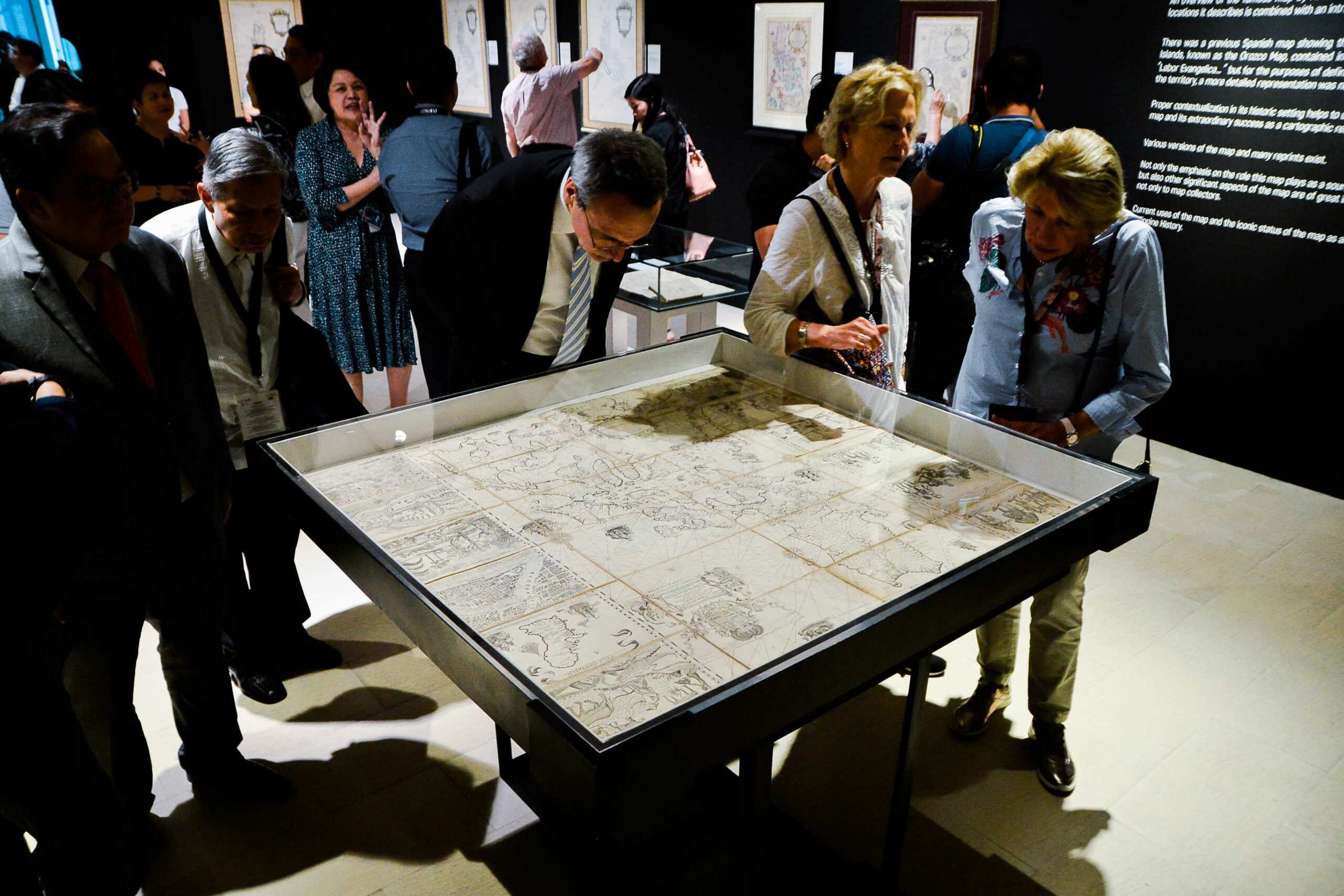
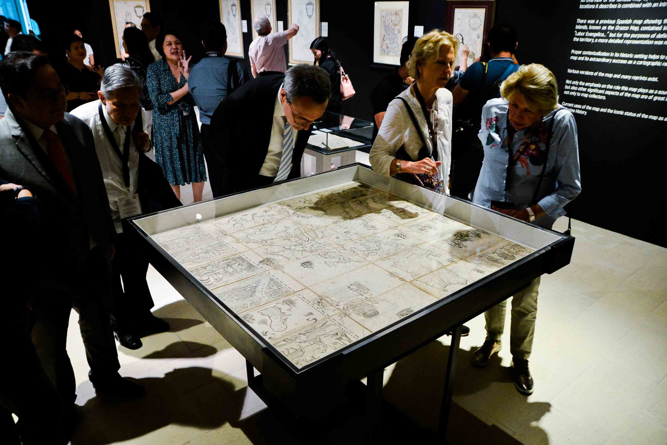
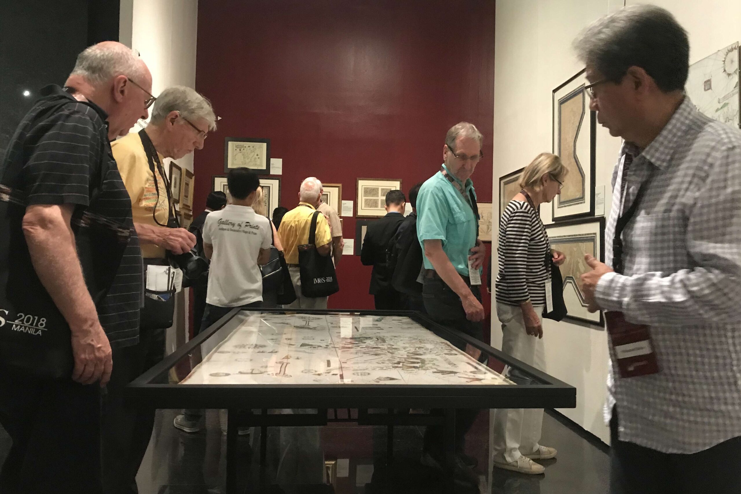
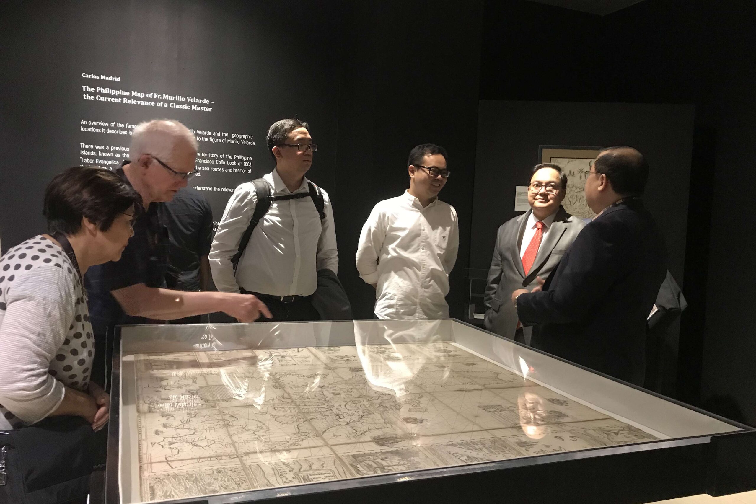
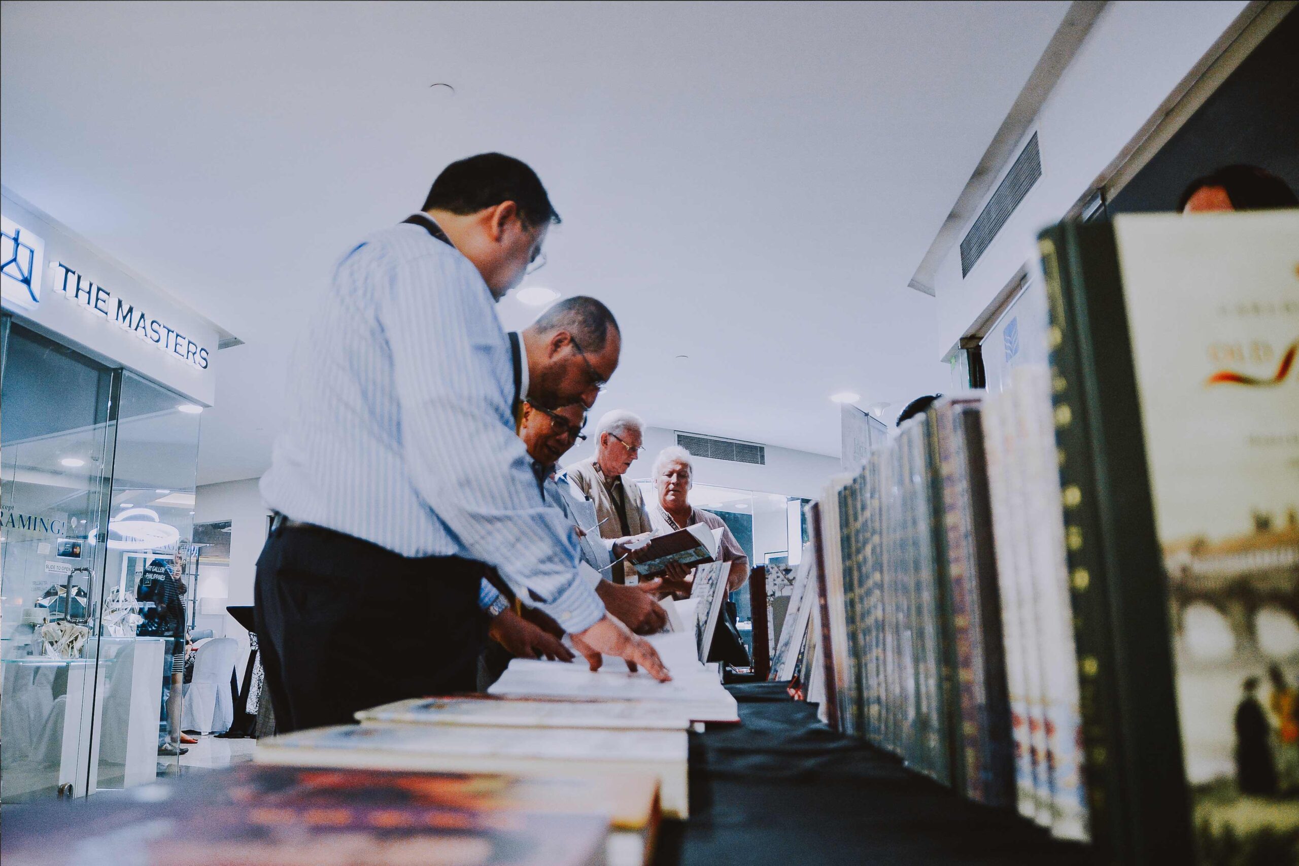
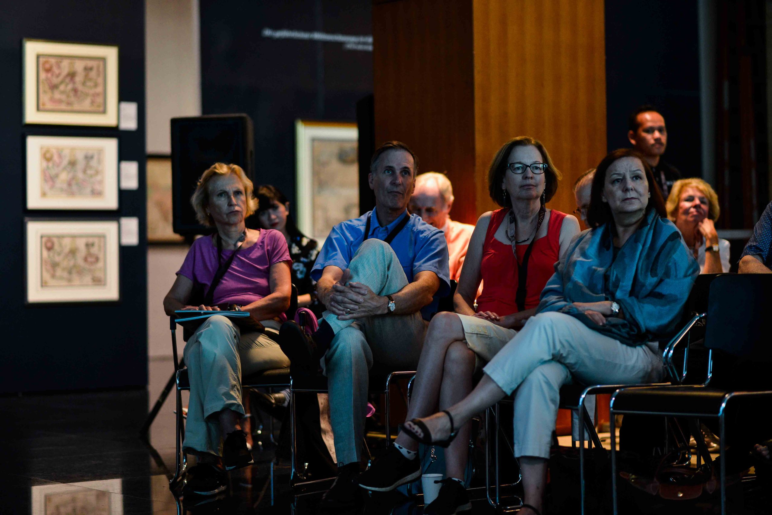
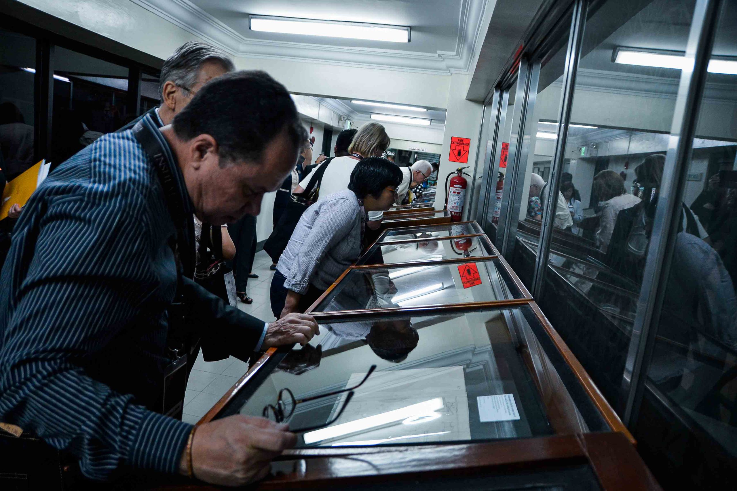
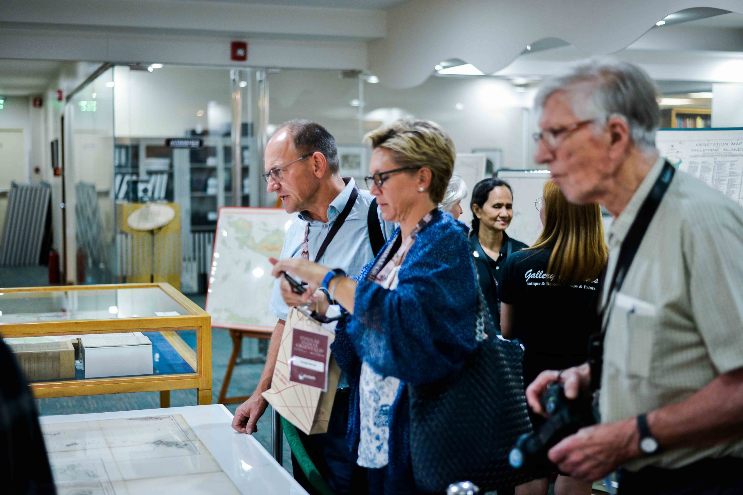
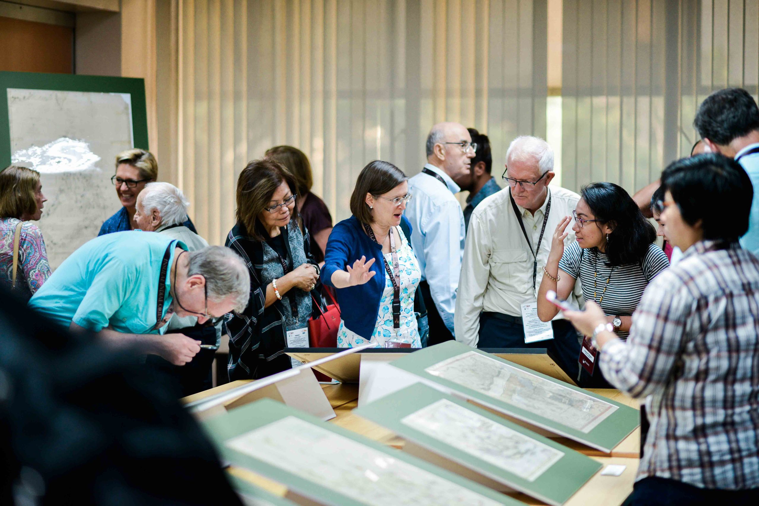
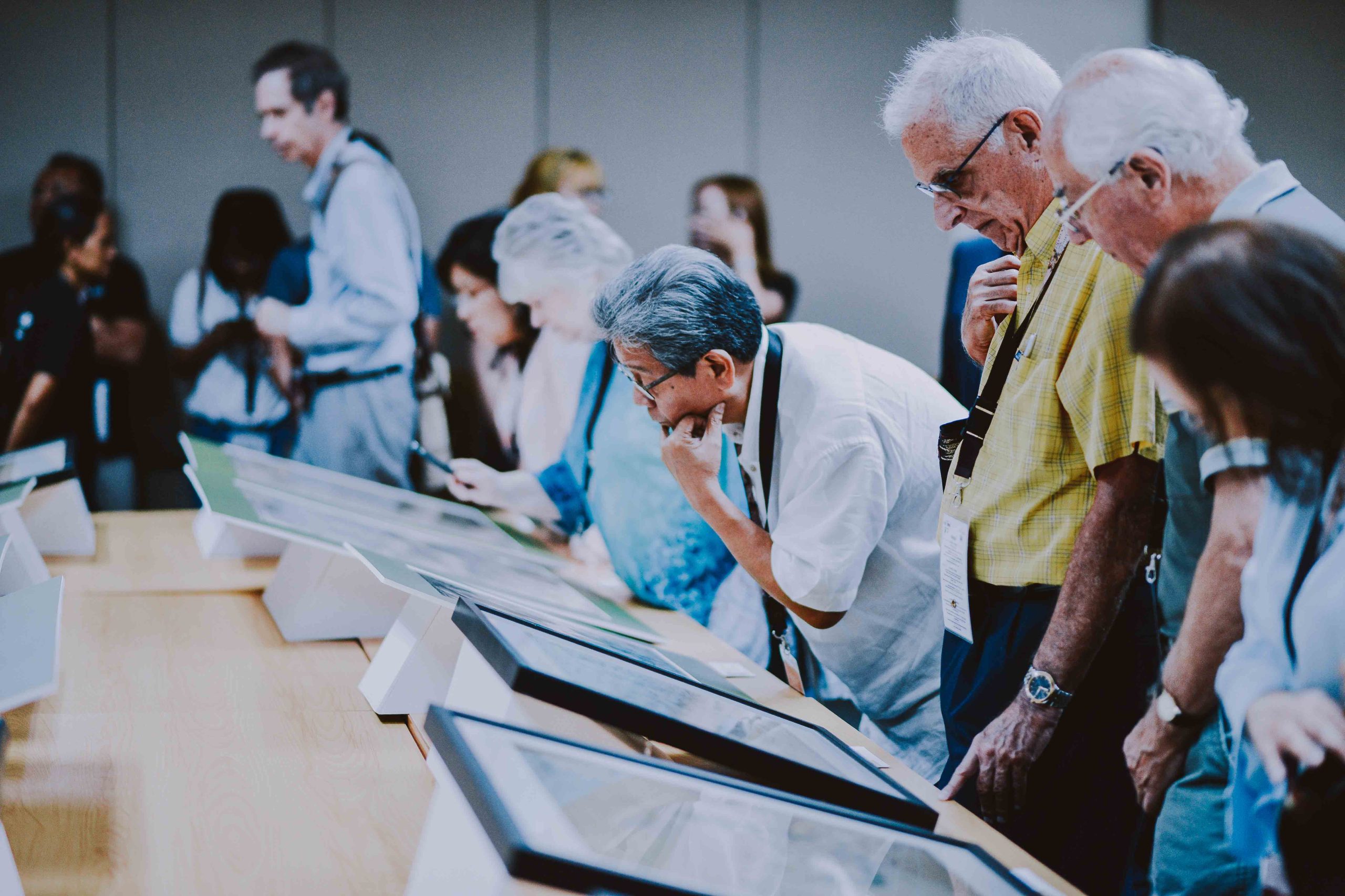
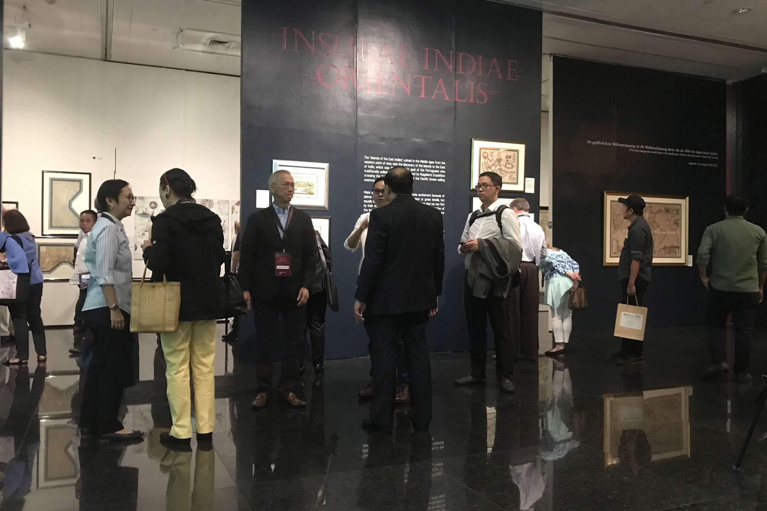
In the afternoon, participants visited the special exhibition “INSULAE INDIAE ORIENTALIS”, an extraordinary display of original antique maps, prints, and rare books. The exhibition offered a unique opportunity to view many of the remarkable works discussed during the lectures, bringing history to life through carefully curated artifacts and detailed exhibition notes.
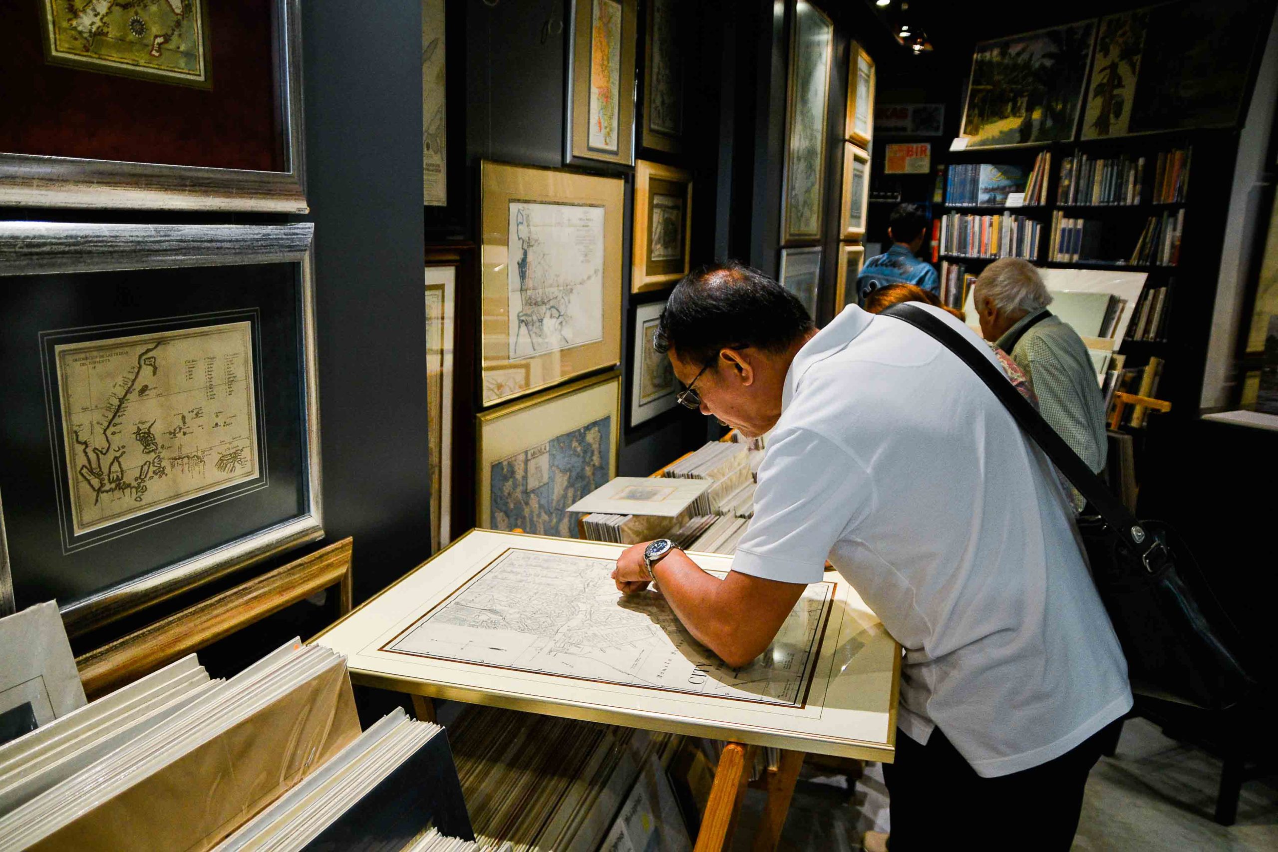
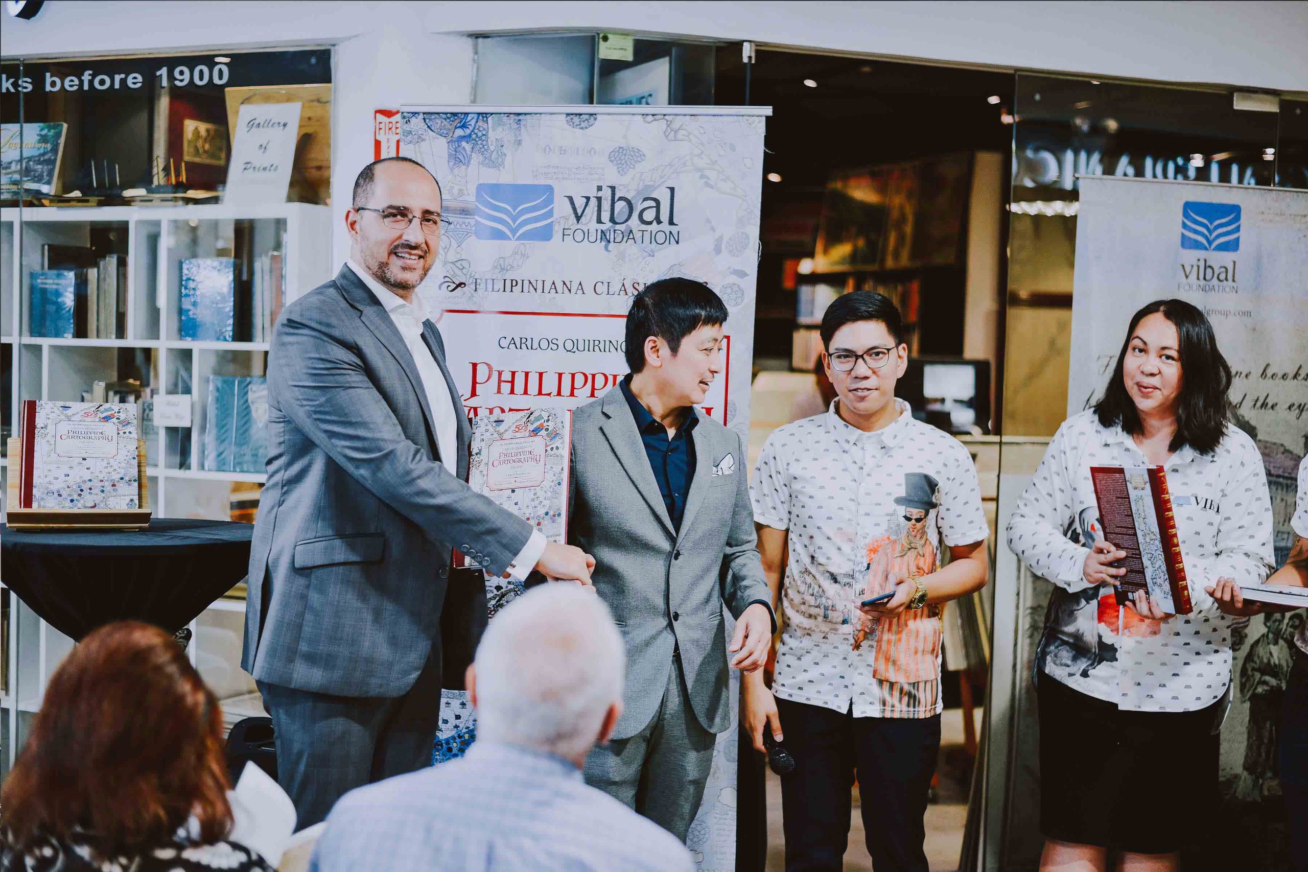
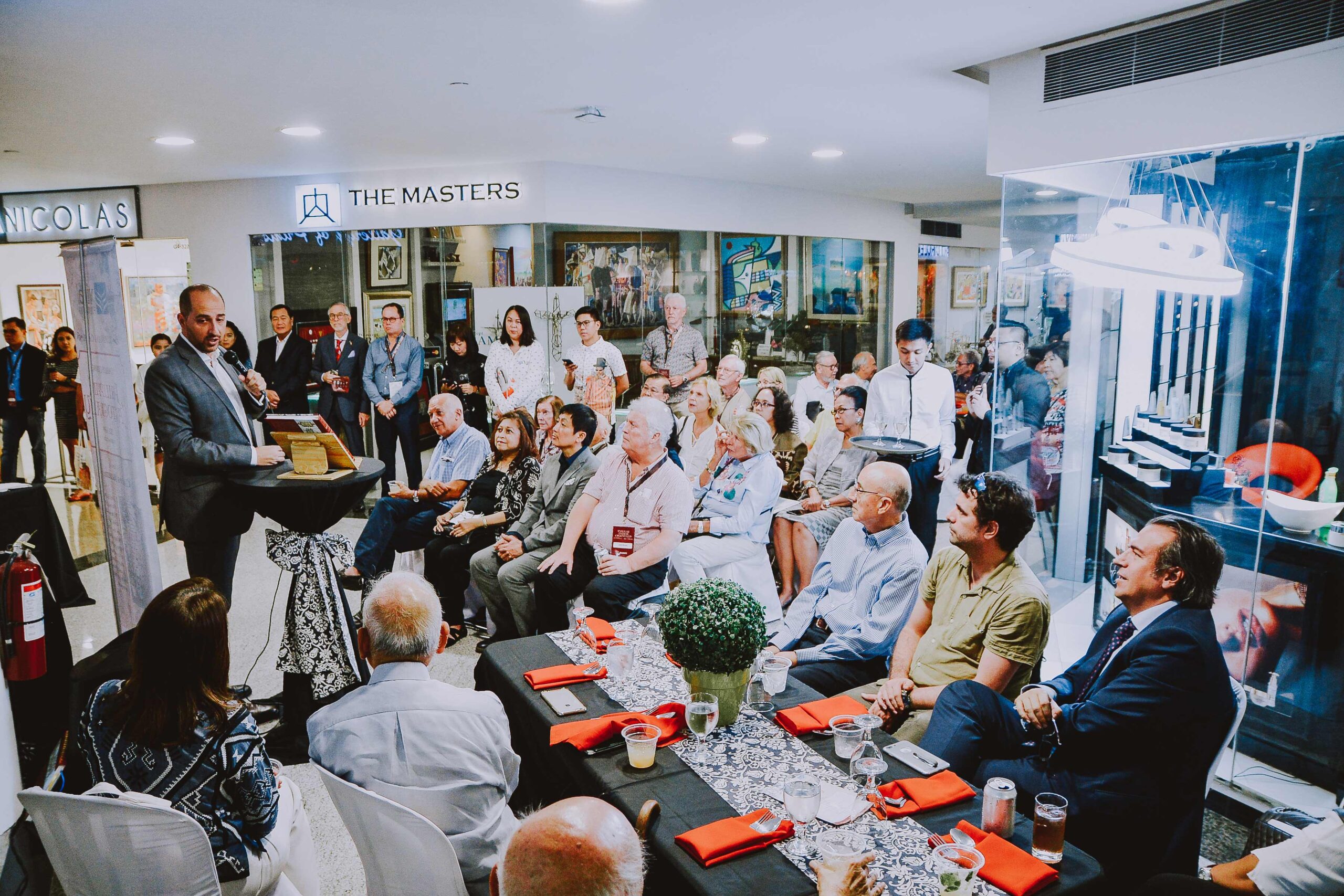
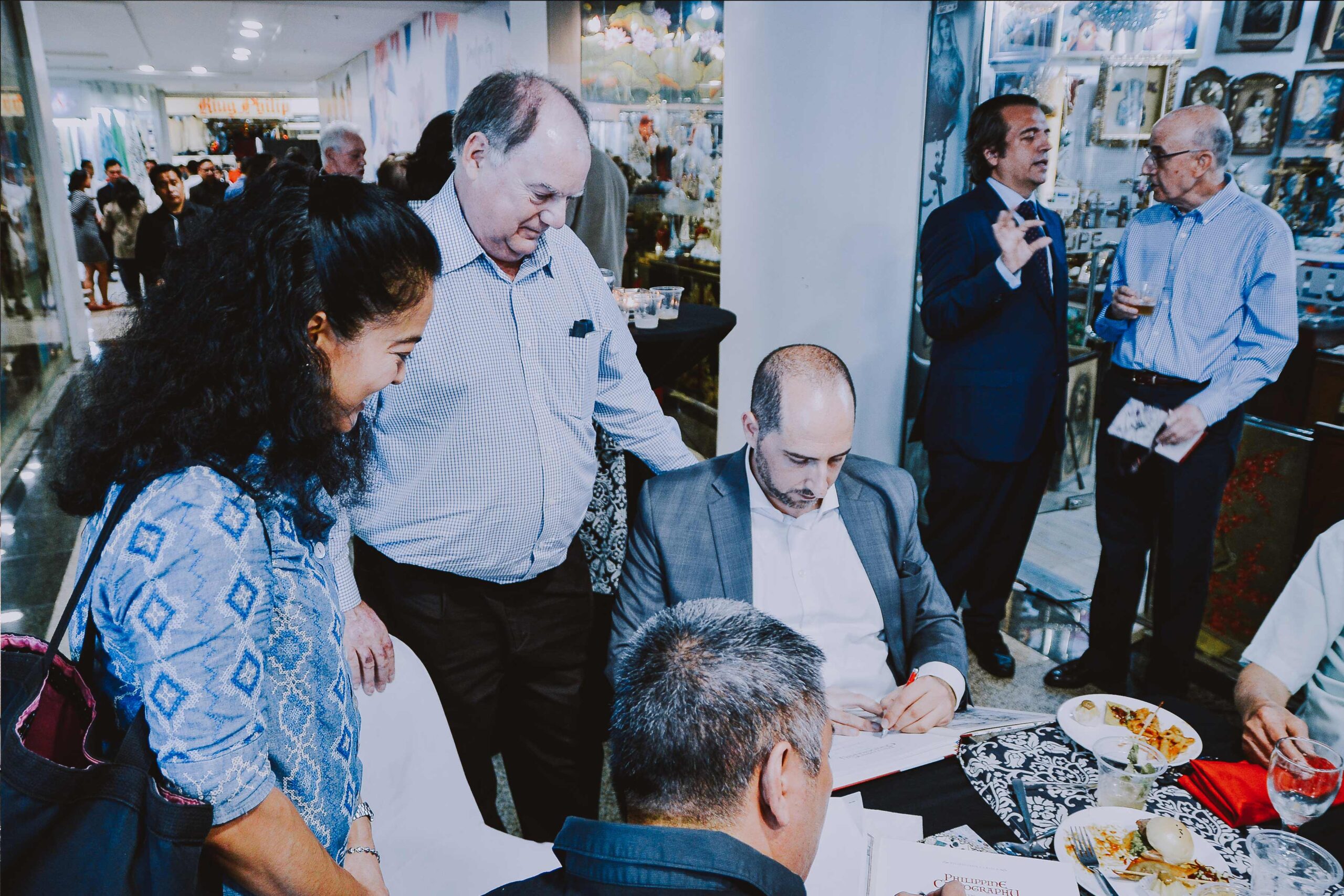
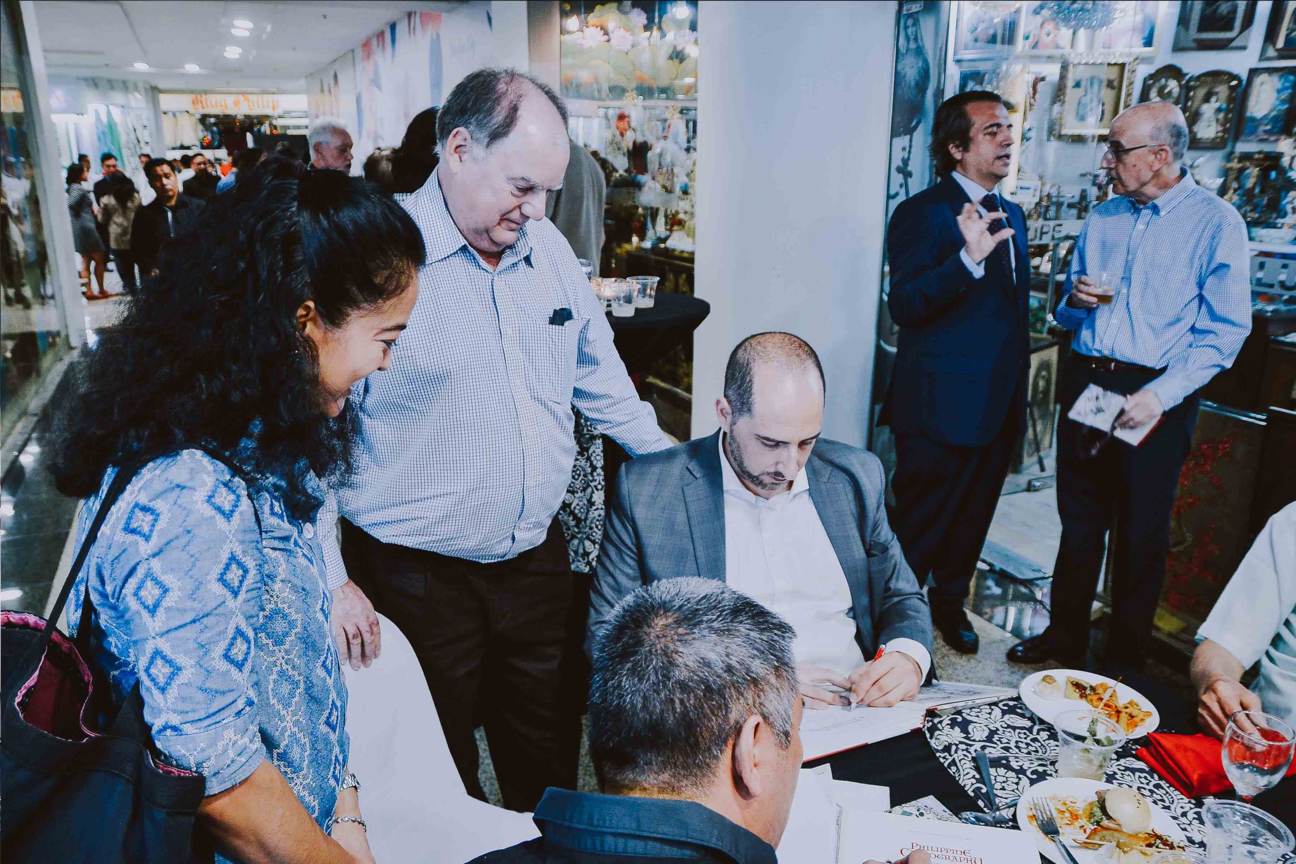
Evening Reception at the Gallery of Prints
3/F Glorietta 4, Artspace, Ayala Center, Makati City, Metro Manila
The 36th IMCoS Symposium in Manila officially commenced on the morning of 14 October 2018 at the Ayala Museum, where participants from around the world gathered to celebrate the rich history and enduring significance of cartography. The day began with a series of welcome addresses delivered by representatives of the Ayala Museum, IMCoS, PHIMCOS, and the host organization, Gallery of Prints. Their messages set the tone for the symposium, highlighting the importance of maps as both historical records and cultural treasures, while warmly welcoming delegates to Manila. The academic program opened with a compelling lecture by Dr. Ambeth R. Ocampo, who explored how maps contributed to the emergence of the Filipino nation. Through historical narratives and cartographic evidence, he demonstrated how geographic representations helped shape national identity and collective memory. The morning continued with Dr. Carlos Madrid, who examined the celebrated Philippine map of Fr. Pedro Murillo Velarde, discussing its historical significance and its continuing relevance in understanding the country's heritage and territorial history. Participants gained fresh insights into one of the most iconic maps ever produced of the Philippine archipelago. Following a coffee and tea break, the audience reconvened for a thought-provoking presentation by Justice Antonio T. Carpio. Drawing upon ancient maps and historical records, he discussed their role in the contemporary South China Sea dispute, illustrating how centuries-old cartographic evidence continues to influence modern geopolitical discussions.
Day 2
Exploring Journeys, Trade, and Cartographic Treasures
Ayala Museum, Makati City
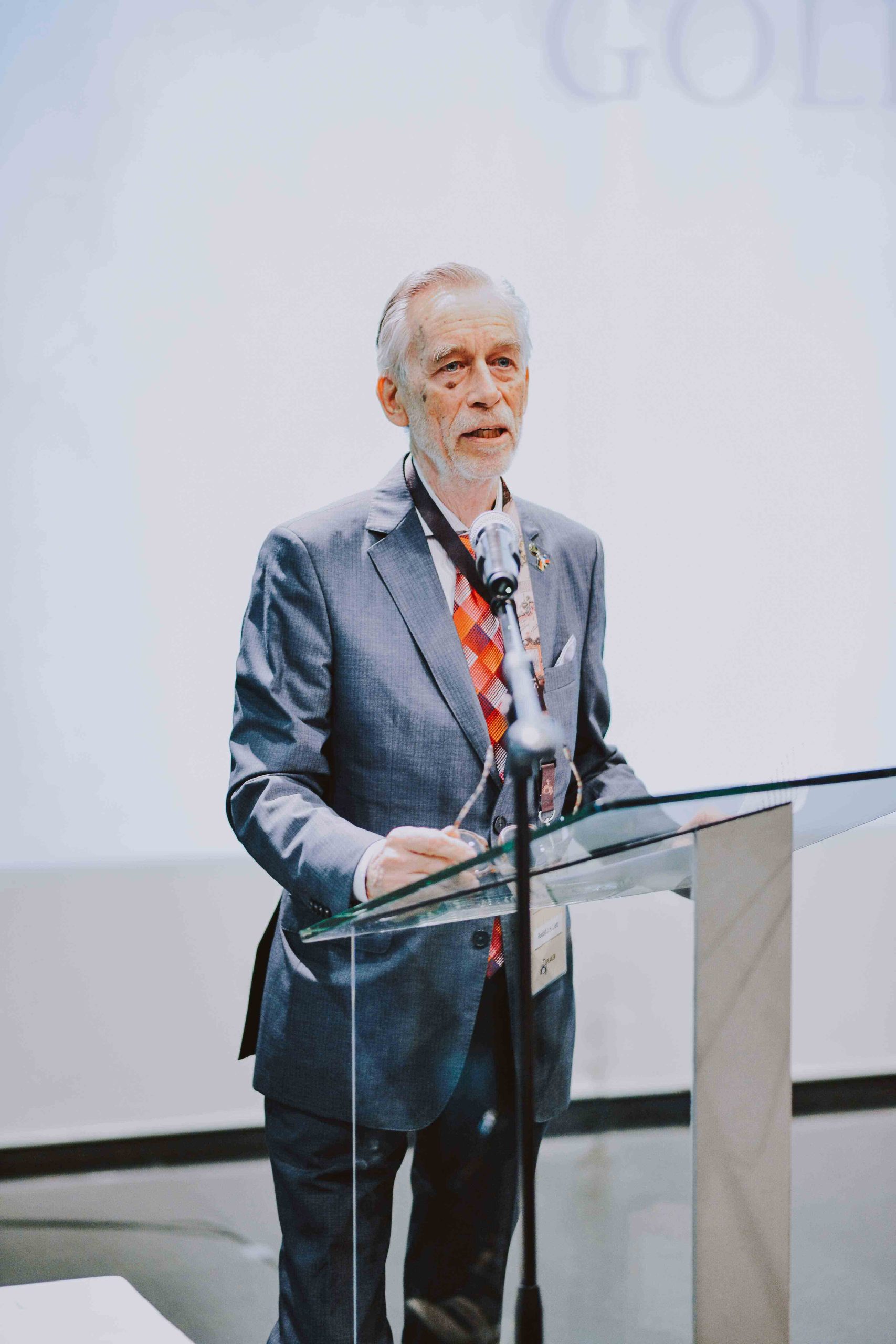
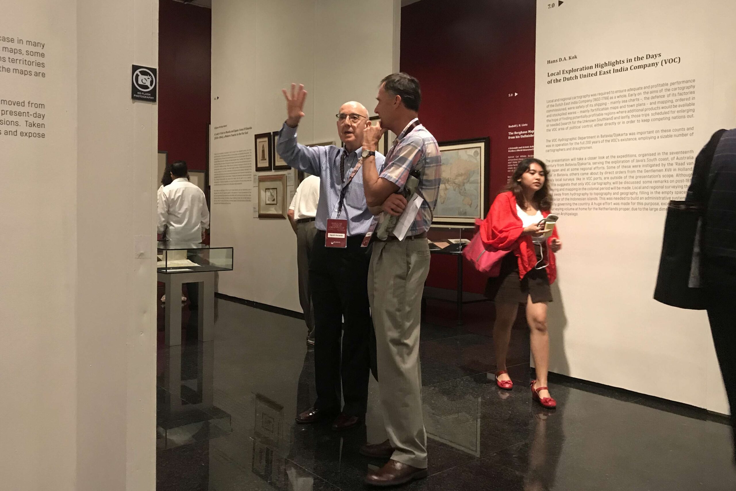
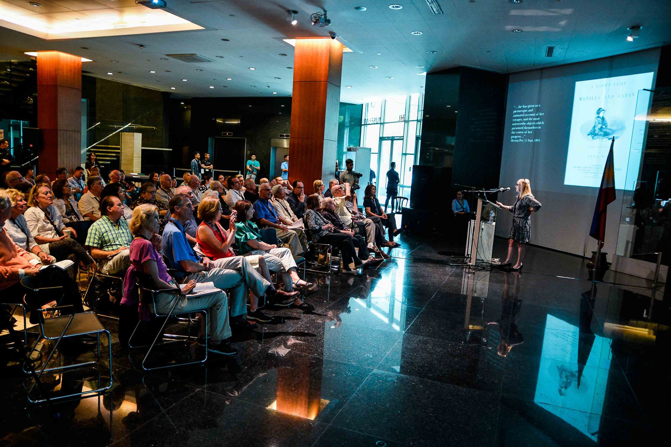
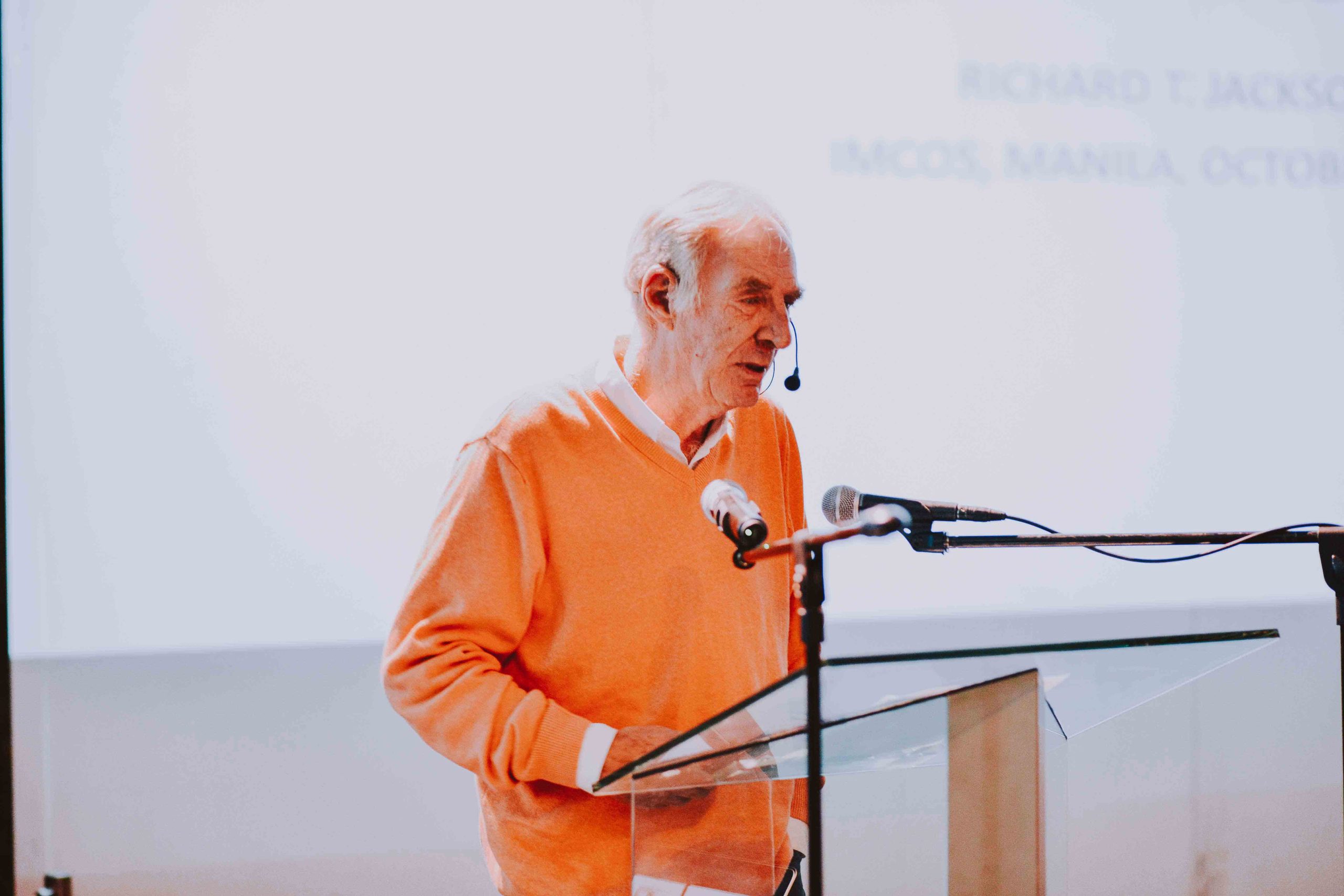
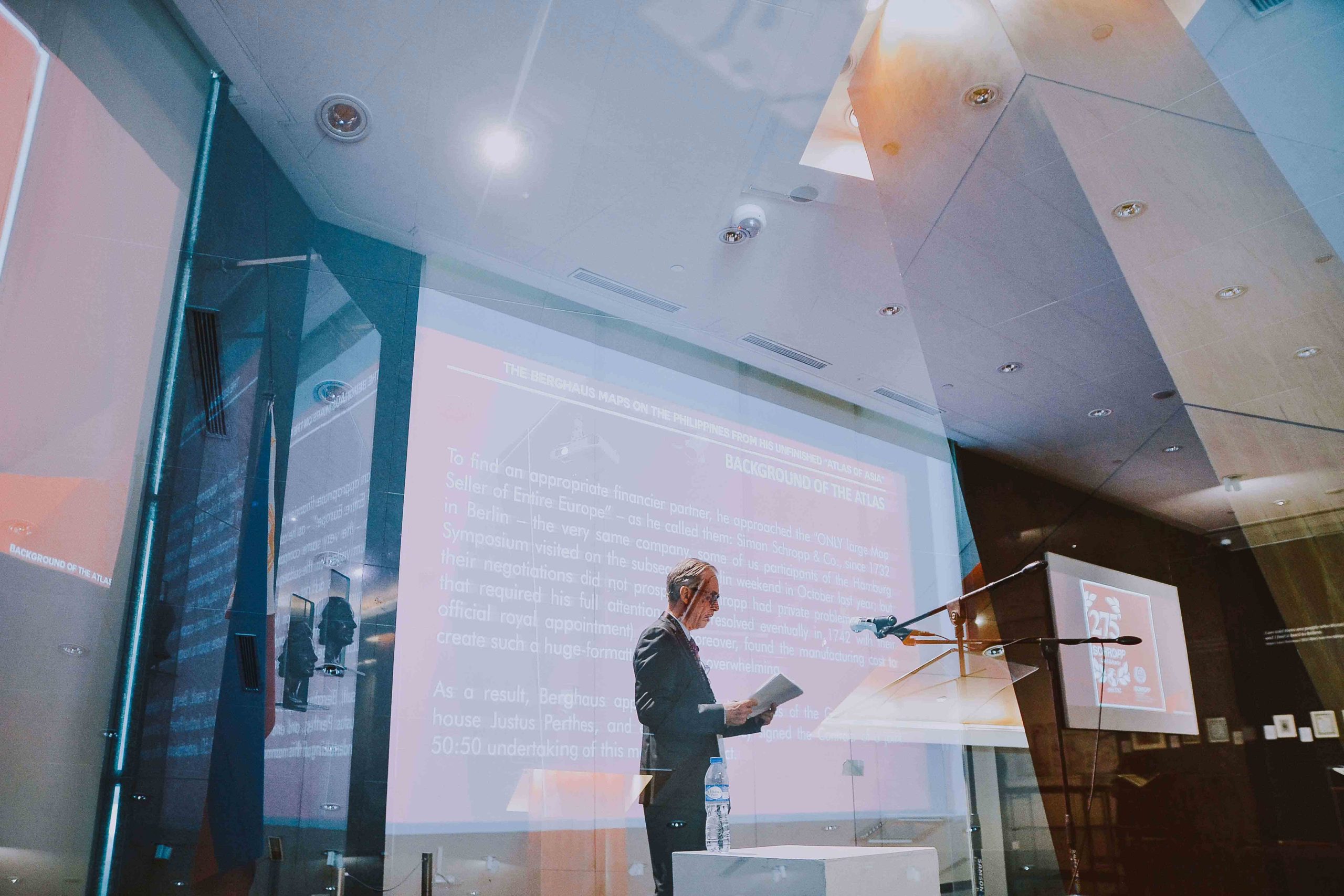
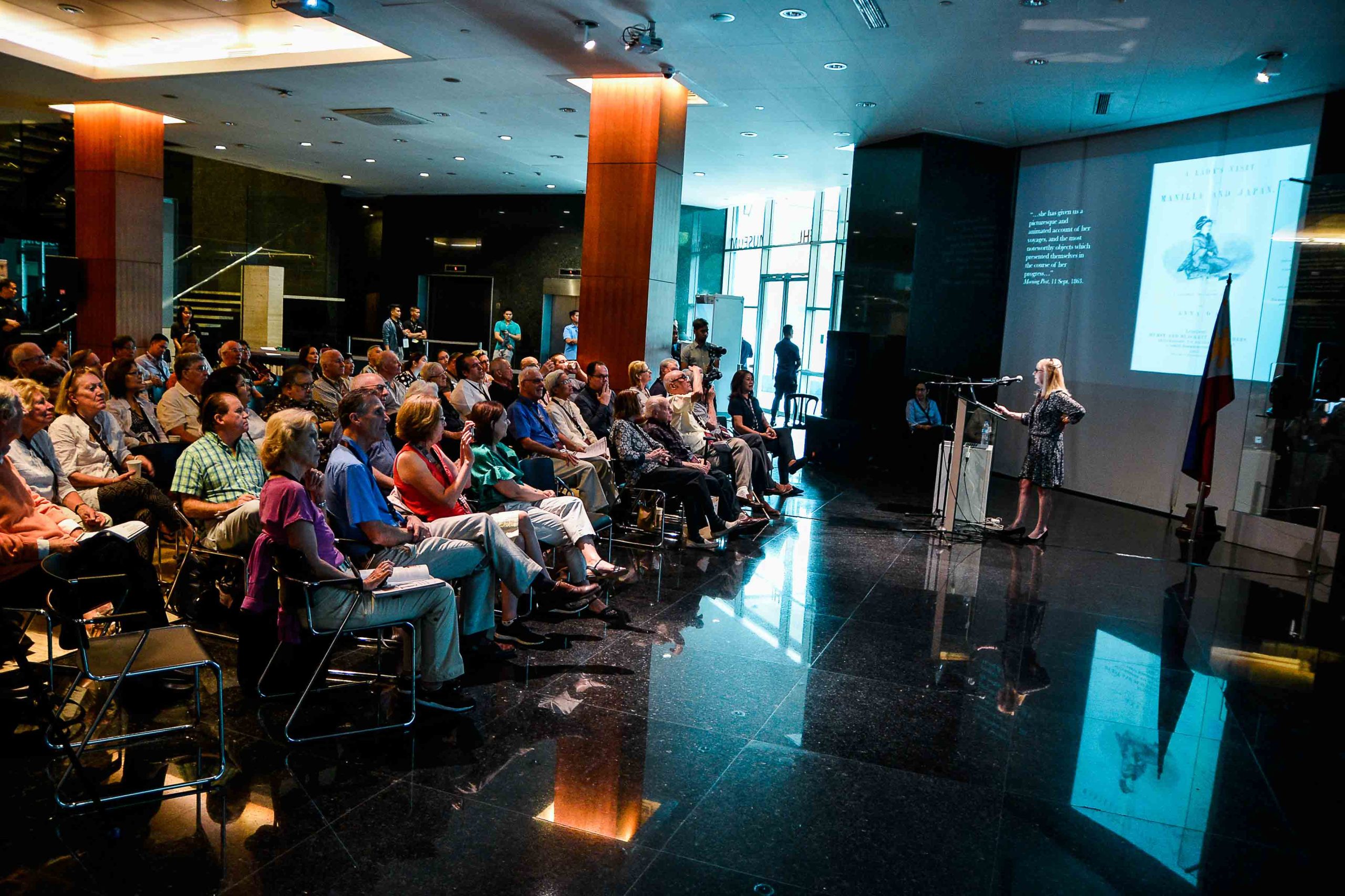
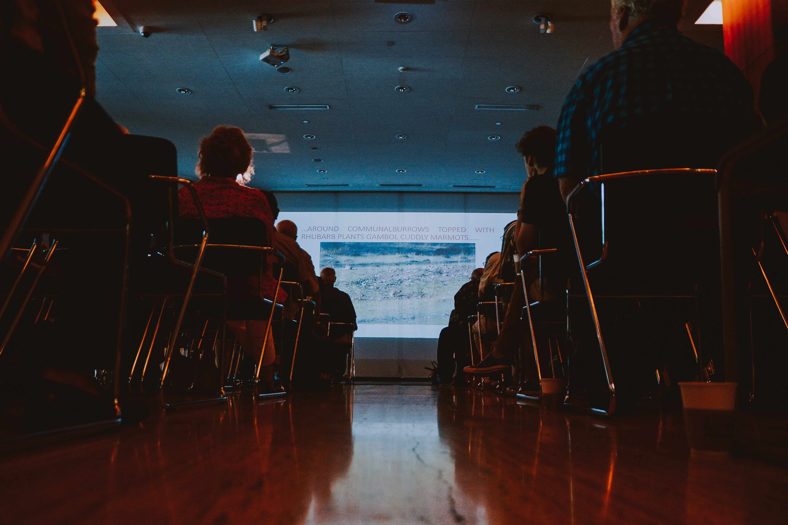
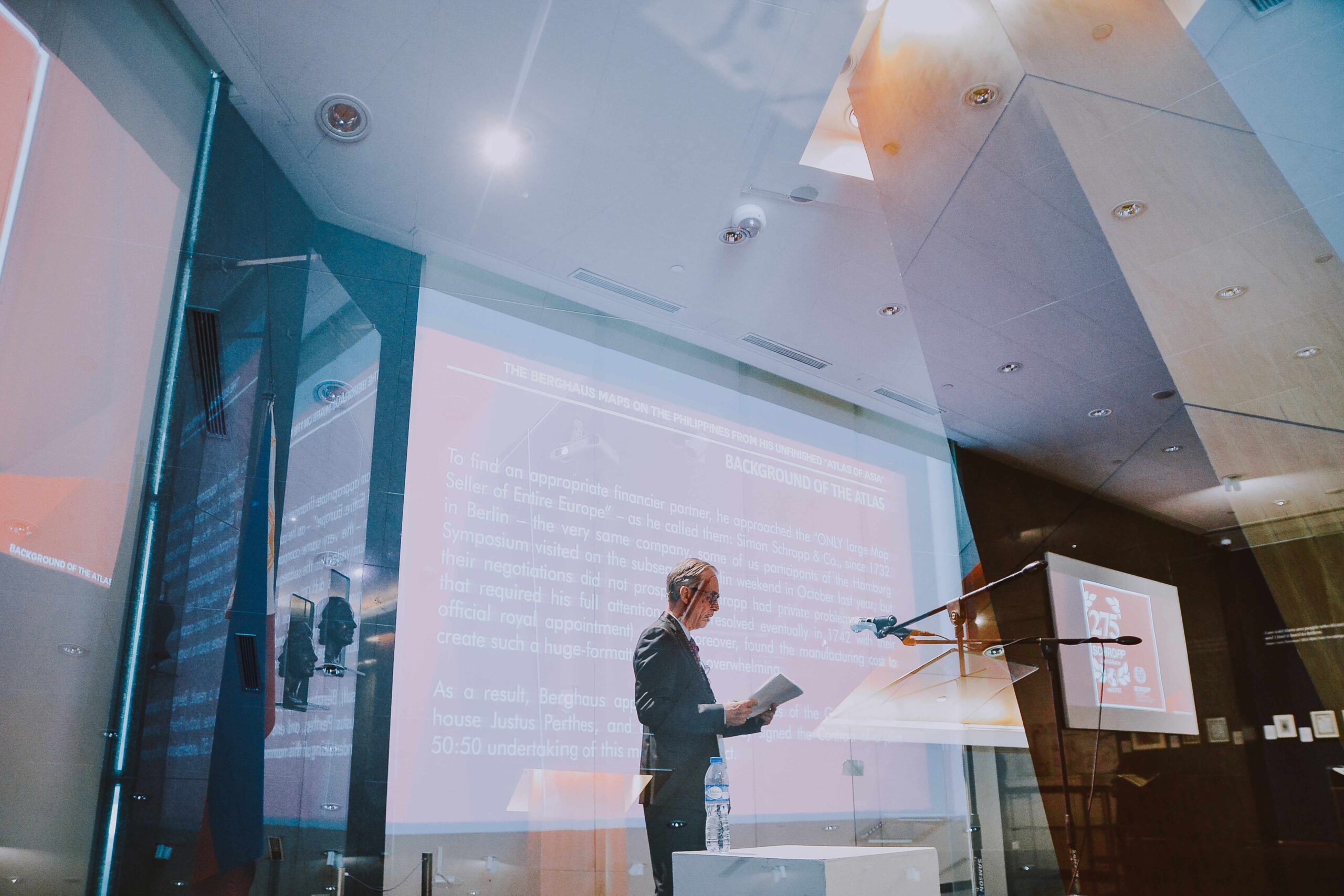
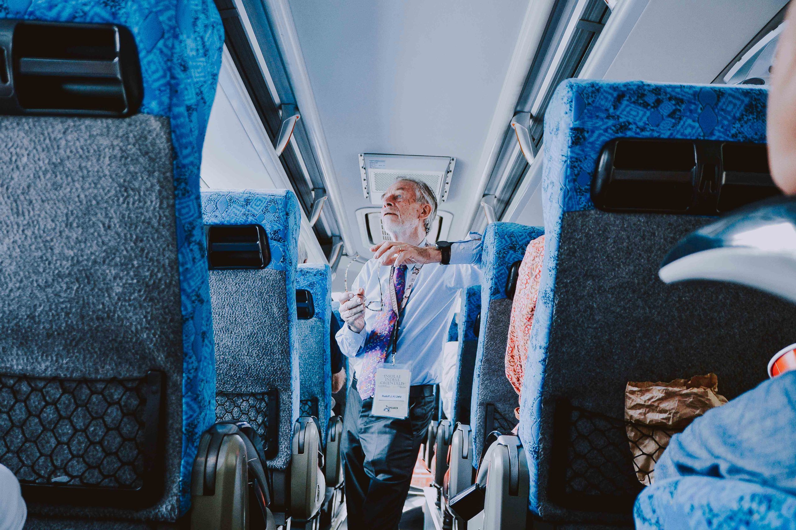
The second day of the symposium continued the exploration of history through maps, travel accounts, and the stories of people who helped shape our understanding of the world. Once again, participants gathered at the Ayala Museum for a morning of fascinating lectures that spanned continents and centuries. The day began with Ljiljana Ortolja-Baird, Editor of the IMCoS Journal, who introduced delegates to the remarkable travels of Anna D'Almeida (1836–1866). Through her lecture, "A Lady's Visit to Manilla and Japan," participants were transported to the Far East through the eyes of one of the nineteenth century's early female travelers, offering a unique perspective on exploration and cultural encounters. Next, Rudolf J. H. Lietz, curator of the Gallery of Prints, presented an in-depth examination of "The Berghaus Map of the Philippines and his Unfinished Atlas of Asia." His lecture shed light on the ambitions and achievements of German cartographer Heinrich Berghaus, revealing the historical significance of his work and its contribution to the mapping of Asia and the Philippine archipelago. Following the coffee and tea break, attendees were treated to an intriguing presentation by Dr. Richard T. Jackson, Emeritus Professor of James Cook University, Australia. In "Rhubarb and Martini: A Strangely Sinister Relationship," he explored unexpected connections between commerce, exploration, and historical trade routes, demonstrating how seemingly unrelated subjects can reveal fascinating chapters of global history. The morning session concluded with Hans D. Kok, Chairman of the IMCoS Executive Committee, who discussed "Local Exploration Highlights in the Days of the Dutch United East India Company (VOC)." His lecture highlighted the voyages, discoveries, and cartographic achievements that emerged during one of the most influential periods of maritime exploration and trade.
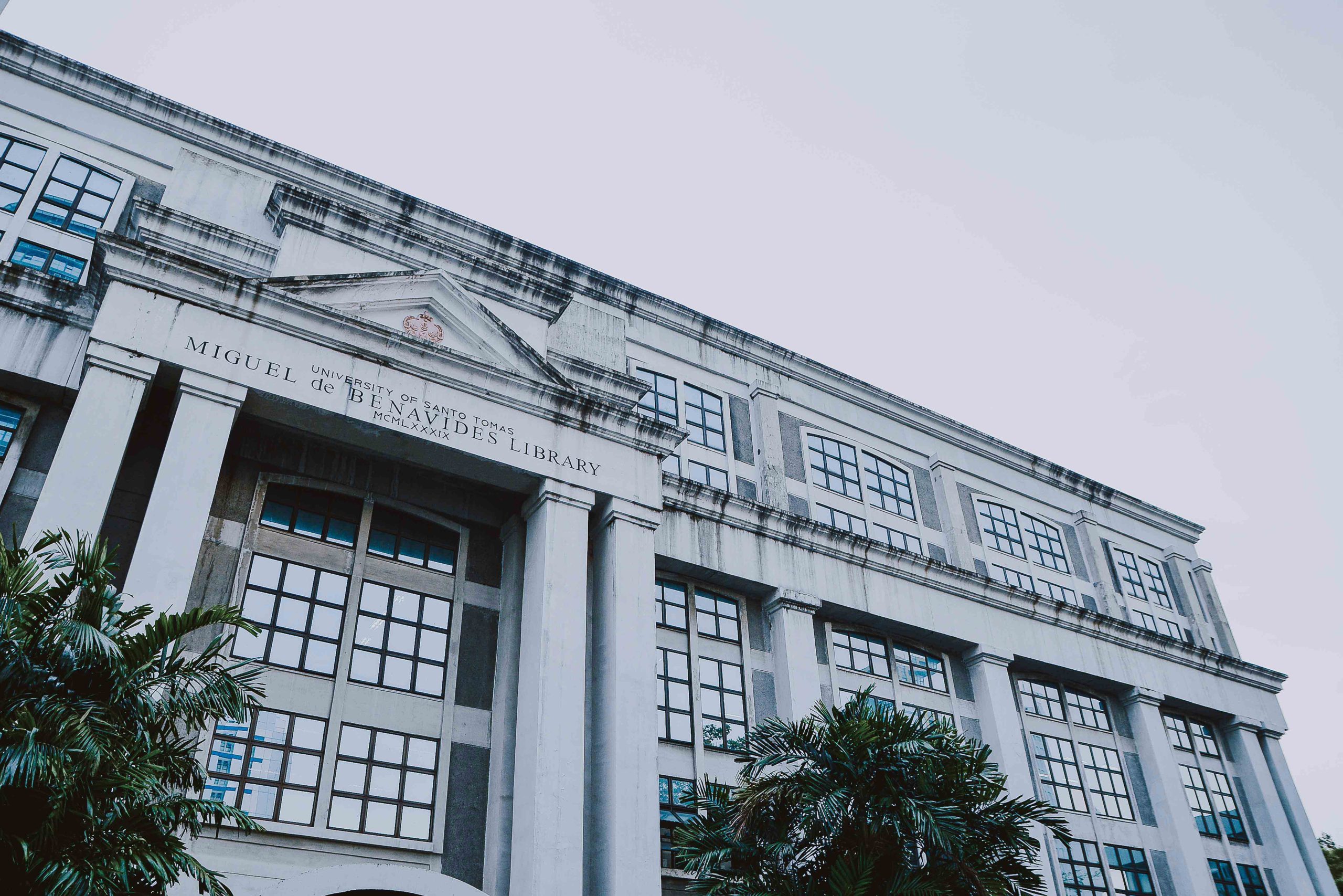
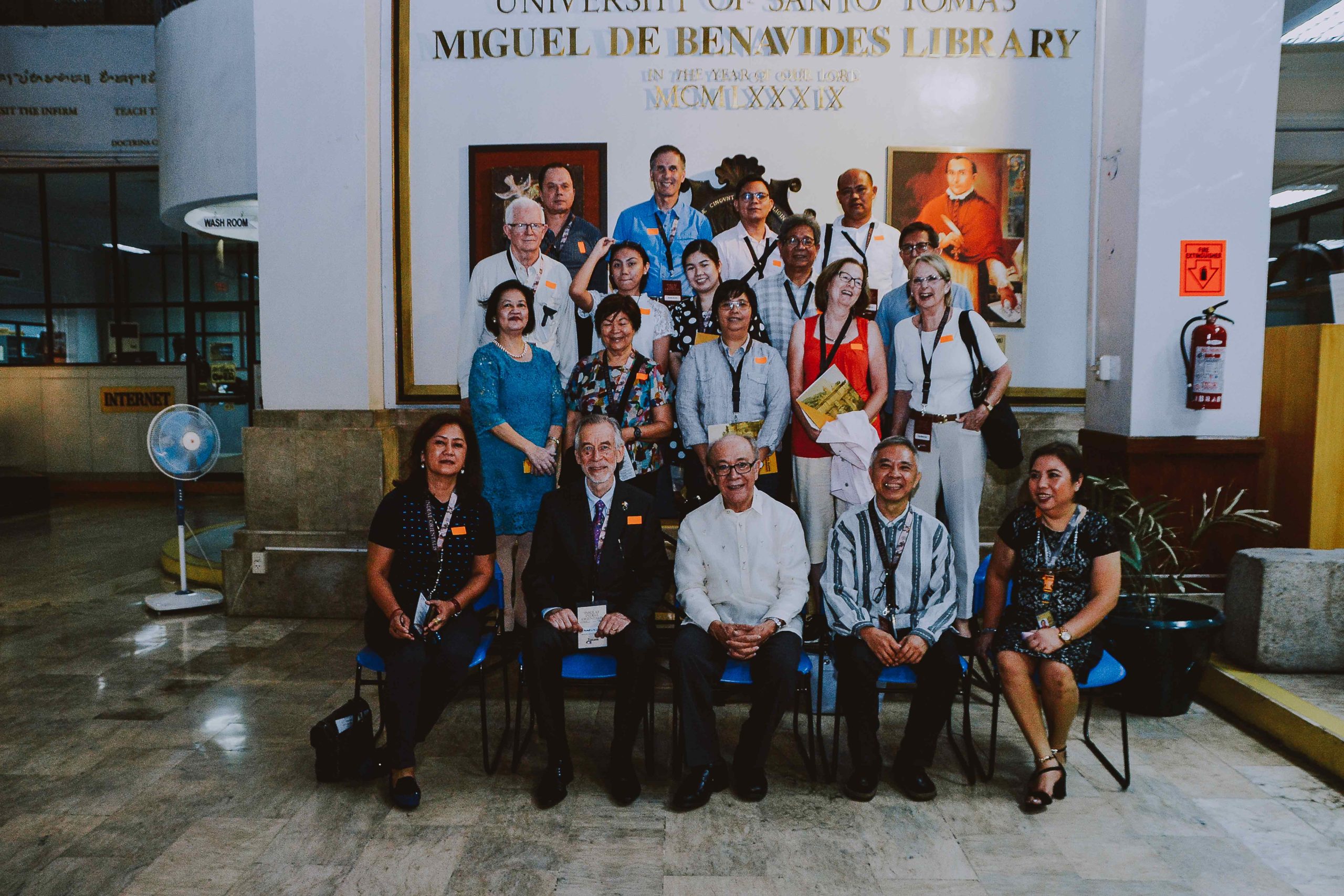
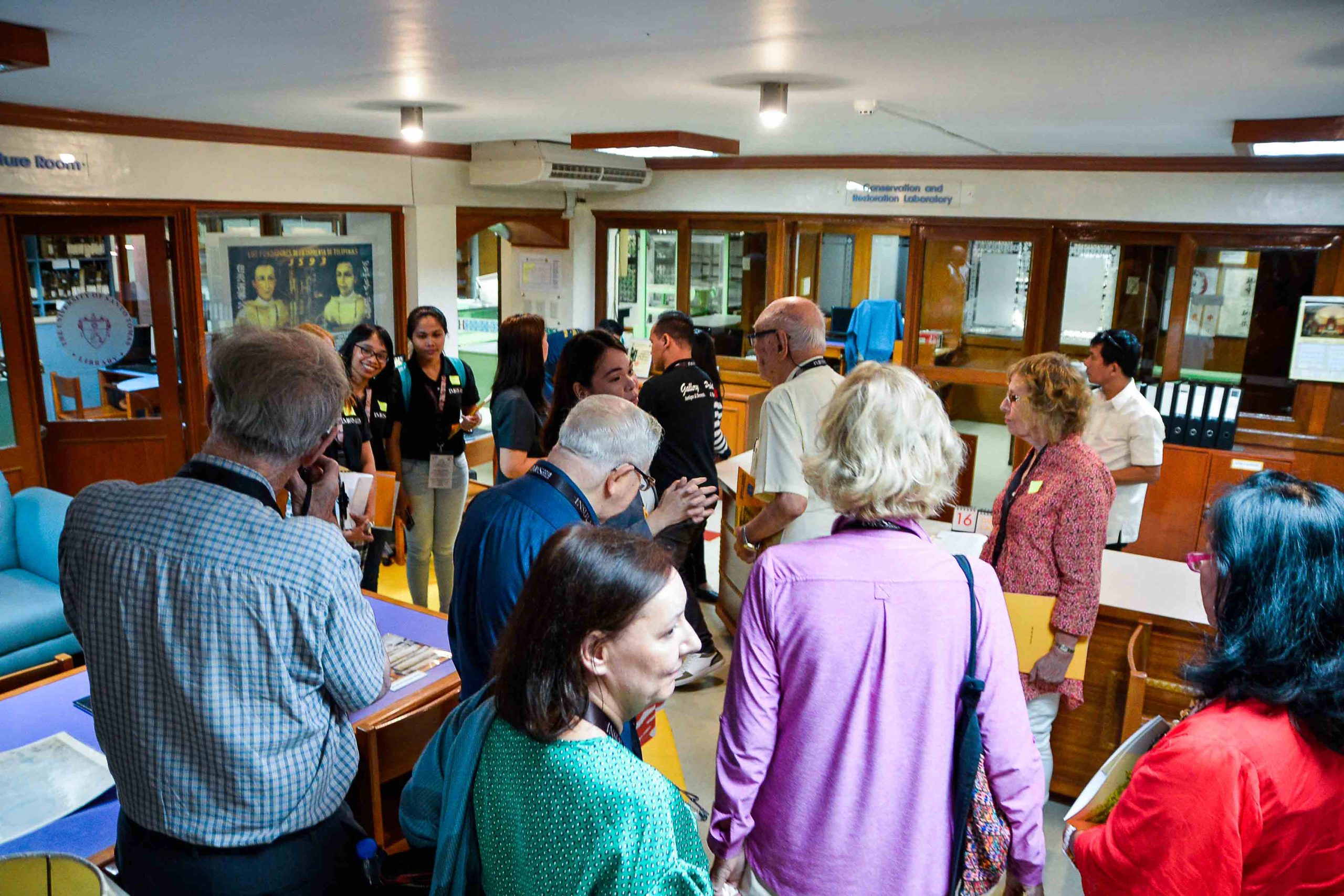
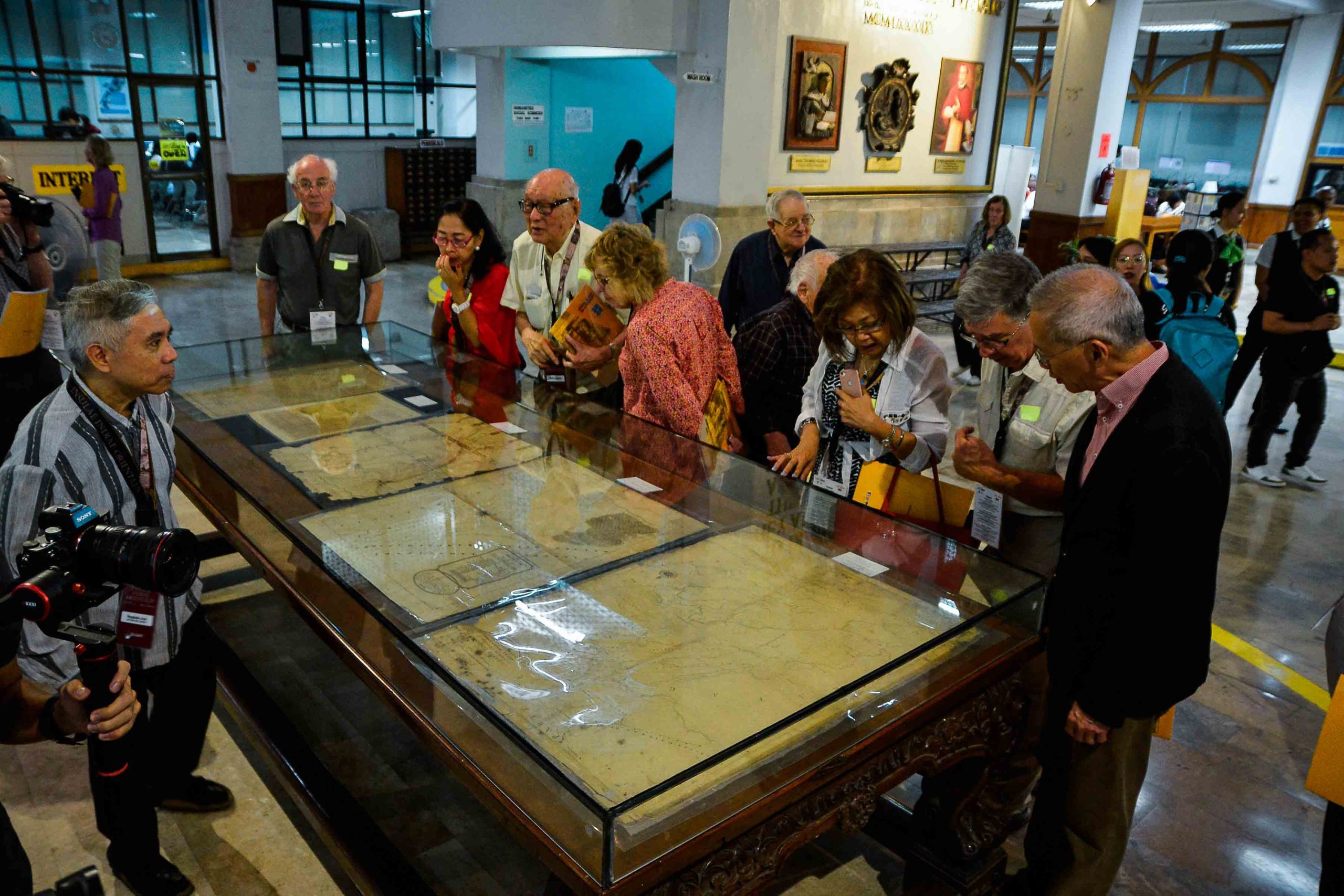
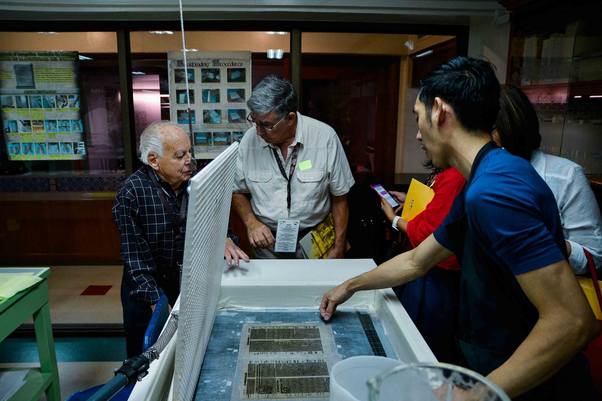
Miguel de Benavides Library at the University of Santo Tomas
España Boulevard, City of Manila
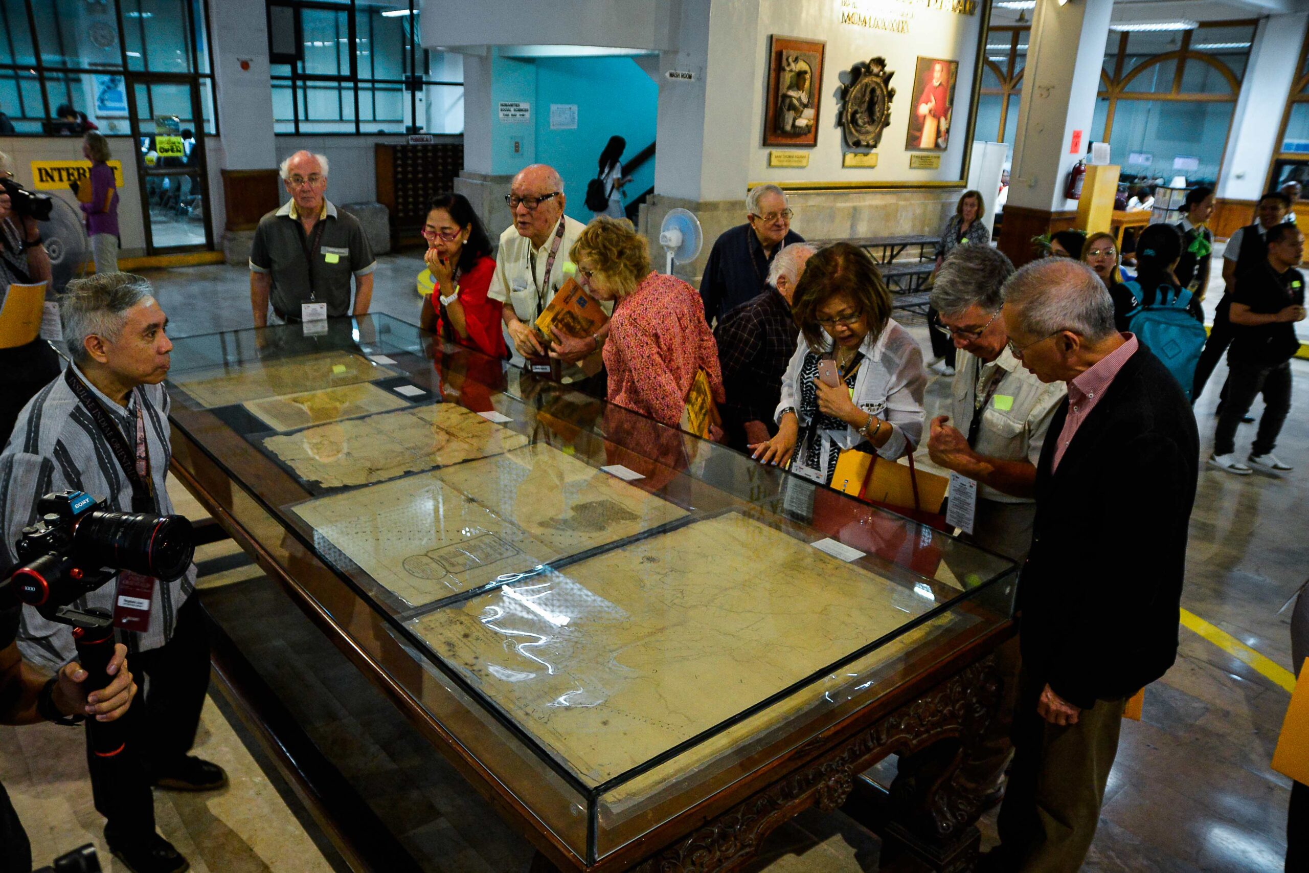
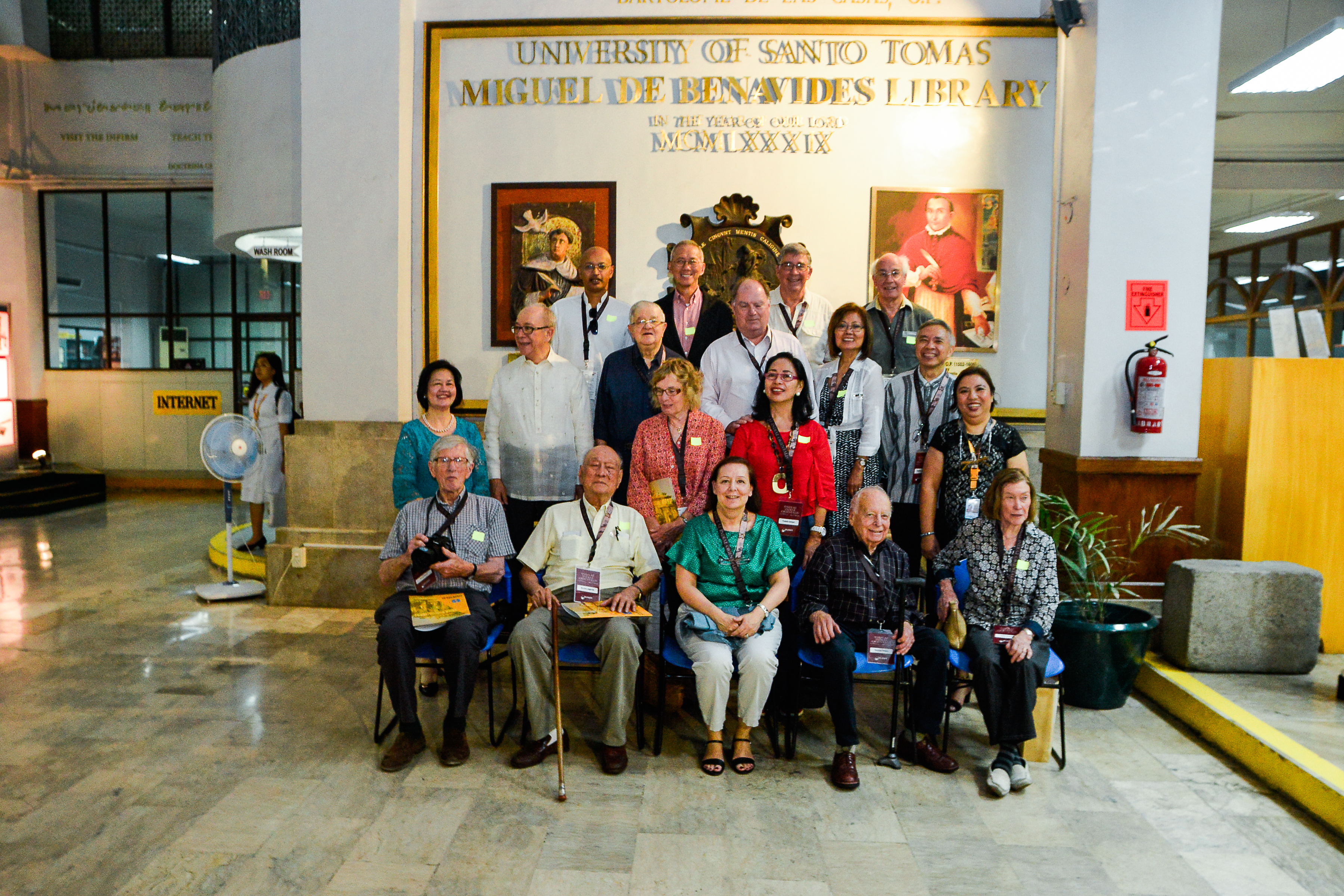
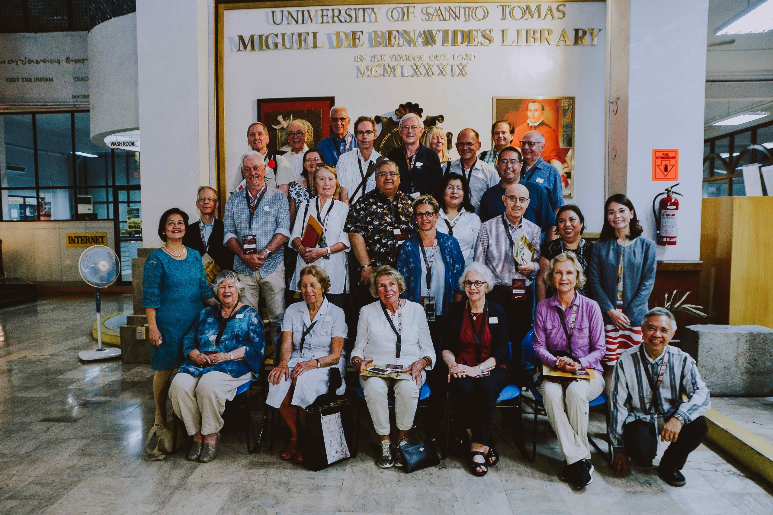
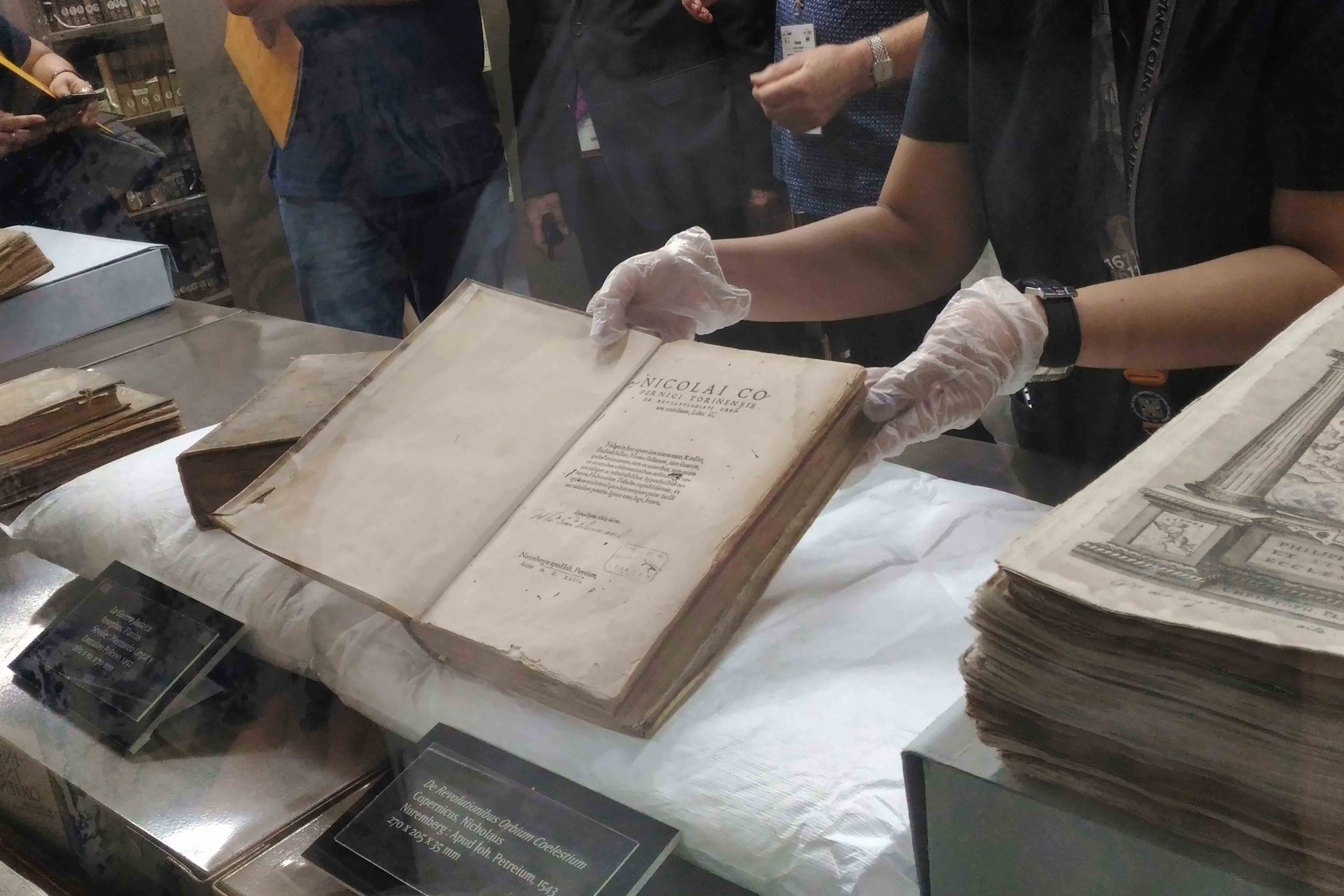
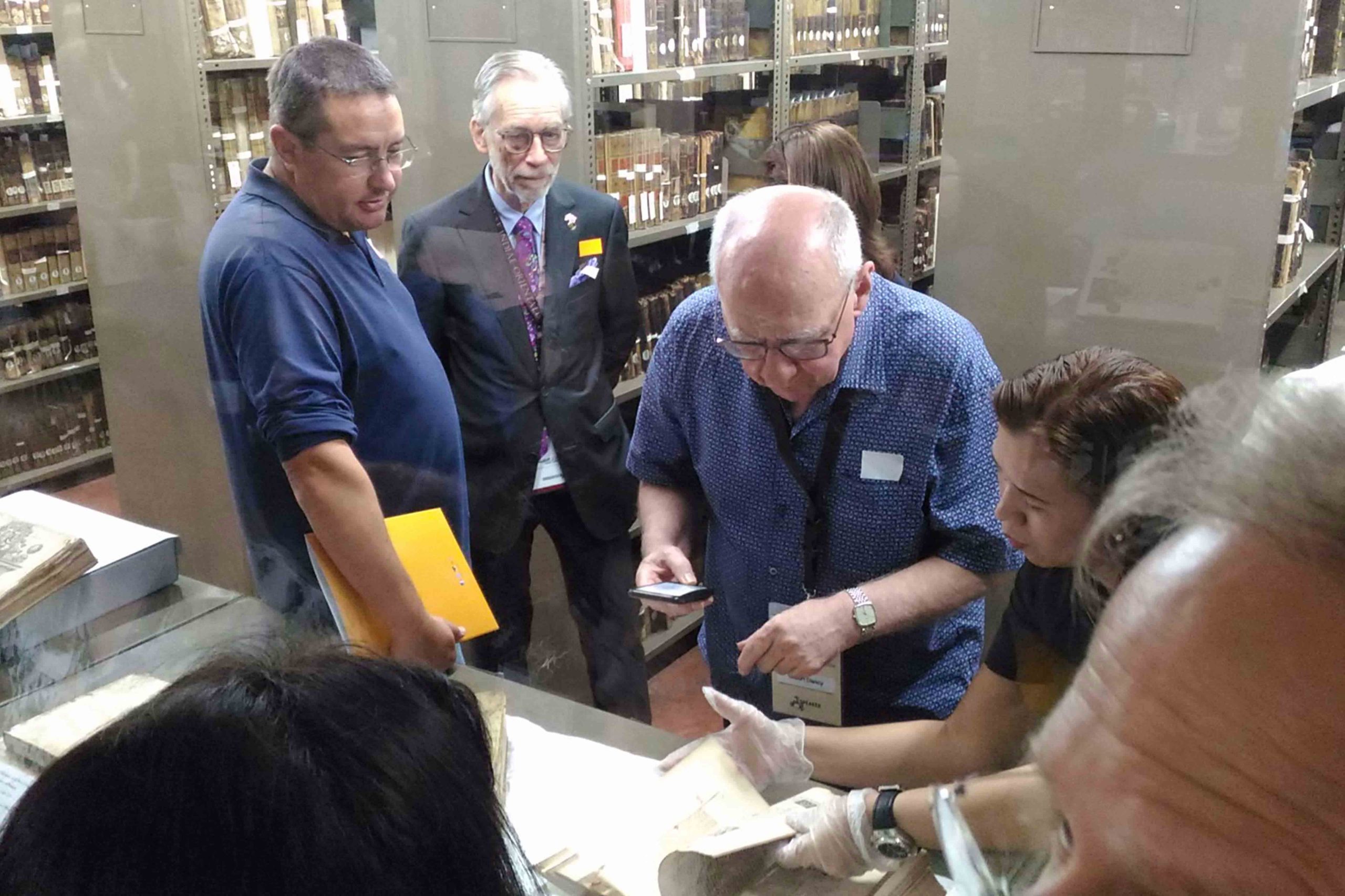
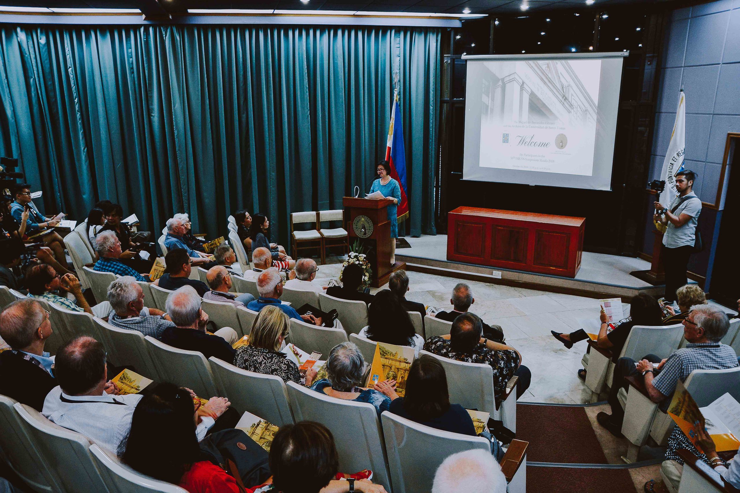
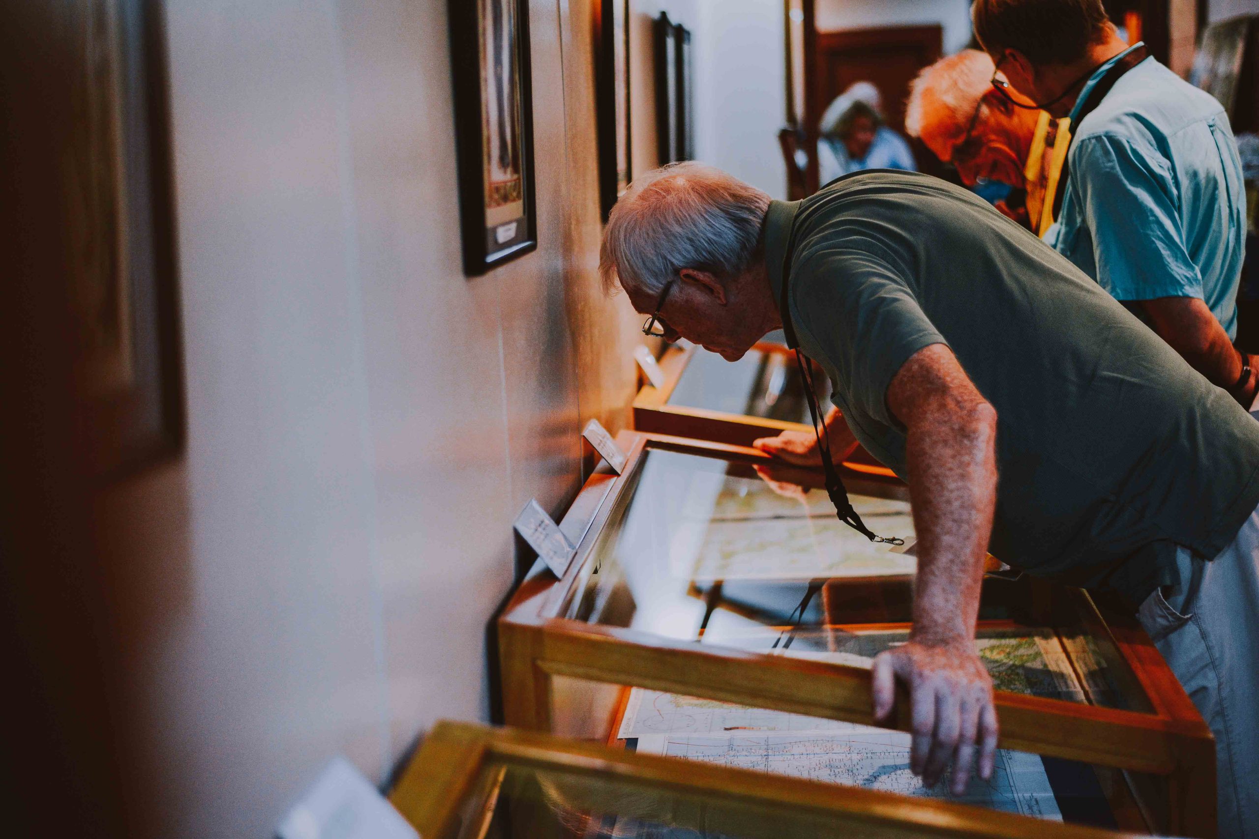
In the afternoon, participants traveled to the historic Miguel de Benavides Library at the University of Santo Tomas in Manila. Home to one of the oldest and most significant collections of rare books, manuscripts, maps, and archival materials in the Philippines, the library offered a rare opportunity to view invaluable treasures preserved through centuries. Delegates explored its collections and gained deeper appreciation for the role of libraries and archives in safeguarding the documentary heritage of the nation. The day concluded with participants enriched by new perspectives on travel, exploration, commerce, and cartography, while the visit to one of the Philippines' most distinguished repositories of historical knowledge provided an unforgettable highlight of the symposium.
Day 3
Trade Routes, Maritime Worlds, and Celebratory Farewell
Ayala Museum, Makati City
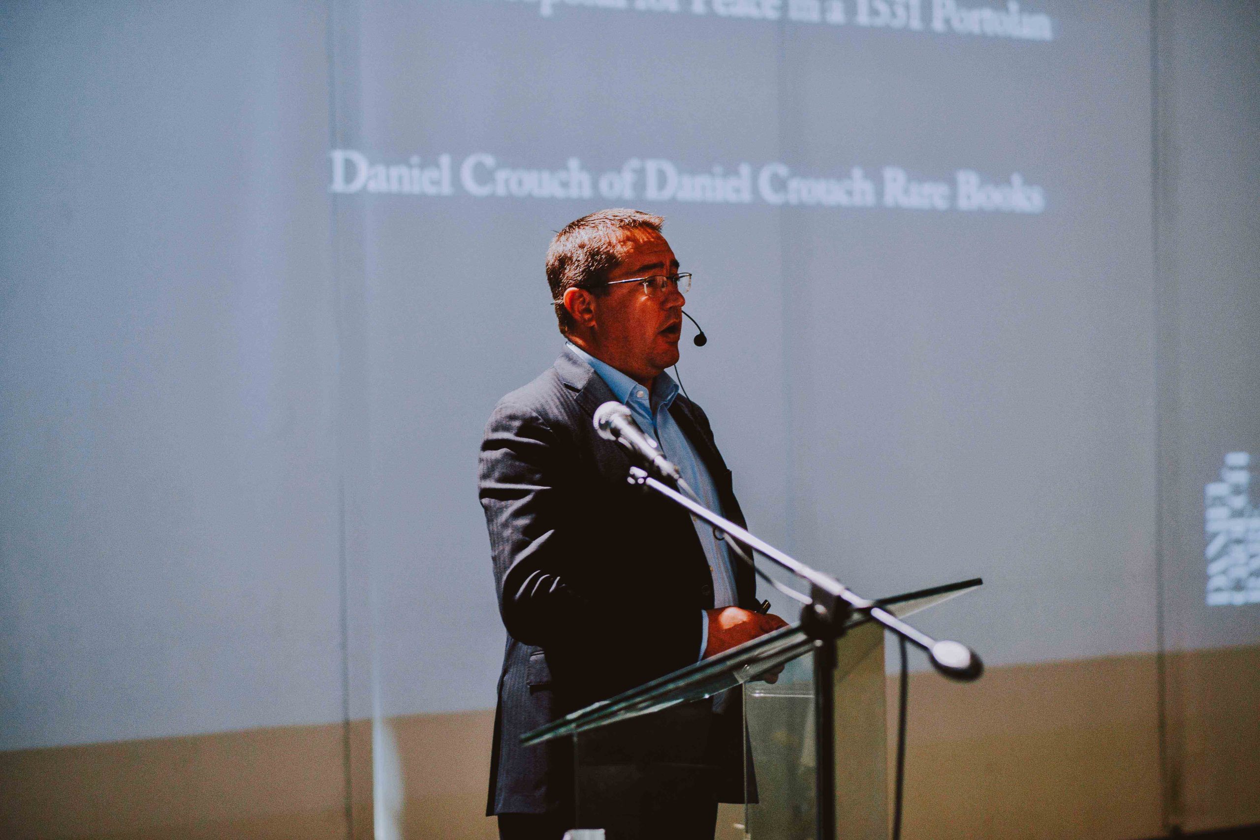
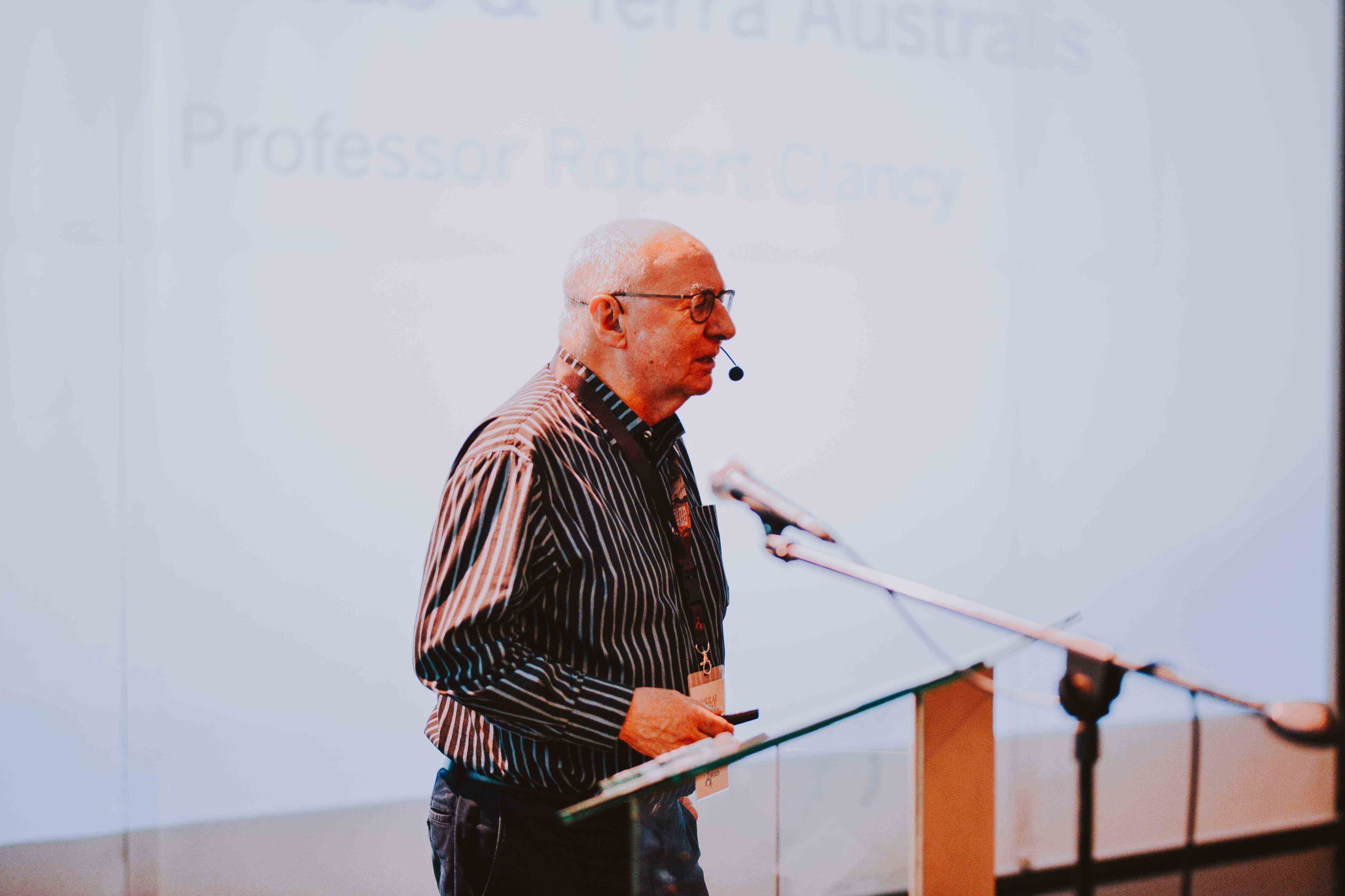
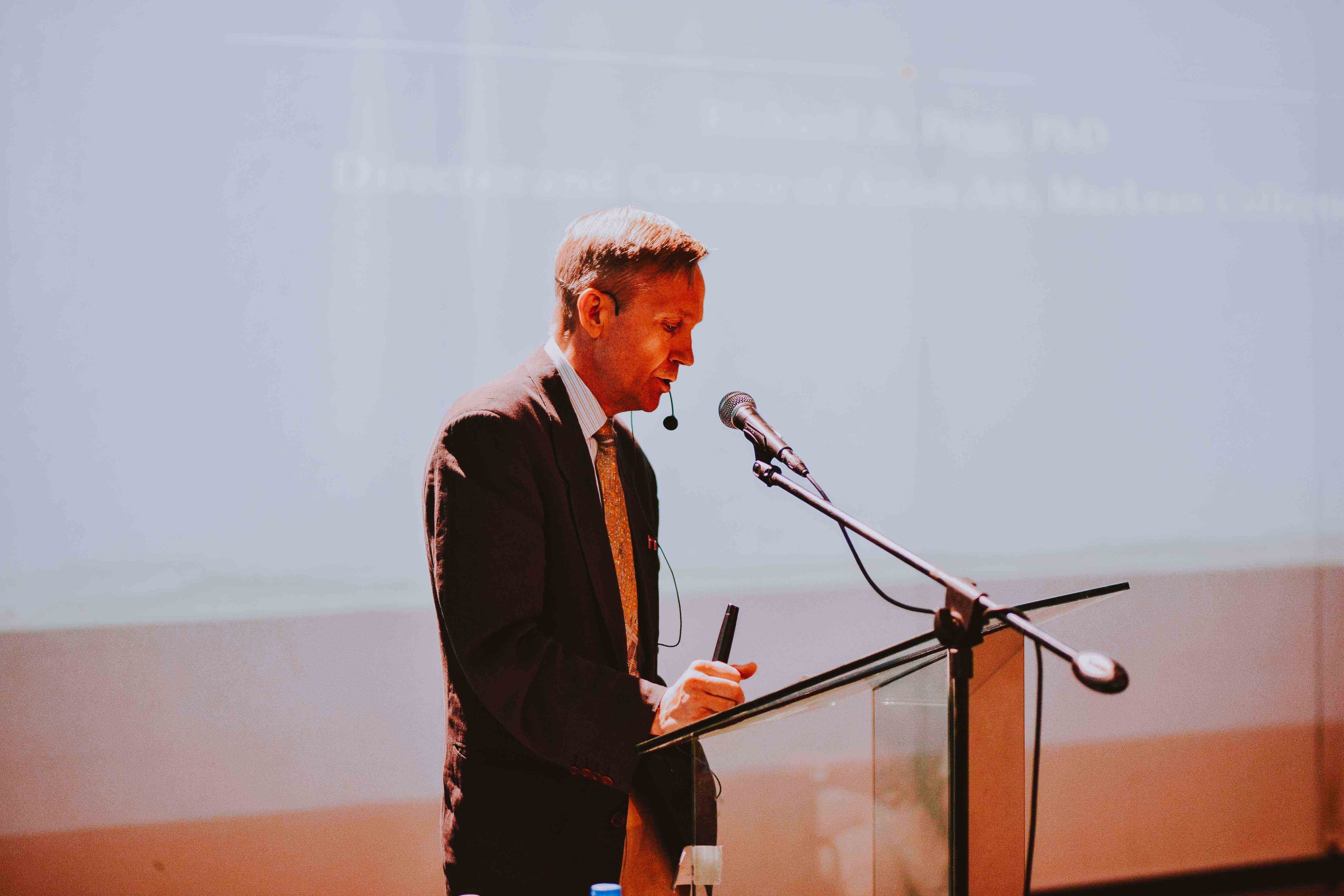
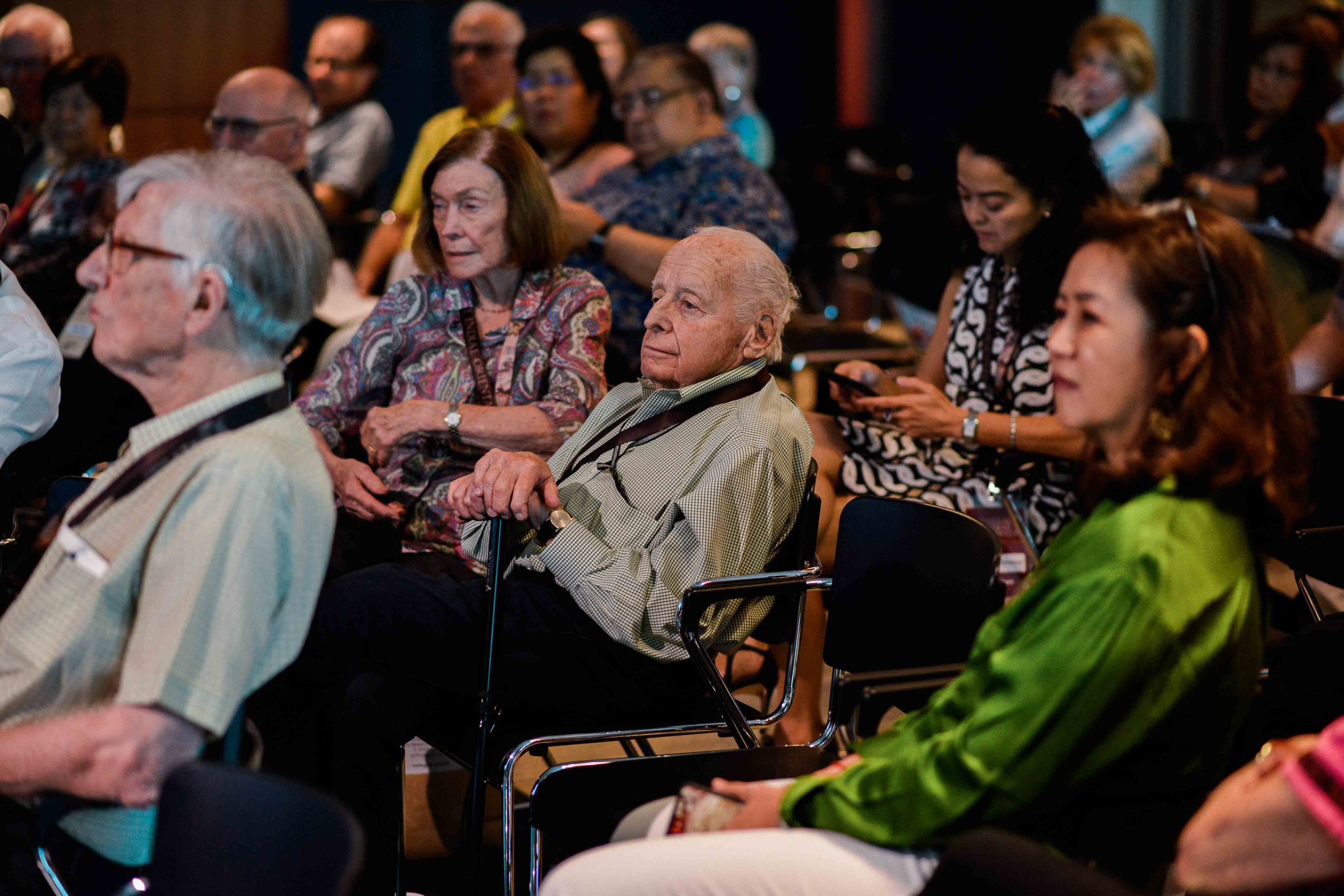
The third day of the symposium brought together fascinating perspectives on global trade, exploration, and the interconnected maritime networks that linked Asia, the Americas, and Europe. Through a series of engaging lectures, participants explored how maps not only documented the world but also facilitated the exchange of goods, ideas, and cultures across vast distances. The morning began with Martine Chomel Harent, former curator of the Museo Nacional de Historia in Mexico City, who examined the historic trade relationship between New Spain and Manila. Her presentation highlighted the significance of the Manila Galleon trade, one of history's most important commercial links, which connected Asia and the Americas for more than two centuries and shaped the economic and cultural development of both regions. Following this, Robert Clancy AM FRS(N) explored the intriguing topic of "One Step Too Far: The Spanish Lake, The Moluccas and Terra Australis." His lecture traced the ambitions, discoveries, and misconceptions that influenced European exploration of the southern hemisphere, shedding light on the evolving geographical understanding of the region. After the coffee and tea break, Dr. Richard Pegg, Director and Curator of Asian Art at the MacLean Collection in Chicago, discussed the role of Chinese cartography and commercial networks in shaping regional connections. His presentation, "Chinese Maps, Trade Networks and the Philippines," demonstrated how trade routes and mapping traditions contributed to the exchange of knowledge and commerce throughout Asia. The morning's lectures concluded with Daniel Crouch, partner of Daniel Crouch Rare Books, who presented "The Maggiolo Mystery – A Failed Proposal for Peace in a 1531 Portolan." Through a detailed examination of a remarkable nautical chart, he revealed the fascinating political and diplomatic story hidden within one of the cartographic treasures of the early sixteenth century.
Ortigas Foundation: Map Collection & Lopez Museum Map Collection
Pasig City, Metro Manila
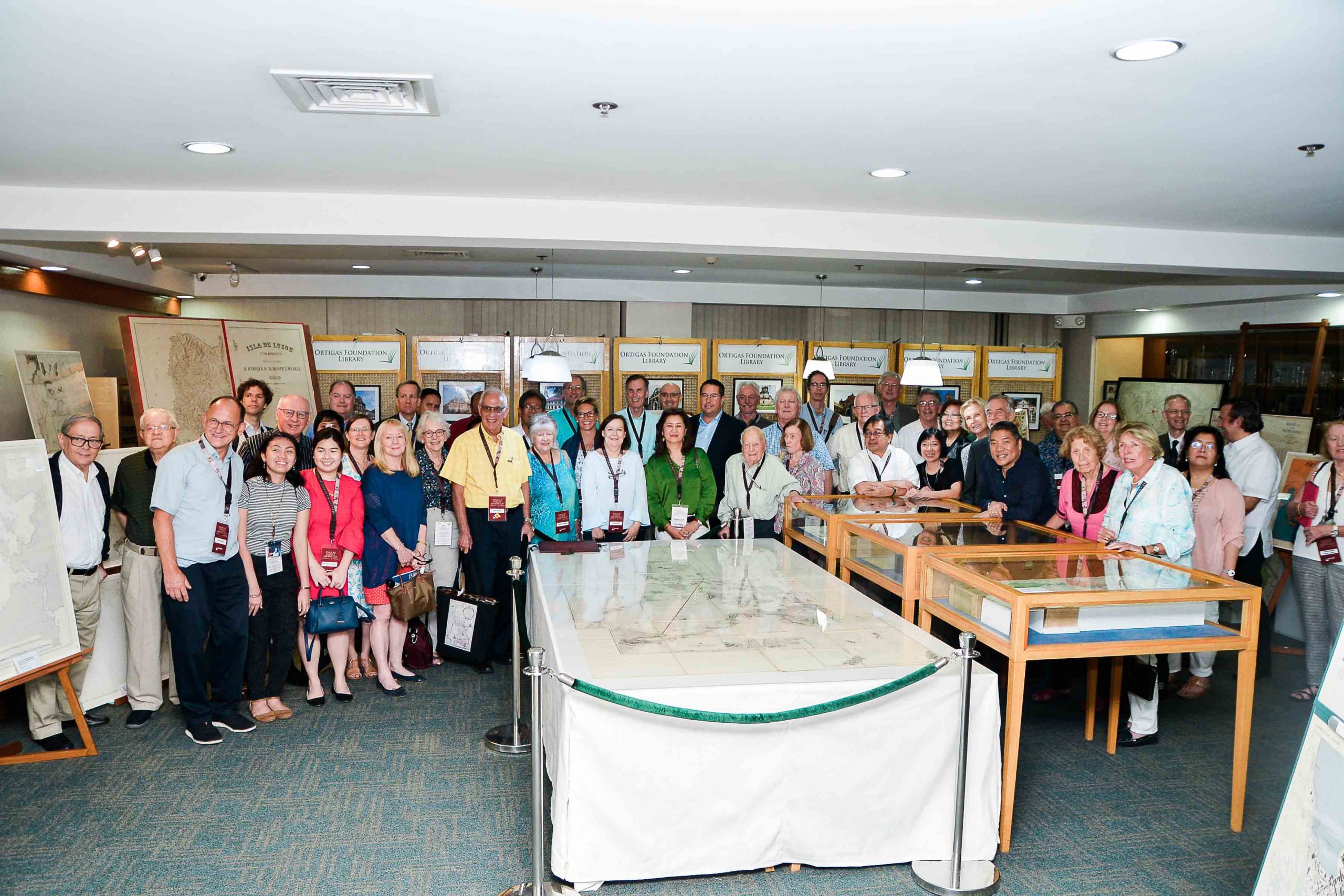
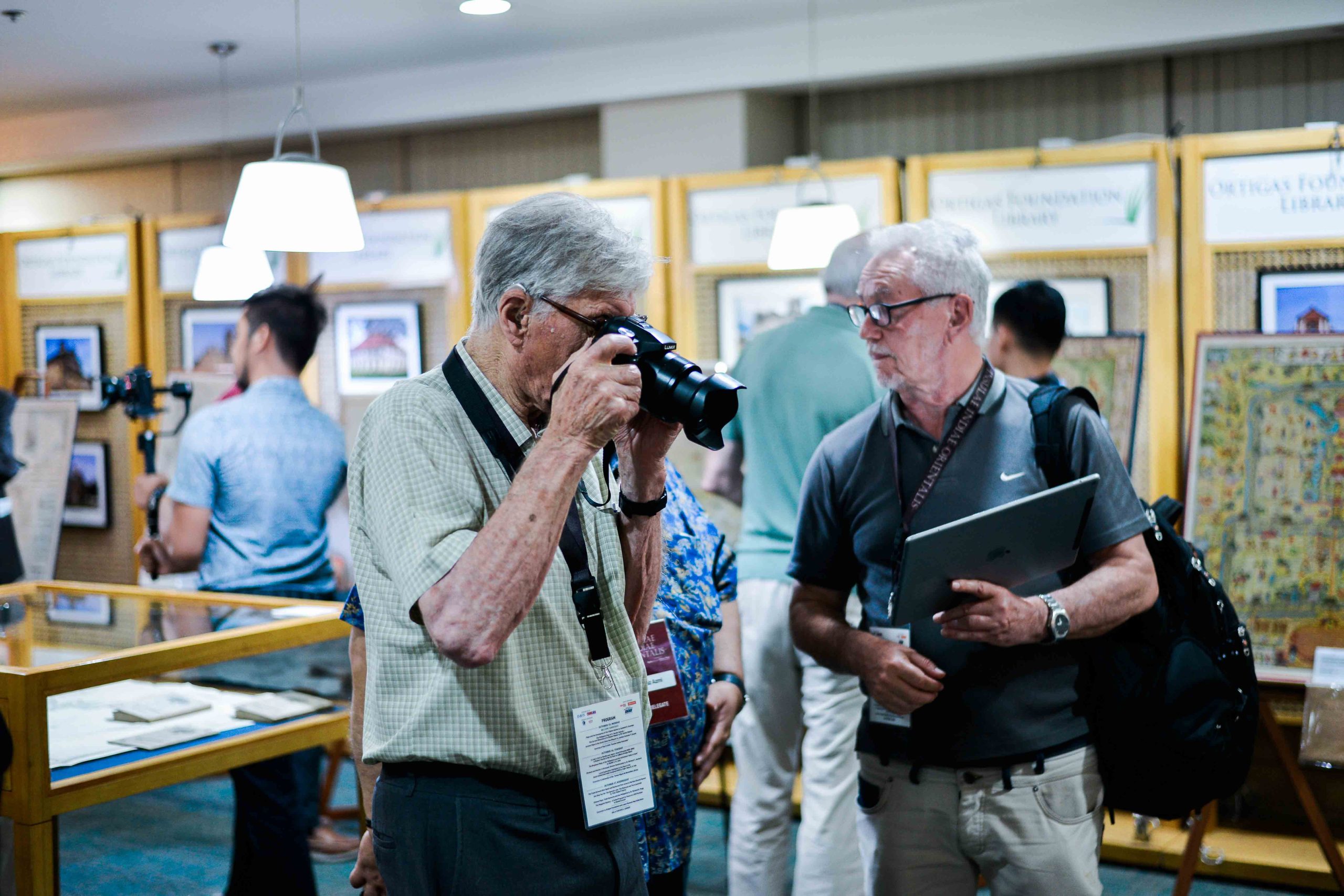
In the afternoon, delegates visited two of the Philippines' most important private cartographic collections. The first stop was the Ortigas Foundation, home to an extensive collection of rare maps, books, and historical documents that chronicle the development of the Philippines and Southeast Asia. Participants then proceeded to the Lopez Museum, where they viewed another distinguished collection of maps and archival materials, gaining valuable insights into the country's rich cartographic heritage.
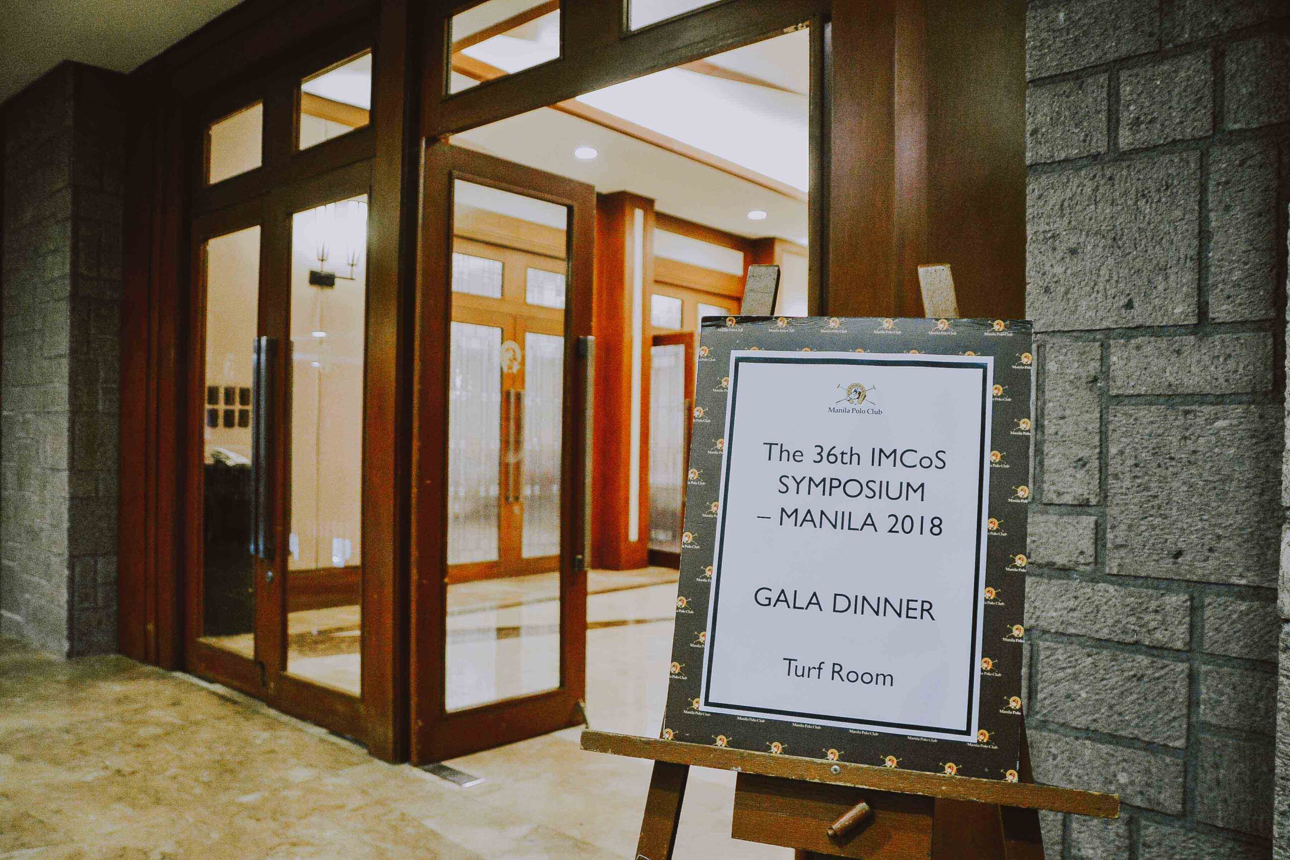
IMCoS Gala Dinner
Manila Polo Club

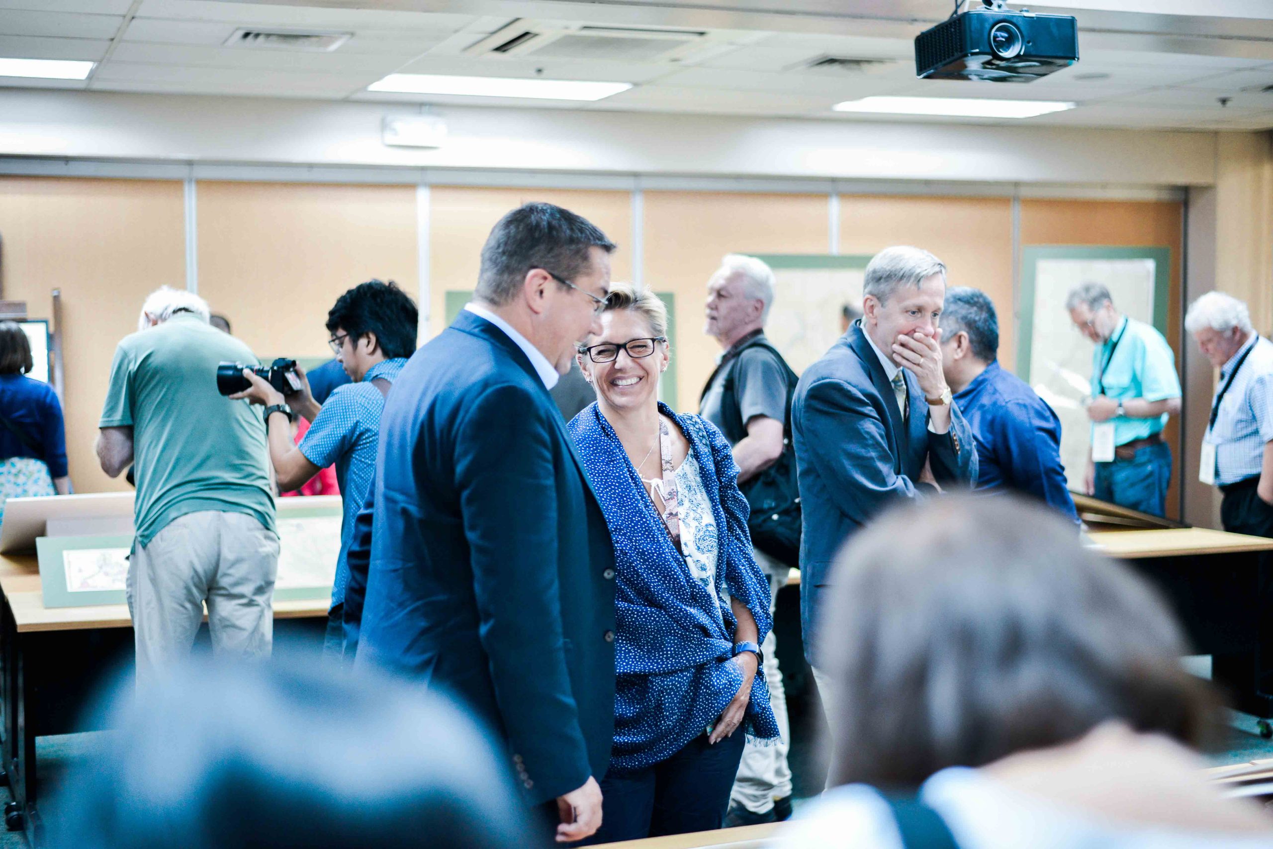
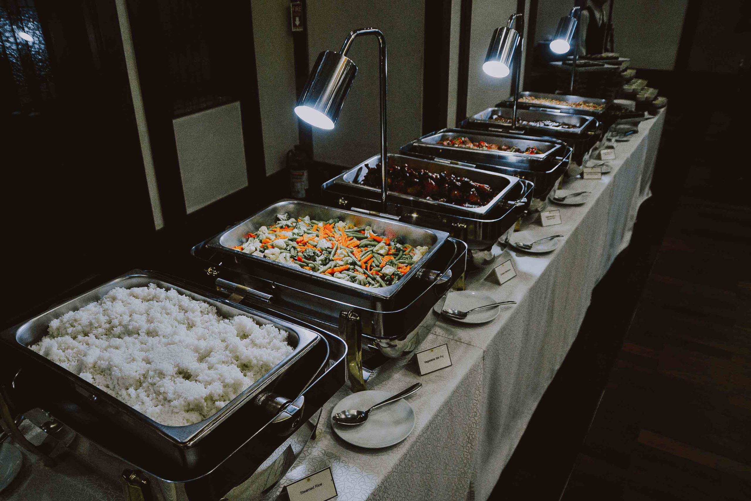
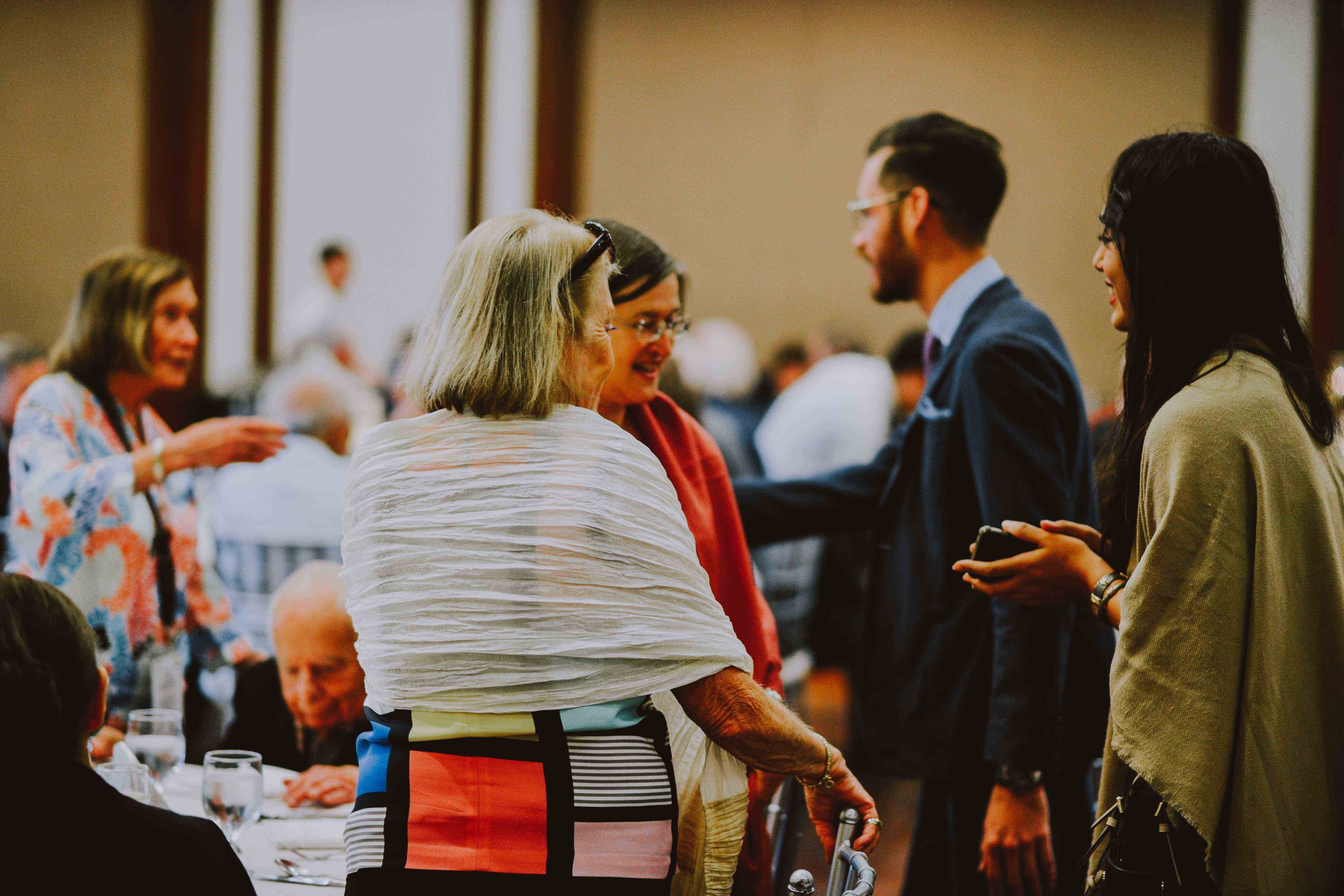
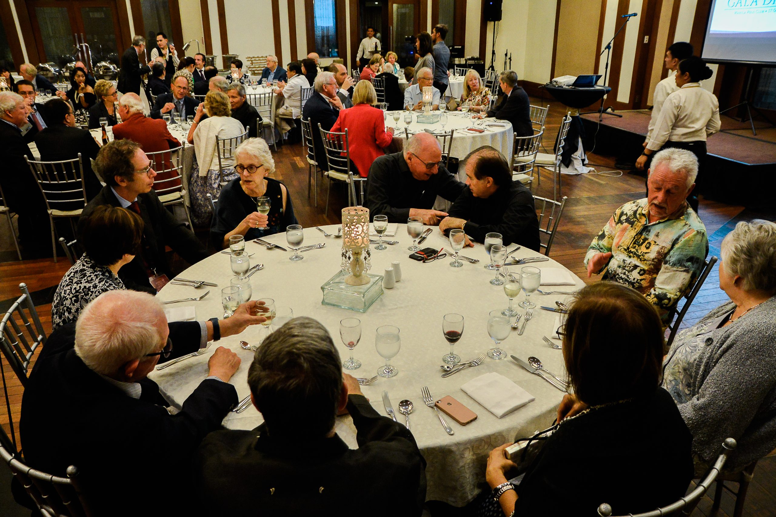
As evening approached, participants gathered for the much-anticipated IMCoS Gala Dinner at the prestigious Manila Polo Club. The elegant event provided an opportunity to celebrate the friendships, discoveries, and shared experiences of the symposium. Amidst fine dining and lively conversation, delegates reflected on the lectures, exhibitions, and visits that had made the gathering memorable. The Gala Dinner served as a fitting culmination of the symposium's academic program, bringing together members of the international cartographic community in a spirit of camaraderie and appreciation.
The third day concluded not only with a deeper understanding of historical trade and exploration but also with a celebration of the enduring connections that maps continue to foster among people, cultures, and nations.